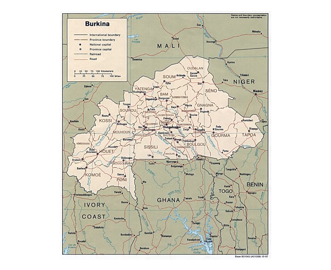
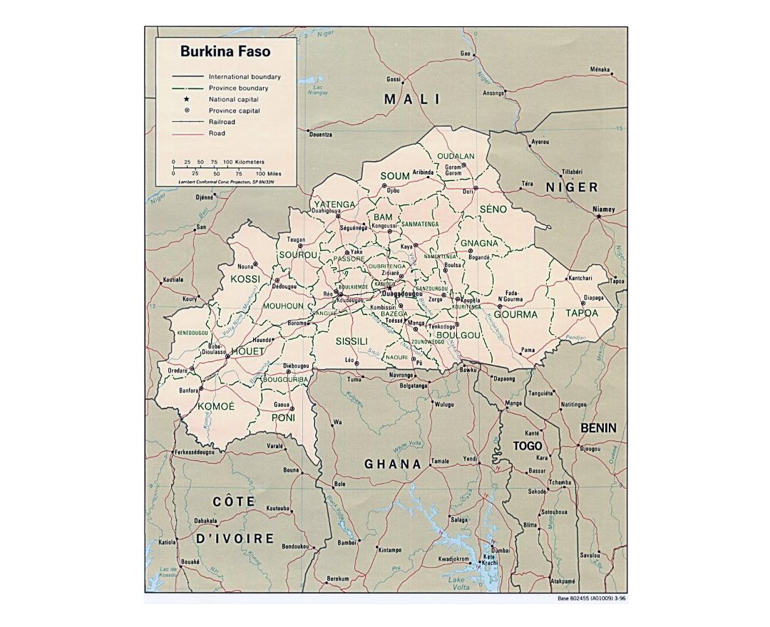
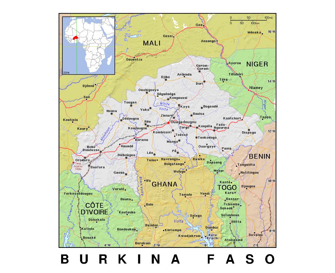
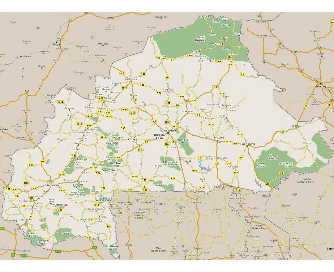
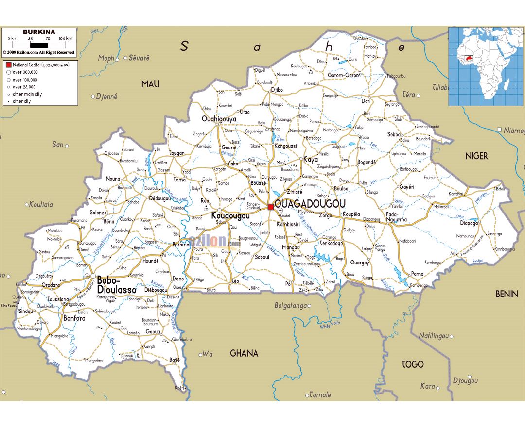
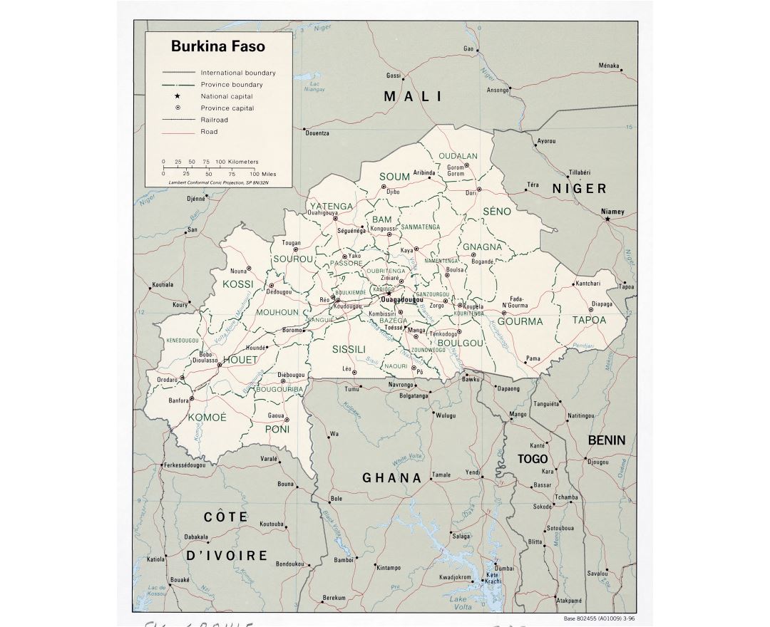
Burkina Faso
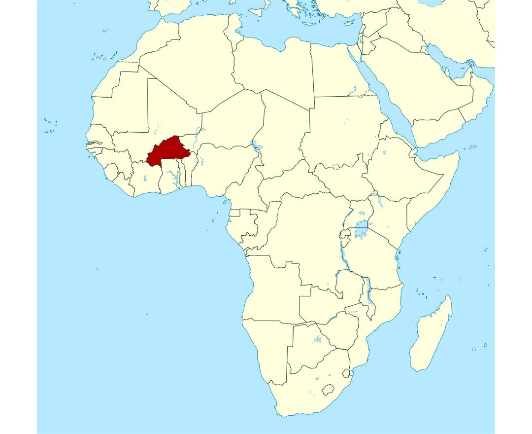
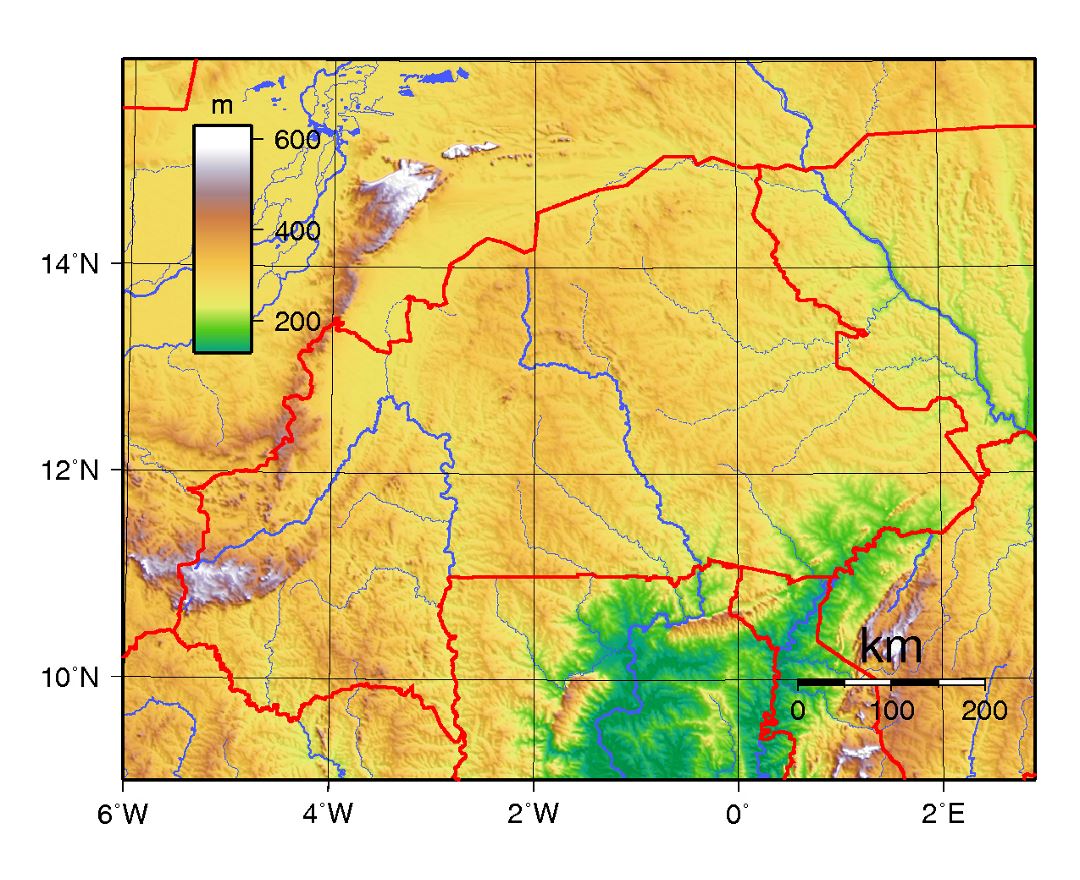
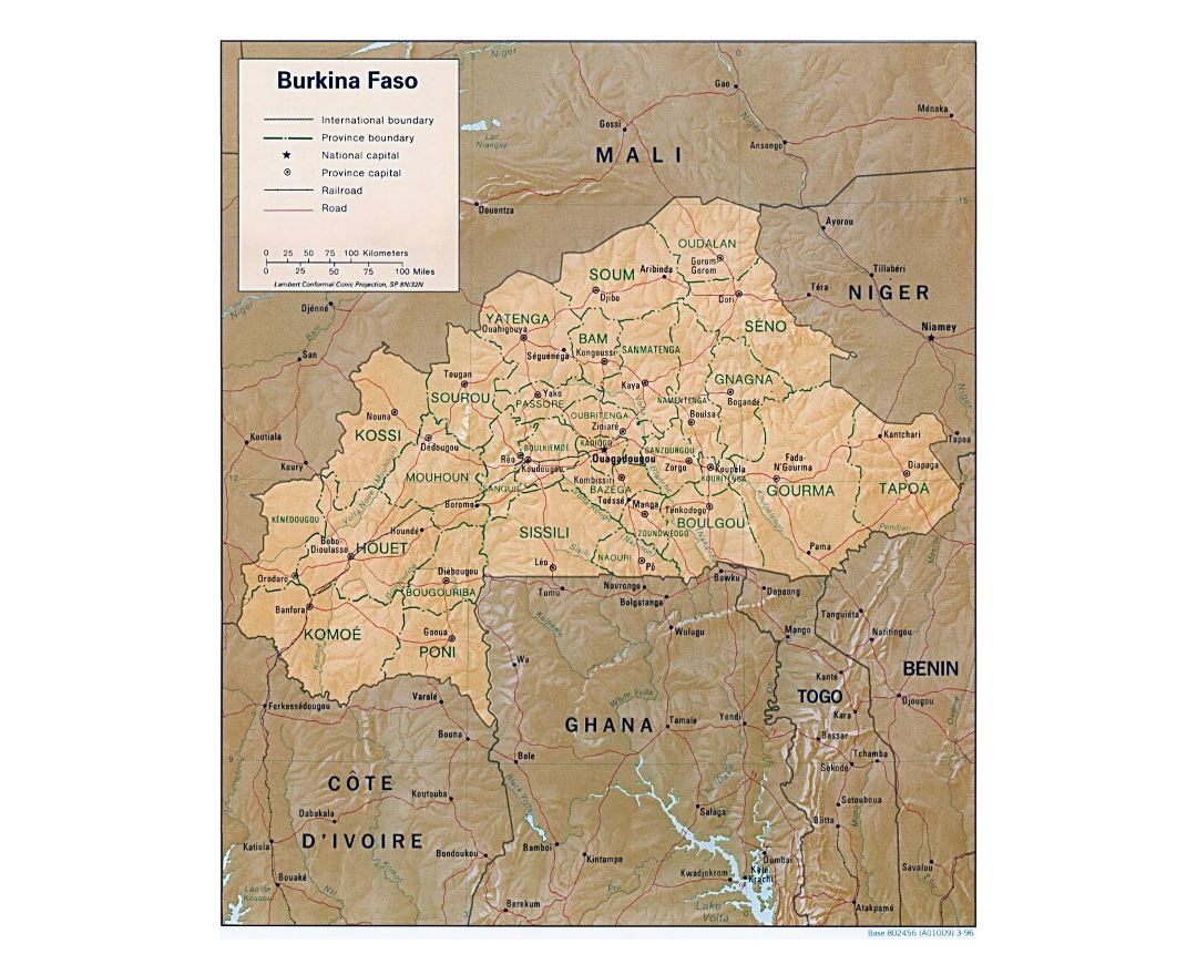
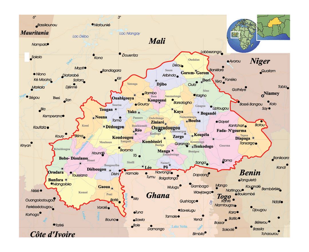
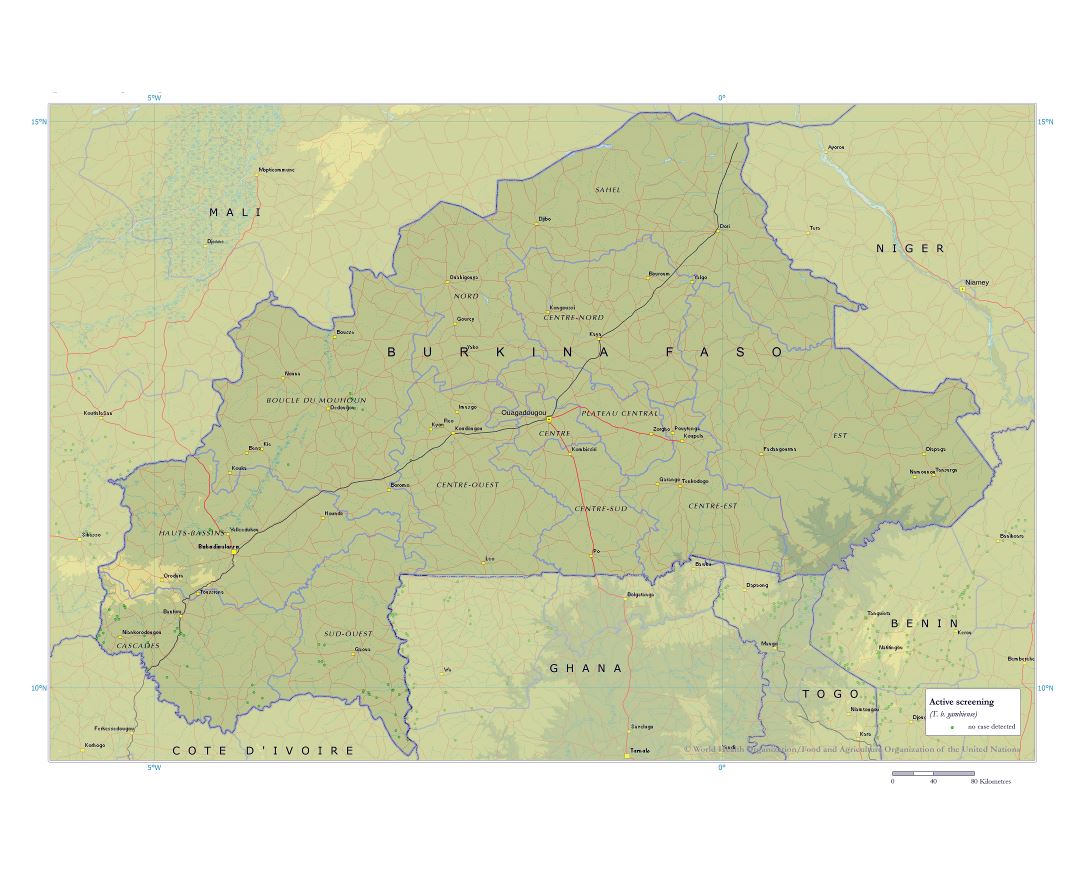
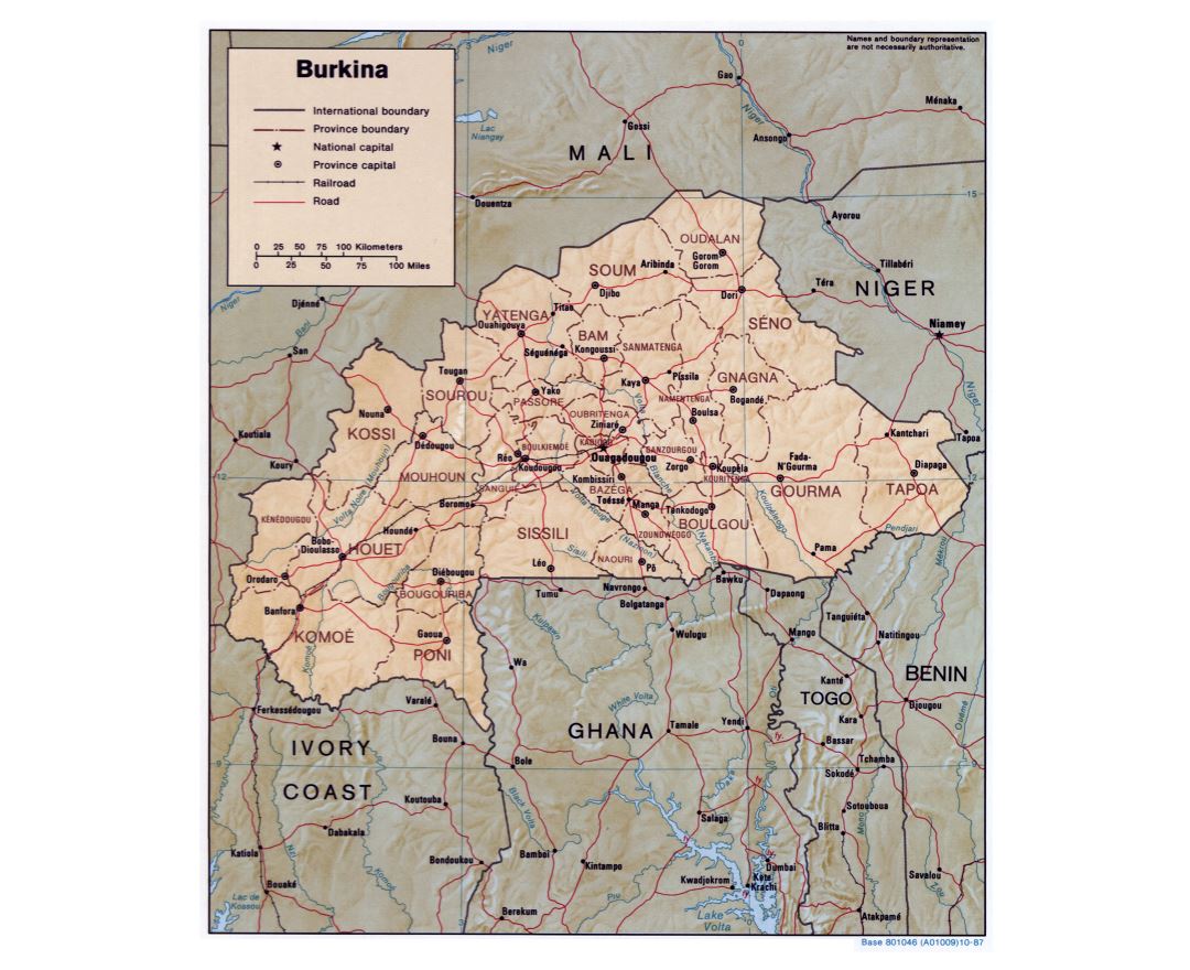
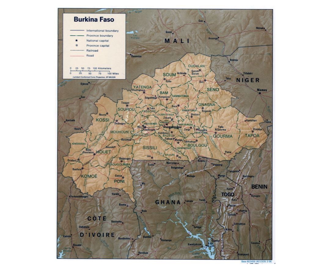
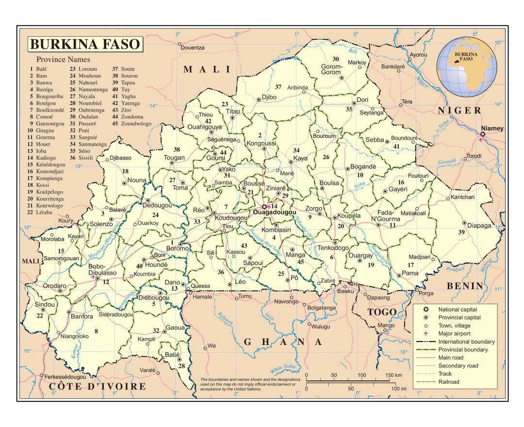
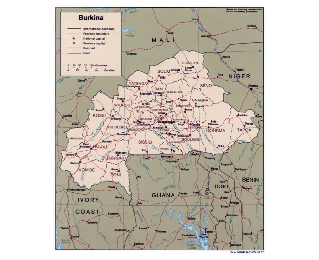
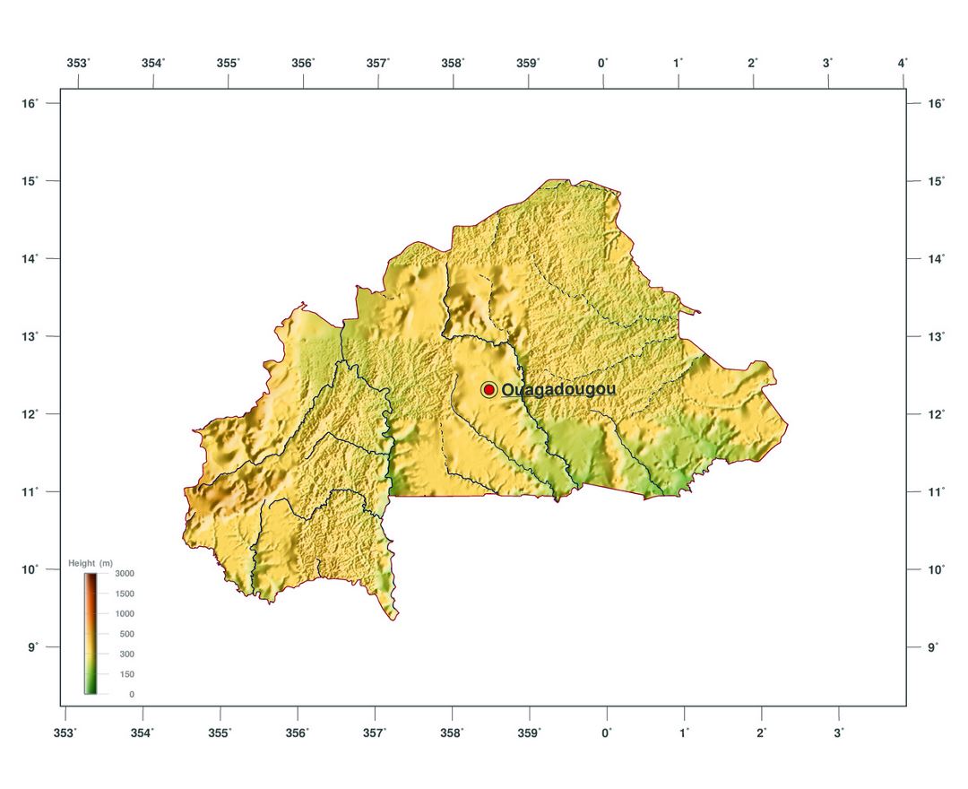
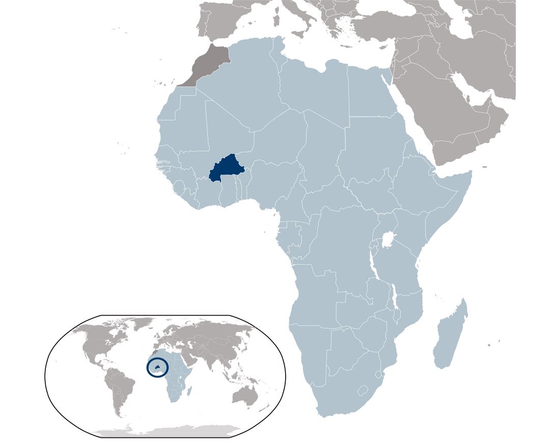
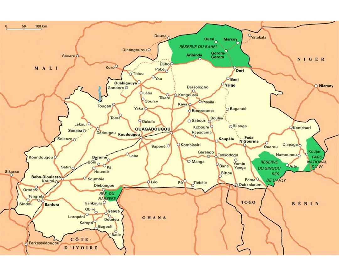
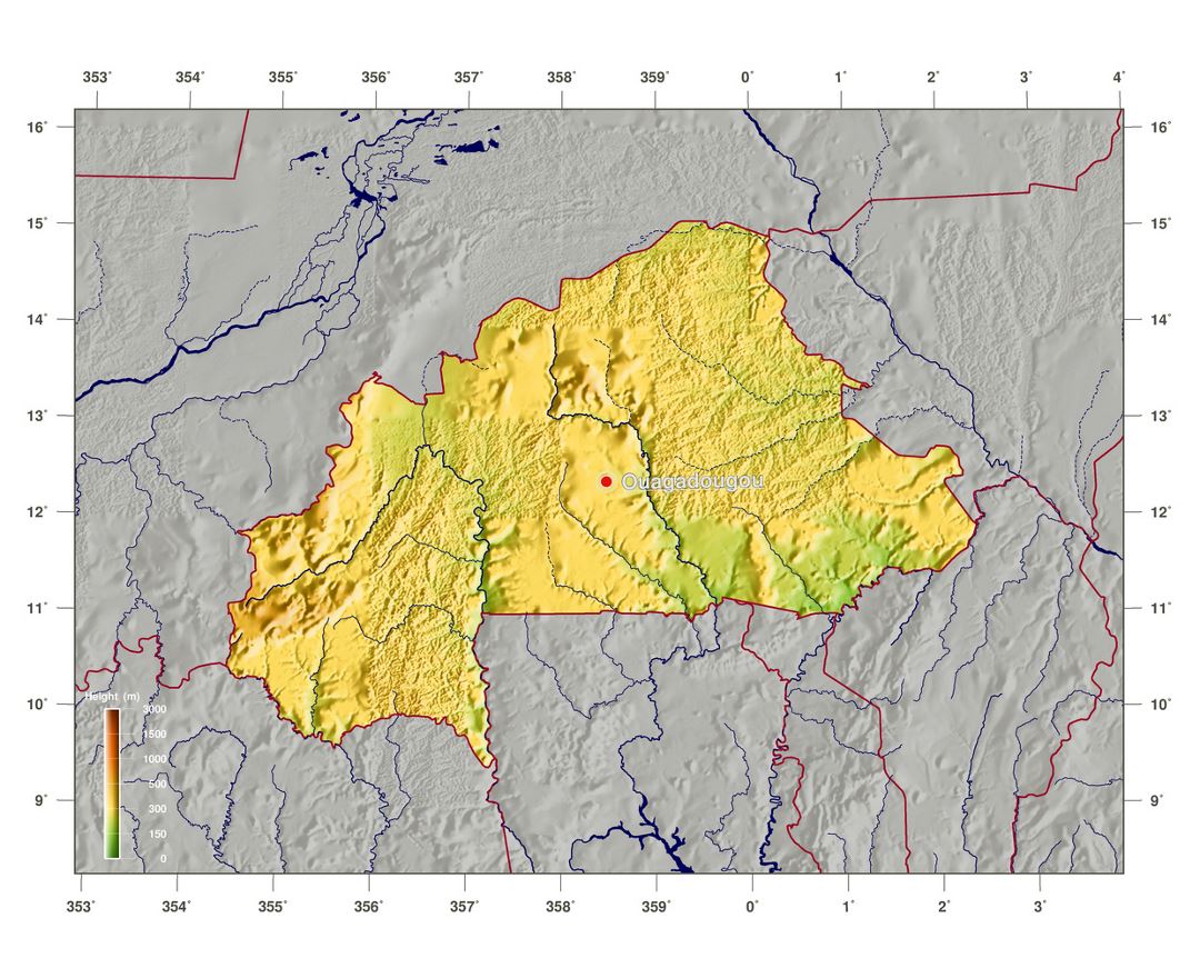
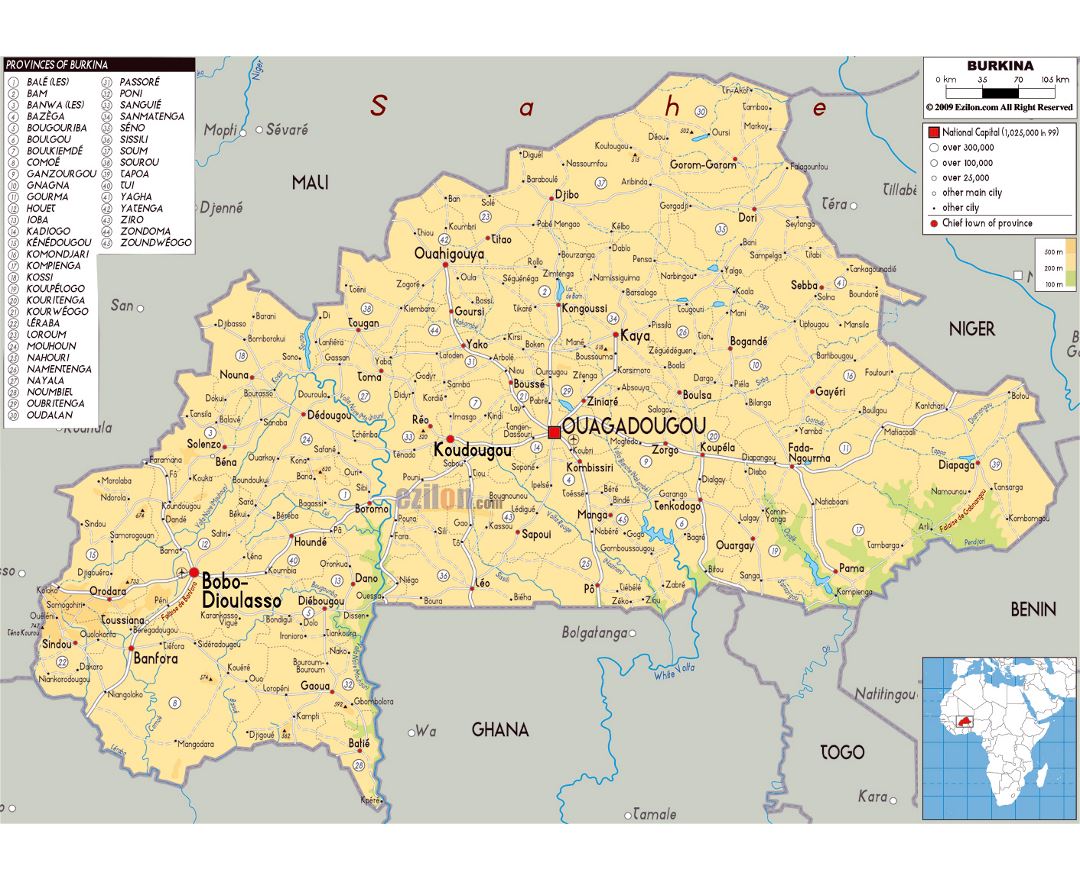
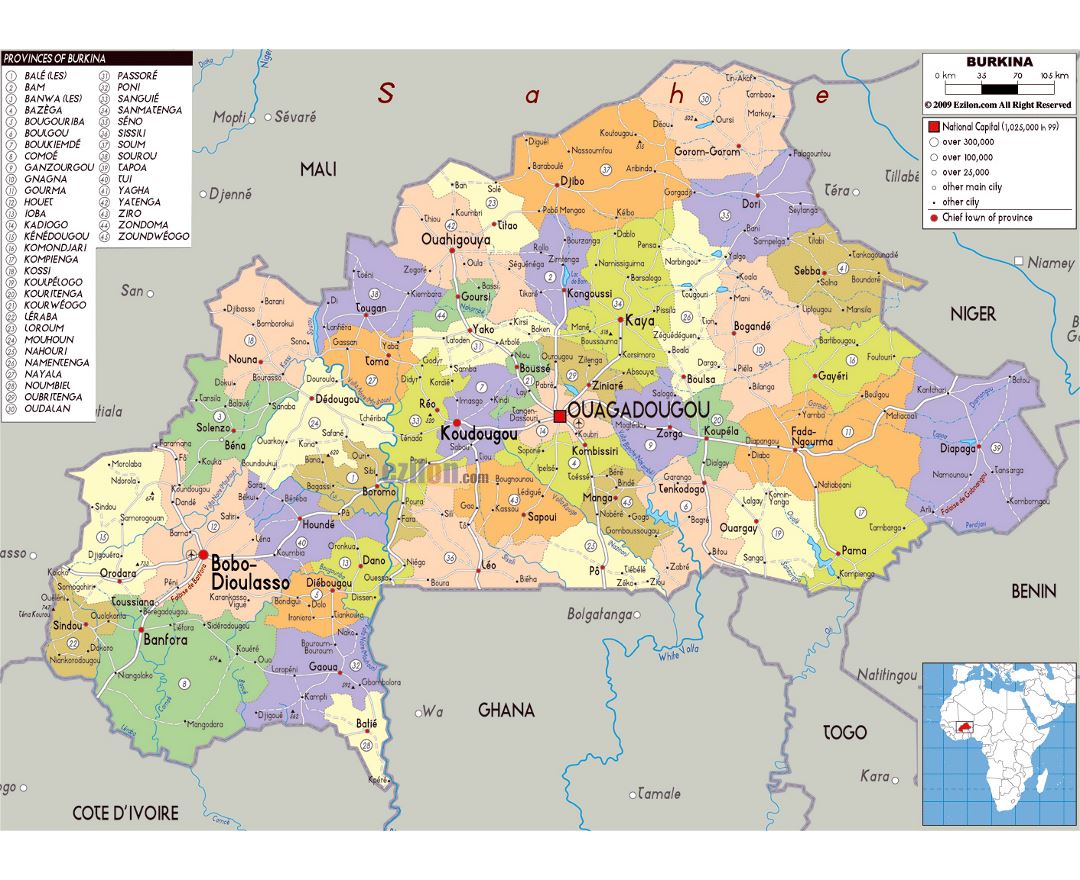
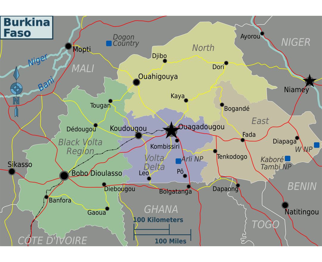
Burkina Faso is a landlocked country in West Africa around 274,200 square kilometres (105,900 sq mi) in size. It is surrounded by six countries: Mali to the north, Niger to the east, Benin to the southeast, Togo and Ghana to the south, and Ivory Coast to the southwest. Its capital is Ouagadougou. In 2014, its population was estimated at just over 17.3 million. Burkina Faso is a francophone country and French is an official language of government and business. Formerly called the Republic of Upper Volta, the country was renamed "Burkina Faso" on 4 August 1984 by then-President Thomas Sankara. Residents of Burkina Faso are known as Burkinabe.
Before the conquest of what is now Burkina Faso by the French and other colonial powers during the late 19th century the country was ruled by various ethnic groups including the Mossi kingdoms. After gaining independence from France in 1960, the country underwent many governmental changes. Blaise Compaore was the most recent president and ruled the country from 1987 until he was ousted from power by the popular youth upheaval of 31 October 2014. This resulted in a semi-presidential republic which lasted from October 2014 to September 2015. On 17 September 2015 the provisional government was in turn toppled by an apparent military coup d'etat carried out by the Regiment of Presidential Security. On 24 September 2015, after pressure from the African Union, ECOWAS, and the armed forces, the military junta agreed to step down, and Michel Kafando was reinstated as Acting President.