South Ossetia
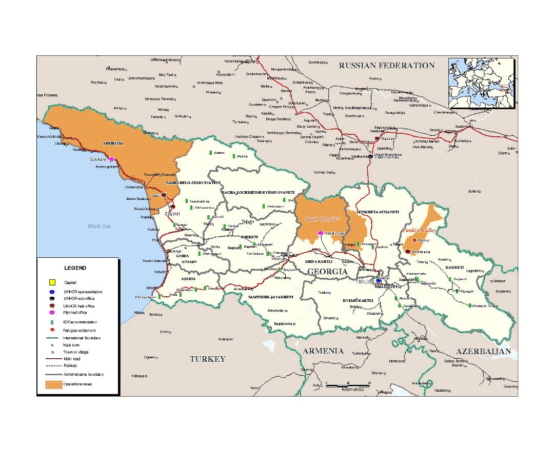
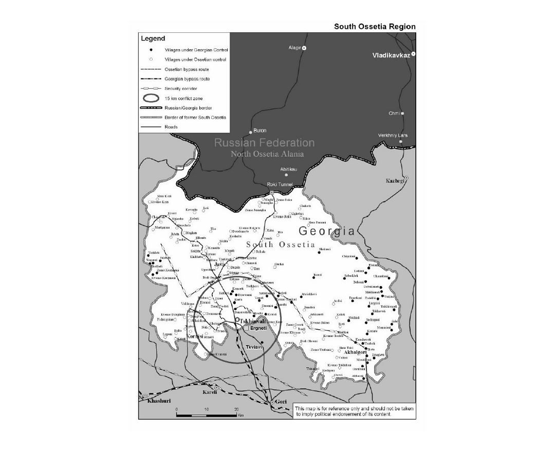
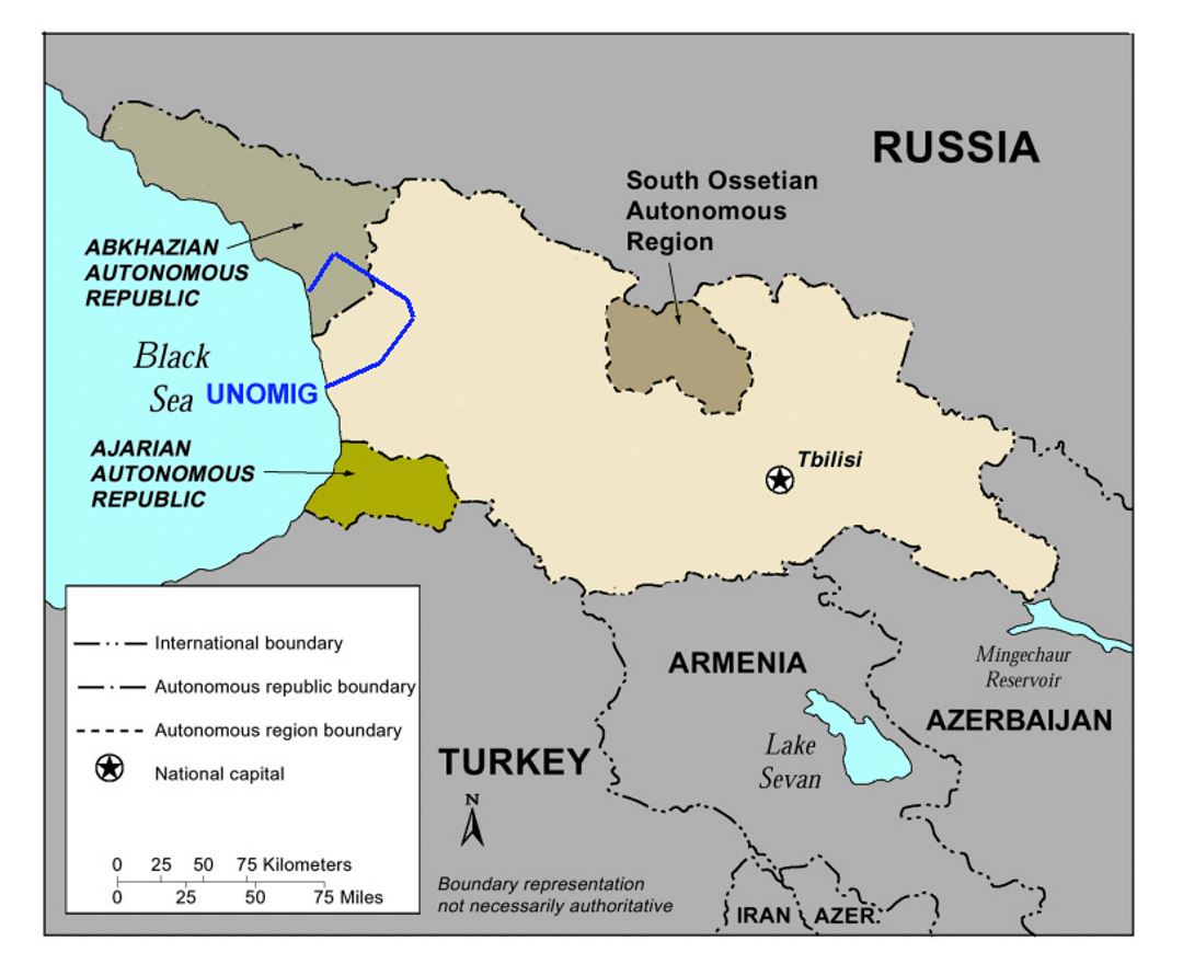
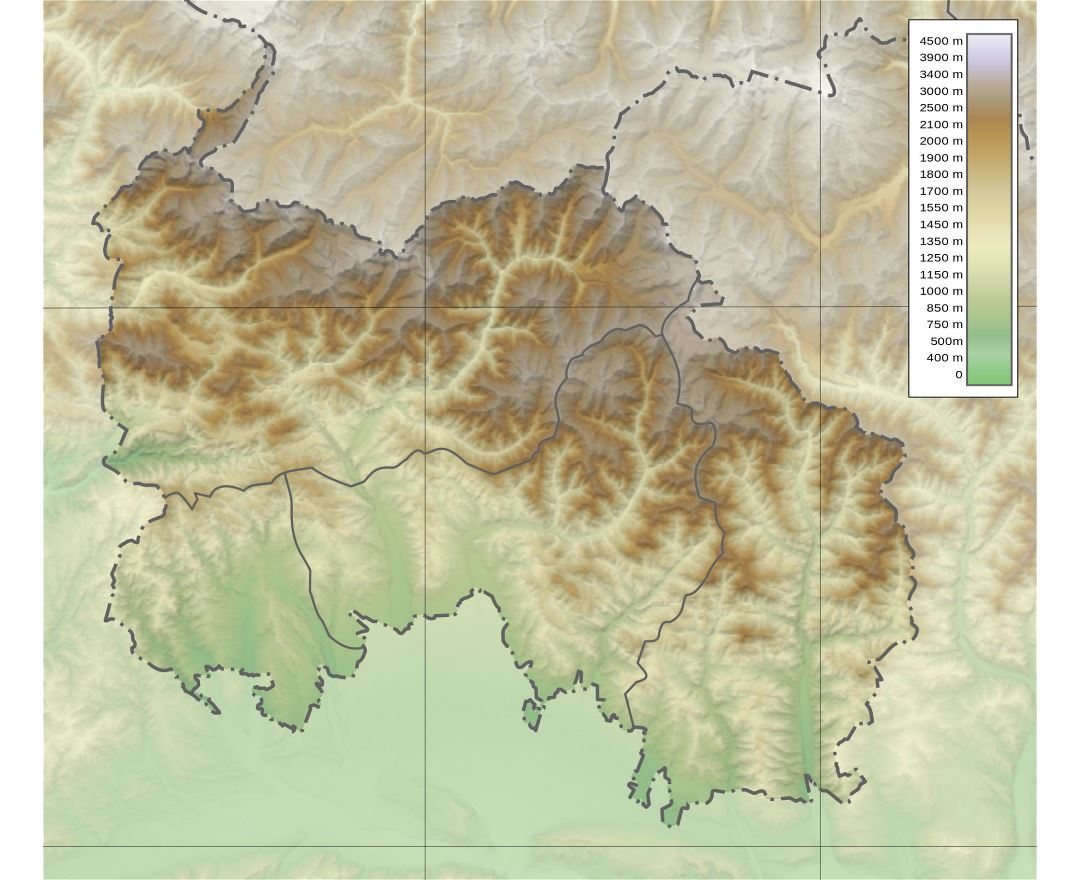
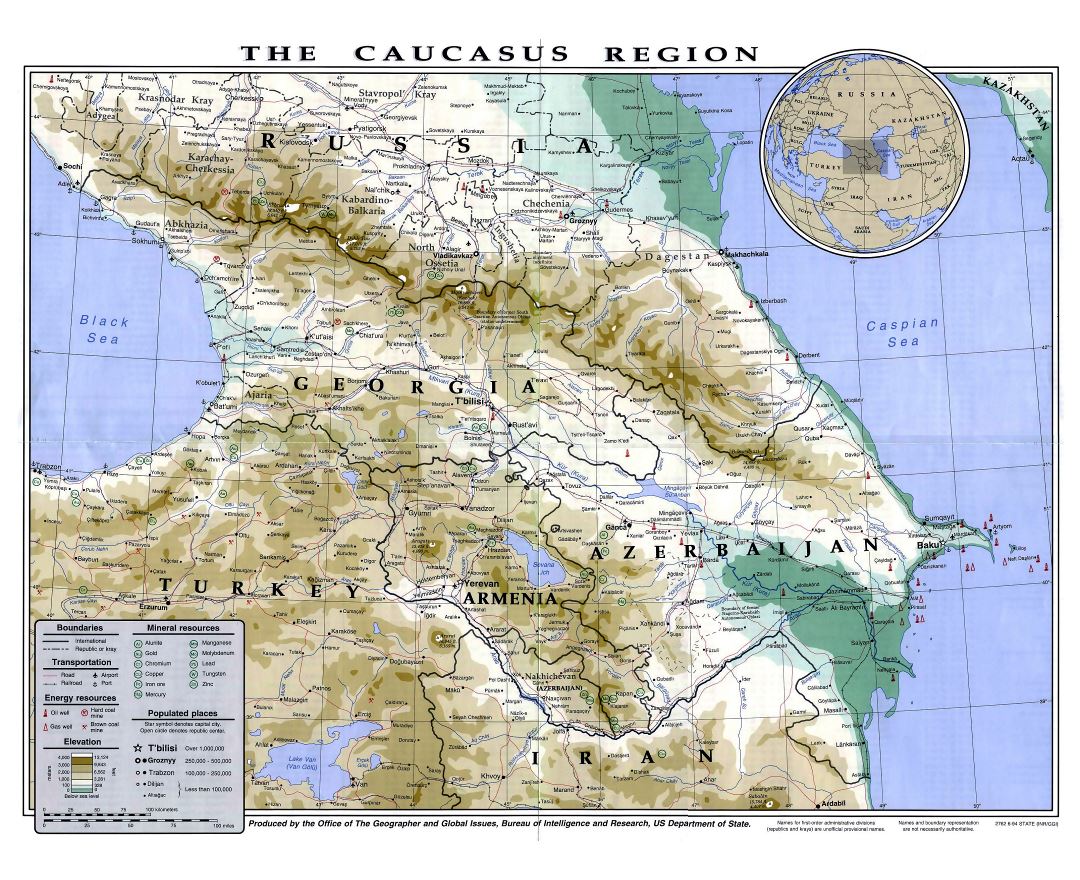
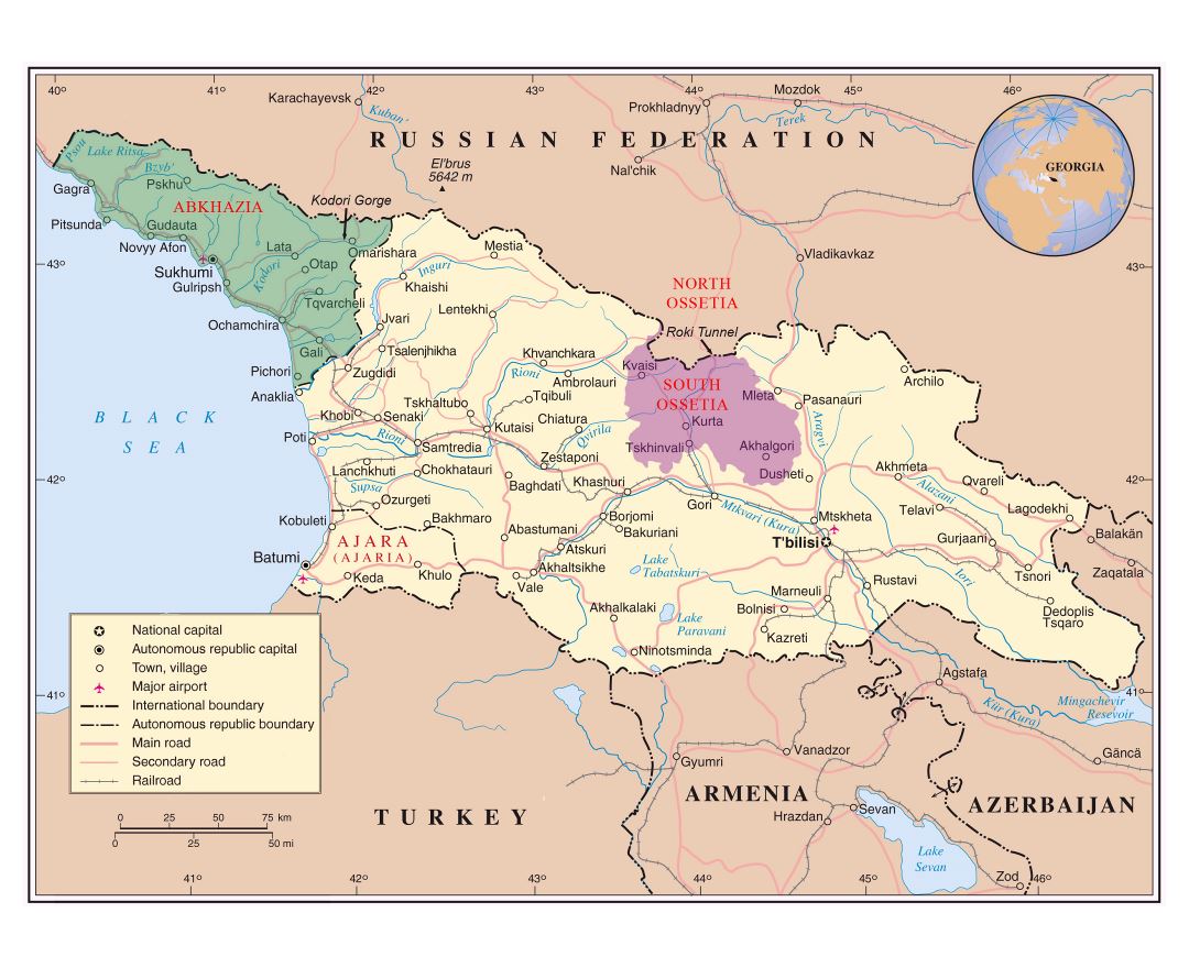
South Ossetia, also known as the Tskhinvali Region, is a partially recognised state in the South Caucasus, located in the territory of the South Ossetian Autonomous Oblast within the former Georgian SSR. It has a population of 53,000 people who live in an area of 3,900 km², south of the Russian Caucasus, with 30,000 living in its capital city of Tskhinvali.
South Ossetia declared independence from the Georgian Soviet Socialist Republic in 1991. The Georgian government responded by abolishing South Ossetia's autonomy and trying to re-establish its control over the region by force. The crisis escalation led to the 1991 - 92 South Ossetia War. Georgian fighting against those controlling South Ossetia occurred on two other occasions, in 2004 and 2008. The latter conflict led to the Russo–Georgian War, during which Ossetian and Russian forces gained full de facto control of the territory of the former South Ossetian Autonomous Oblast.
In the wake of the 2008 war, Russia, followed by Nicaragua, Venezuela, and Nauru recognised South Ossetia's independence. Georgia does not recognise the existence of South Ossetia as a political entity, including most of the area in its Shida Kartli region, under the administration of the Provisional Administrative Entity of South Ossetia. Georgia and a significant part of the international community consider South Ossetia to be occupied by the Russian military. South Ossetia relies heavily on military, political and financial aid from Russia. Russia does not allow European Union Monitoring Mission monitors to enter South Ossetia.
South Ossetia, Transnistria, Nagorno-Karabakh, and Abkhazia are sometimes referred to as post-Soviet "frozen conflict" zones.