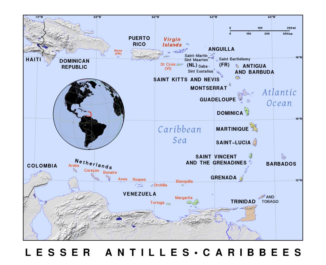
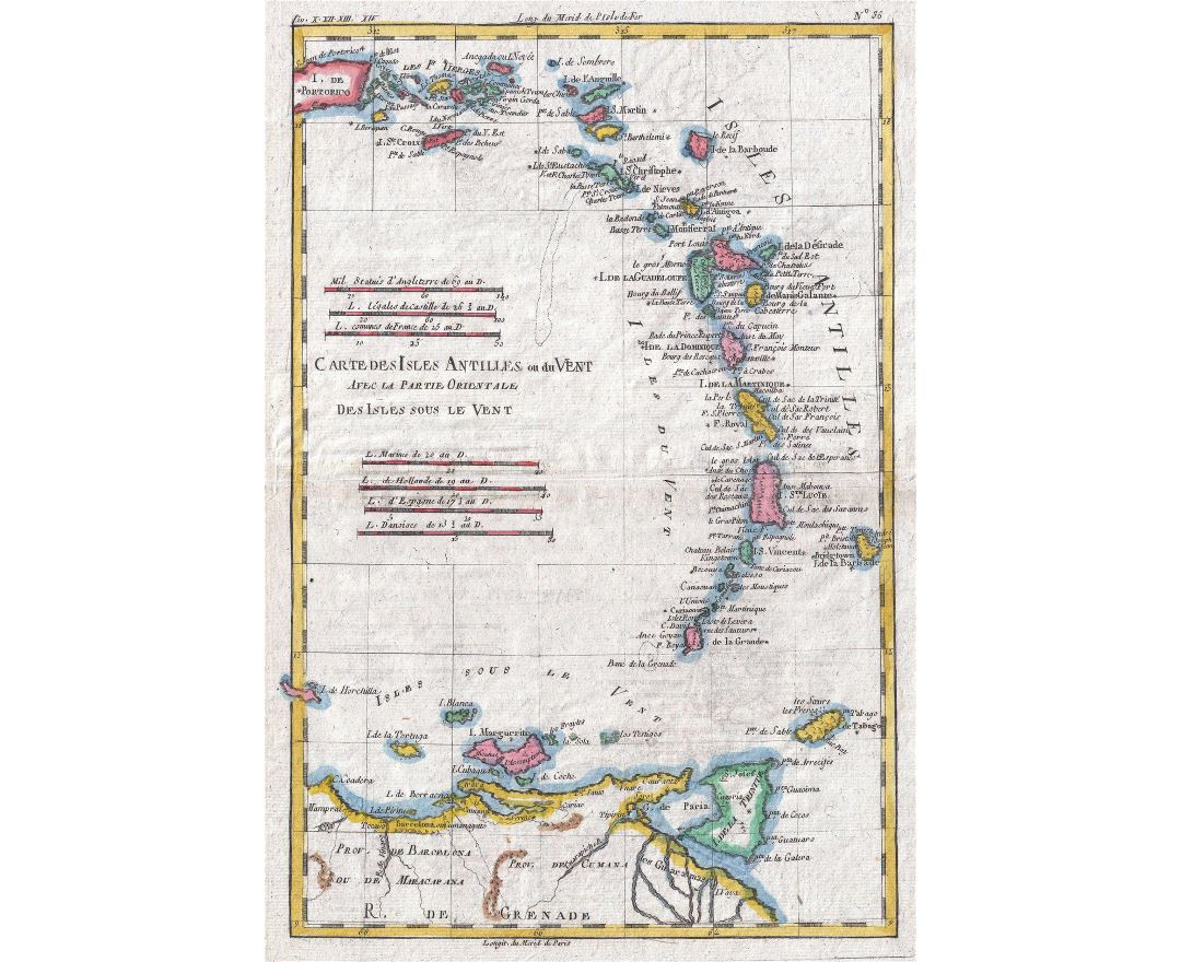
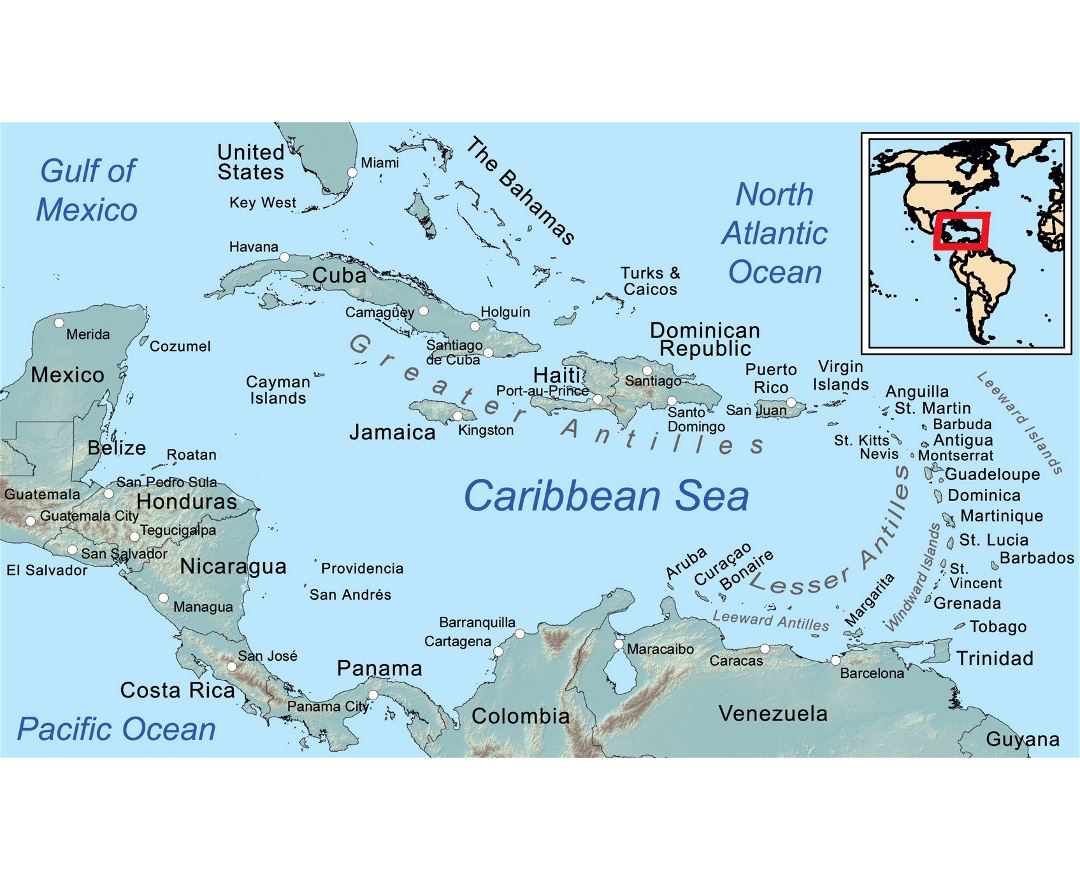
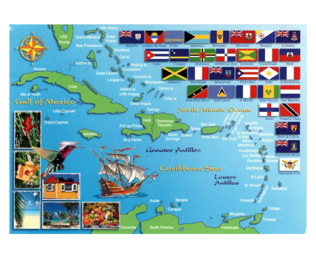
Lesser Antilles
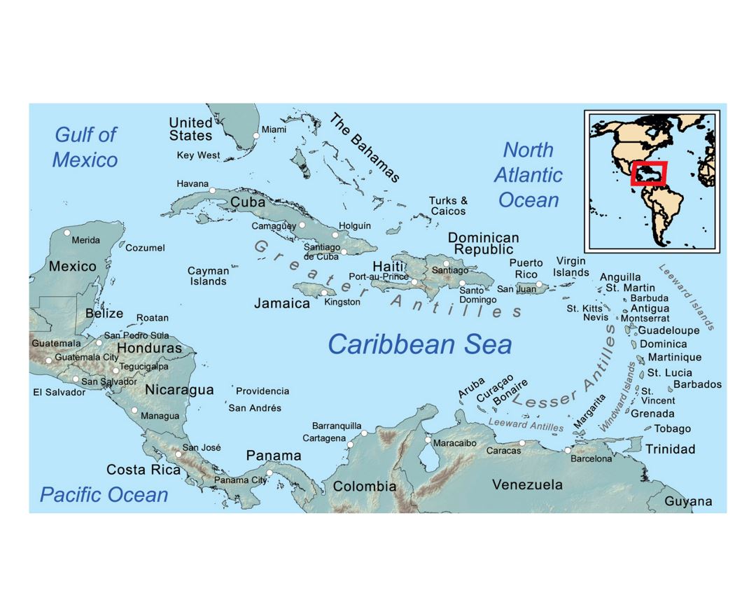
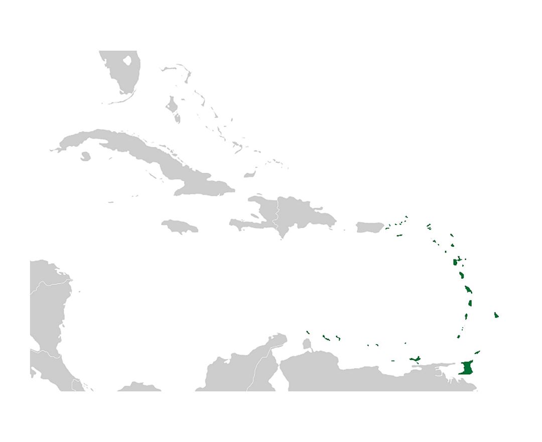
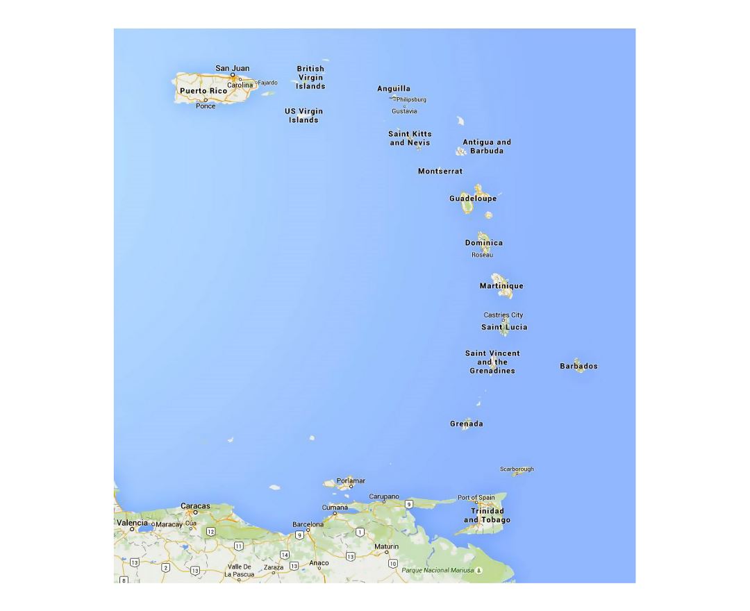
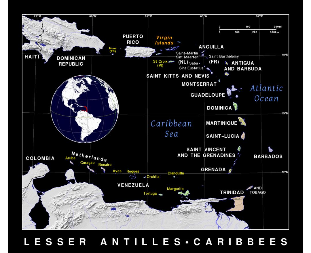
The Lesser Antilles (also known as the Caribbees) are a group of islands in the Caribbean Sea. Most form a long, partly volcanic island arc between the Greater Antilles to the north-west and the continent of South America. The islands form the eastern boundary of the Caribbean Sea with the Atlantic Ocean. Together, the Lesser Antilles and the Greater Antilles compose the Antilles (or the Caribbean in its narrowest definition). When combined with the Lucayan Archipelago, all three are known as the West Indies.