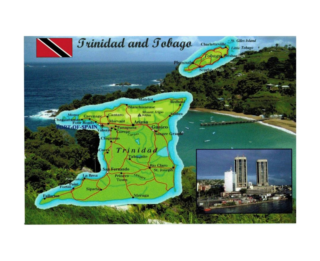
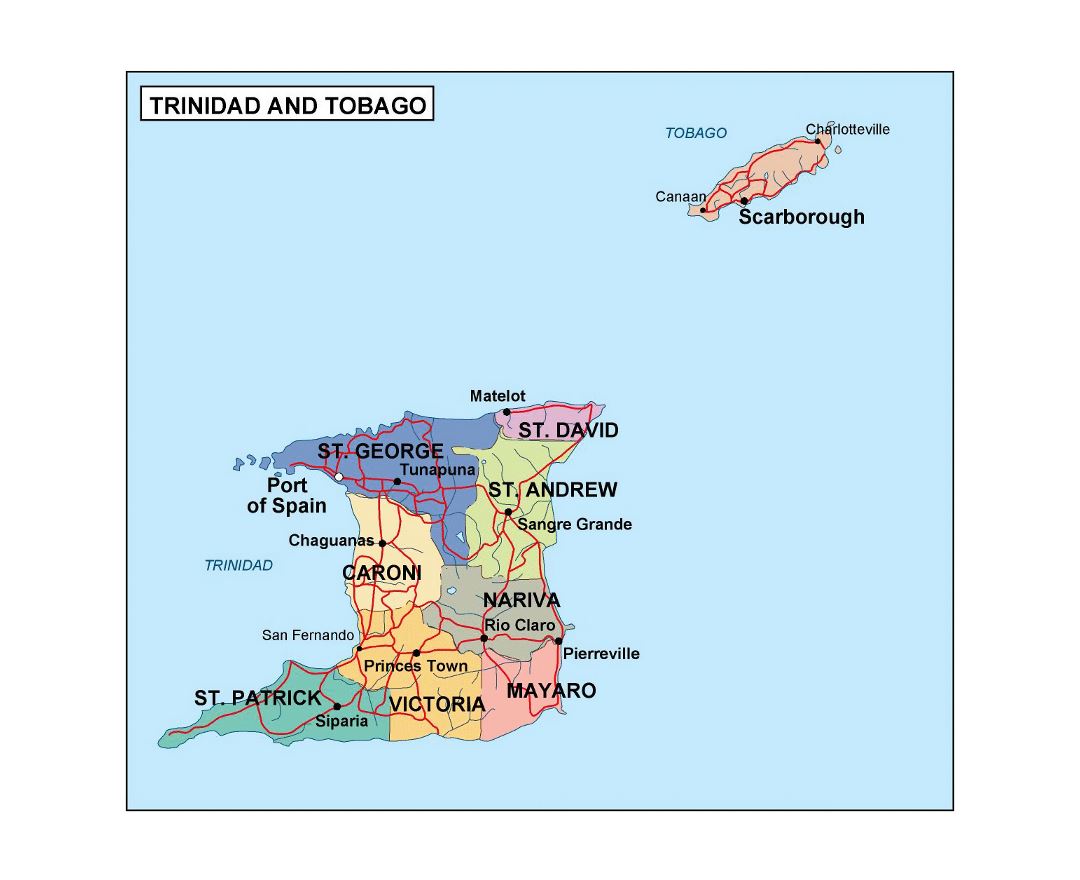
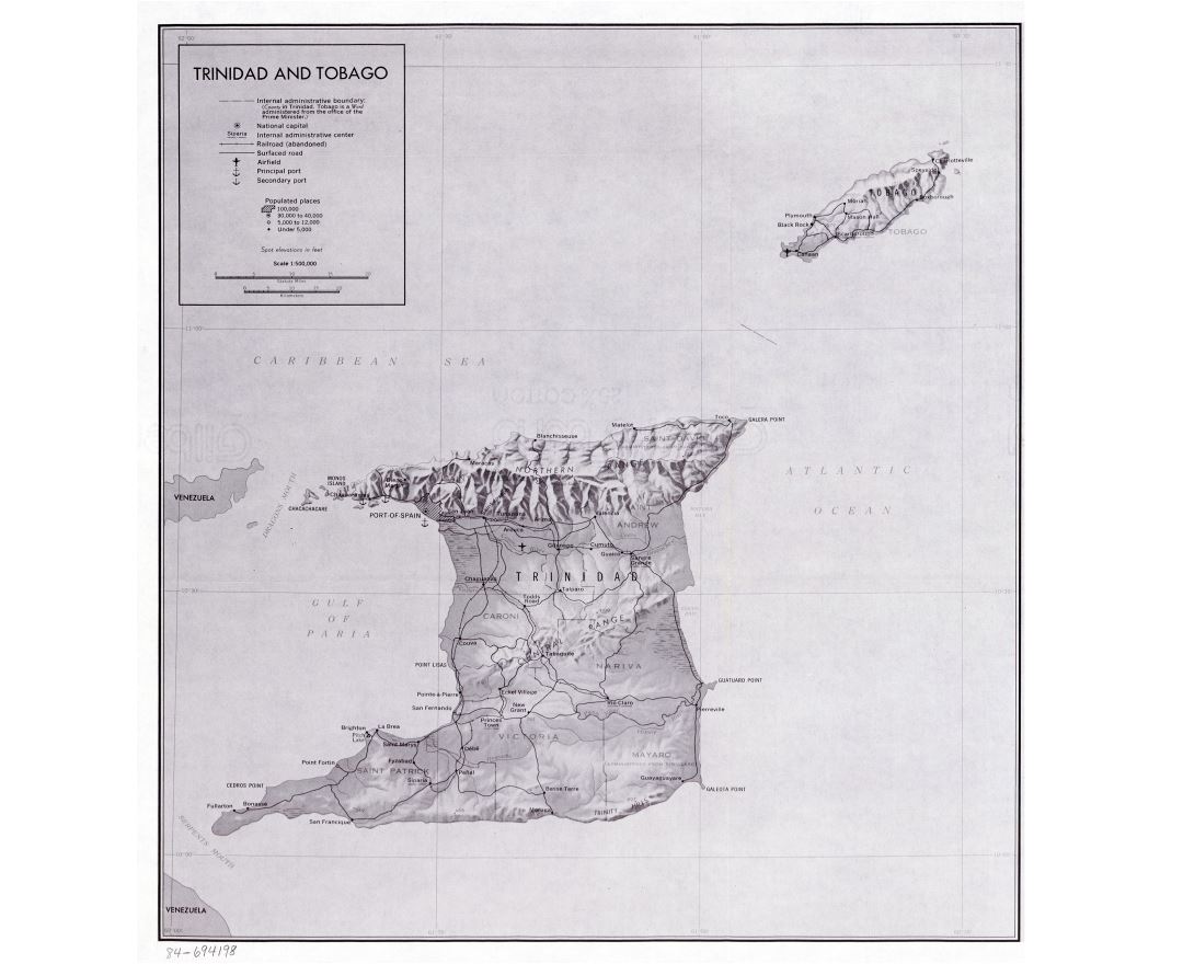
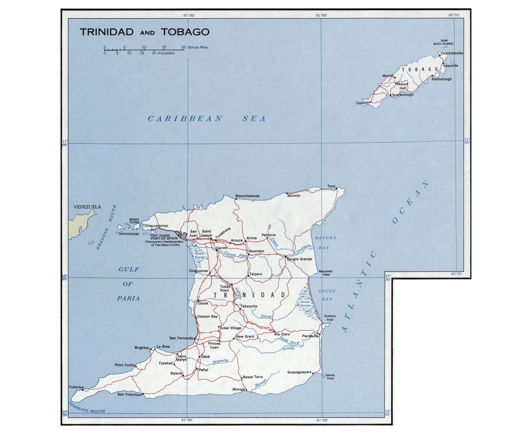
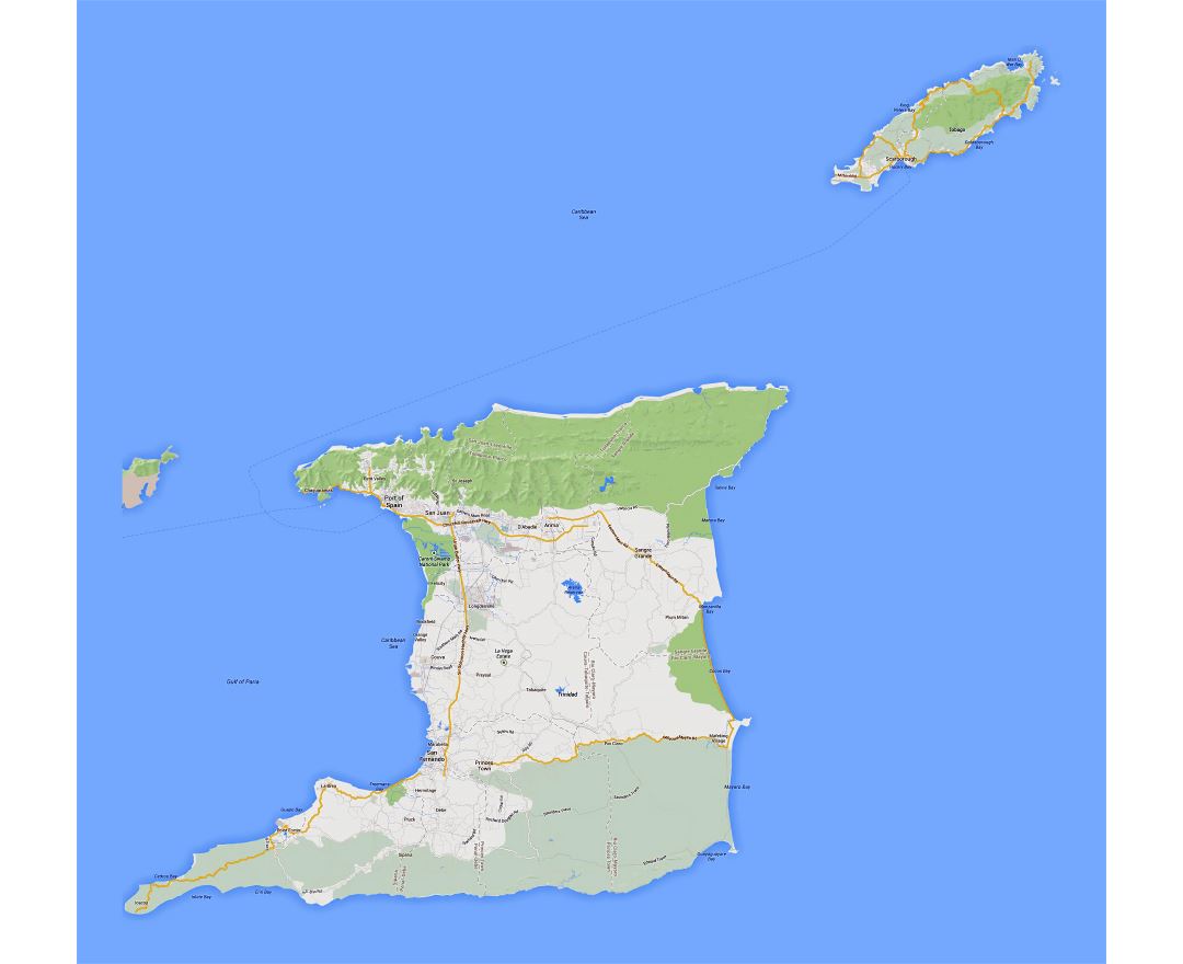
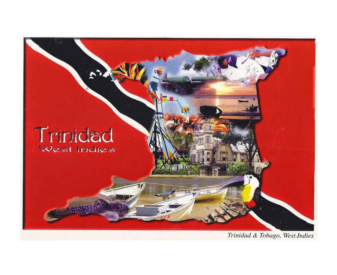
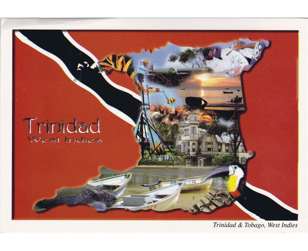
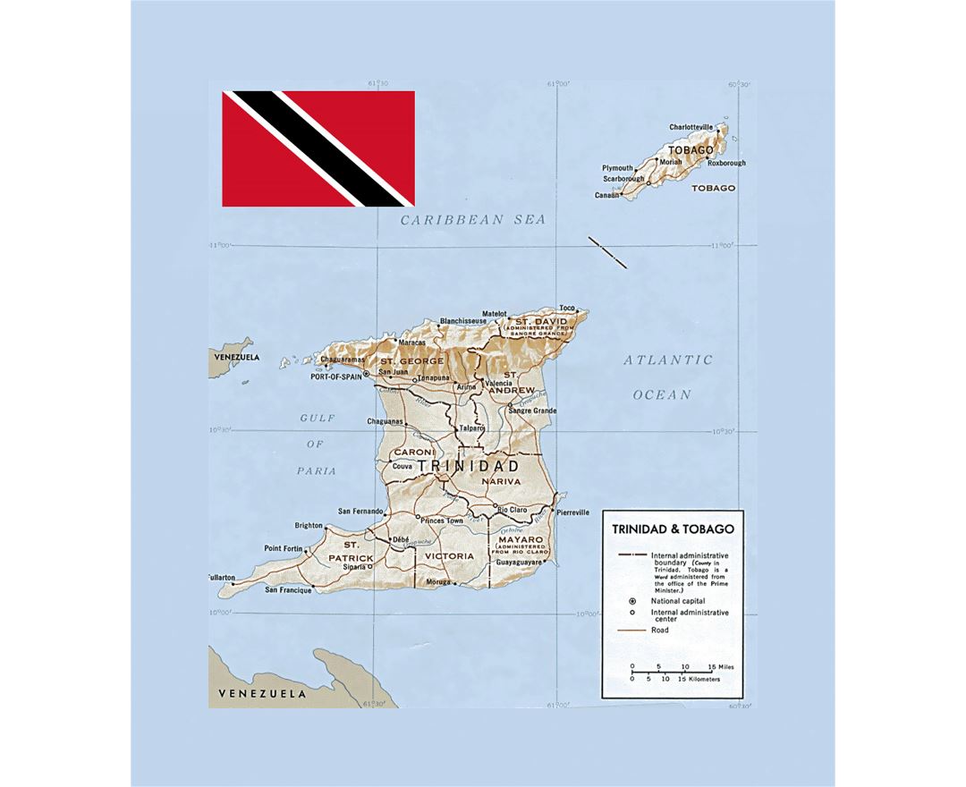
Trinidad and Tobago
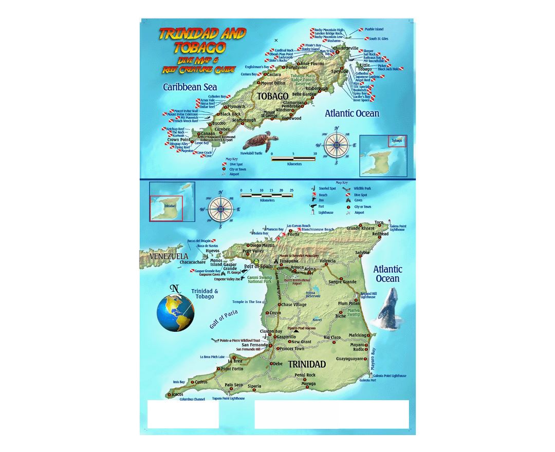
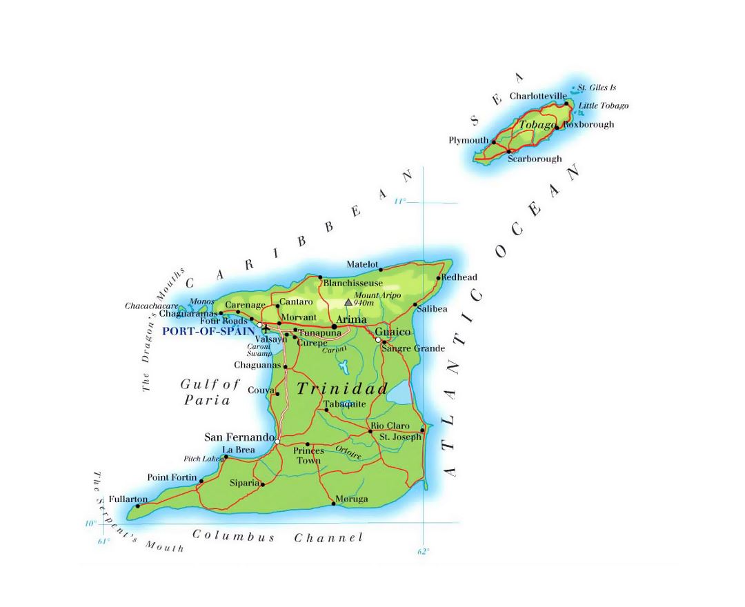
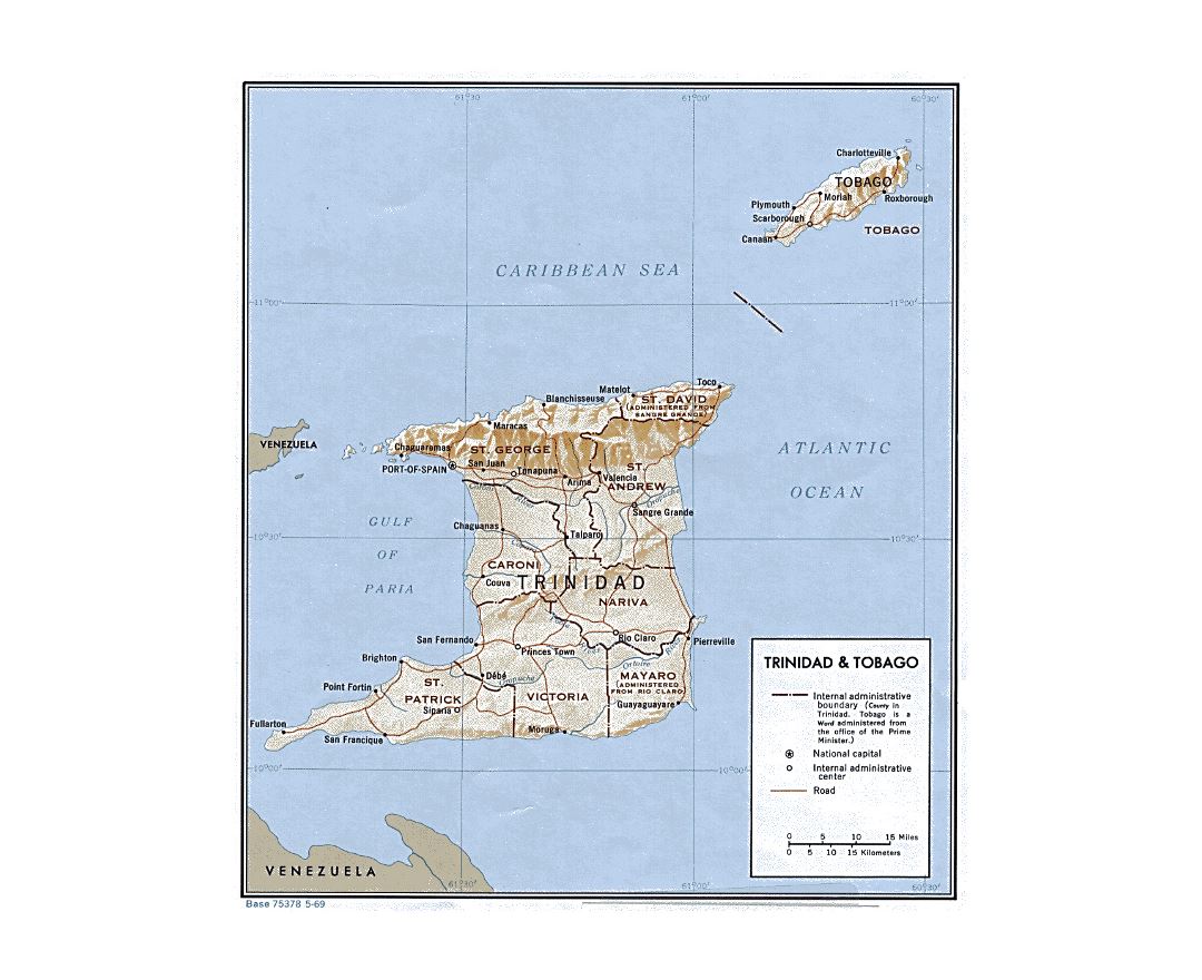
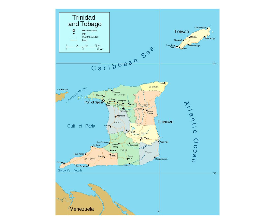
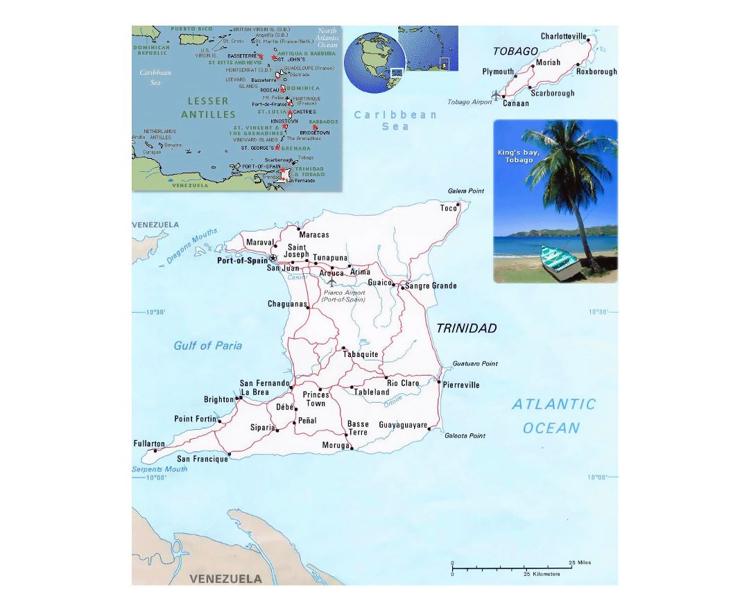
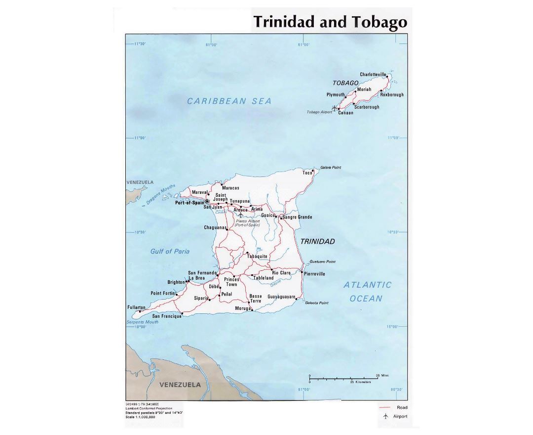
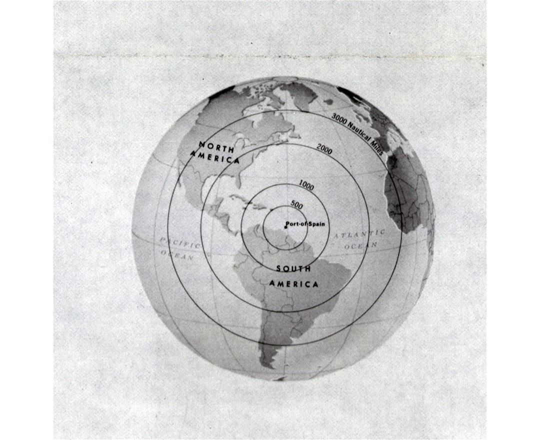
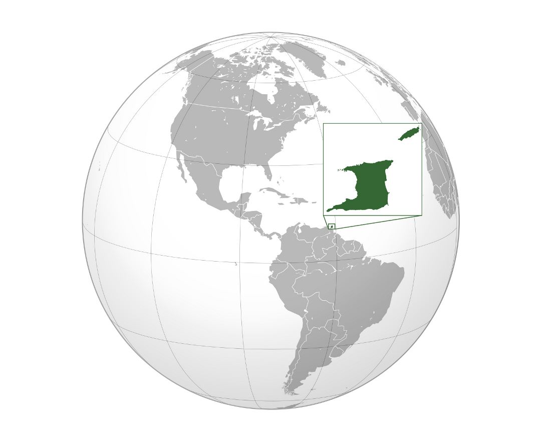
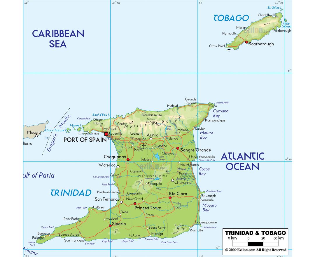
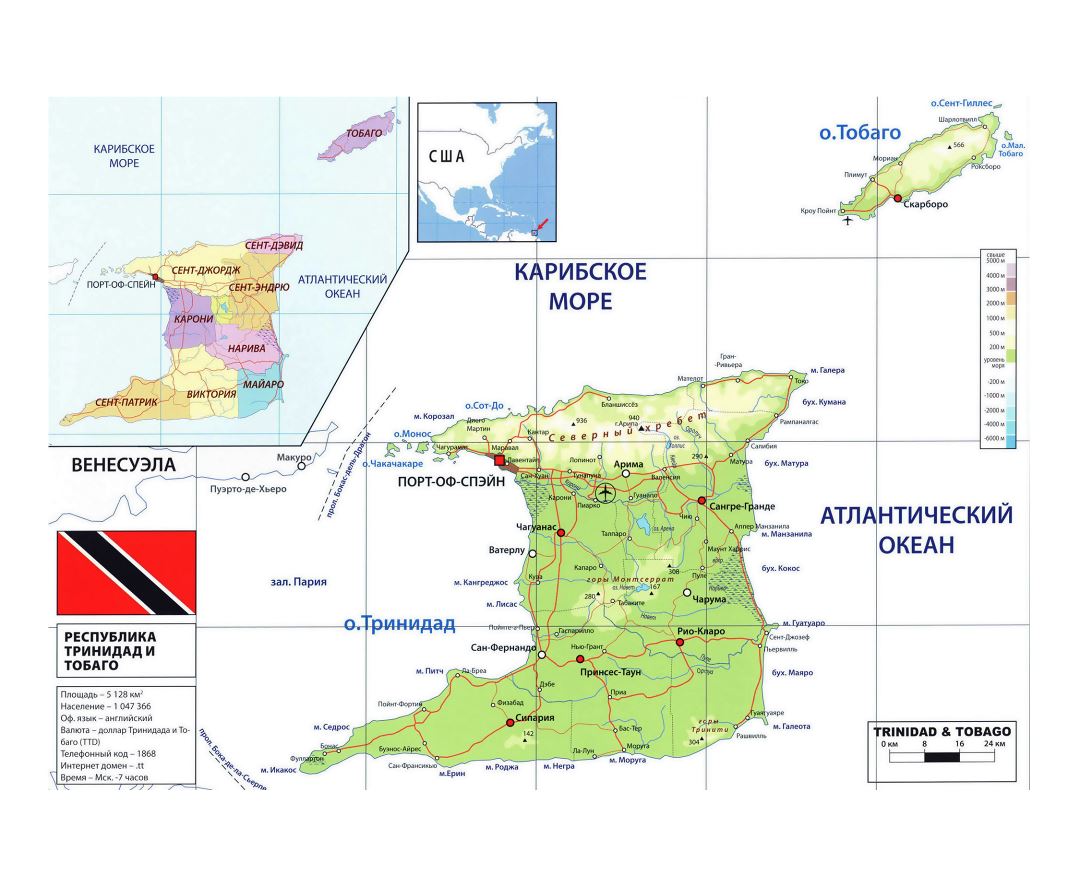
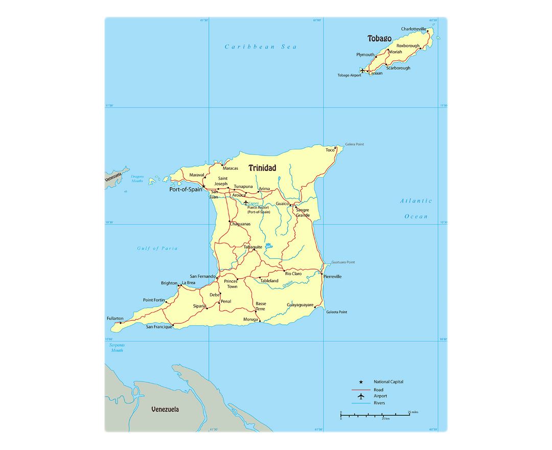
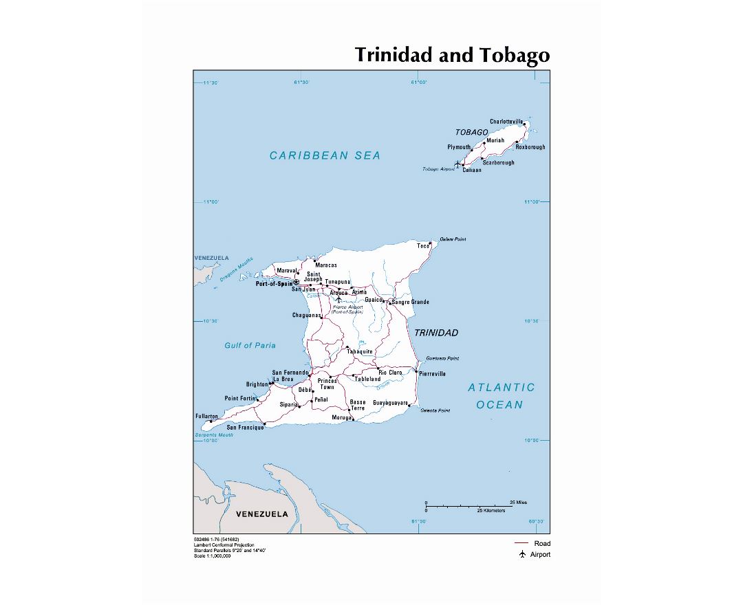
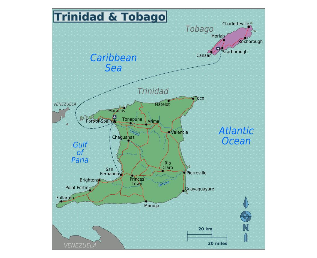
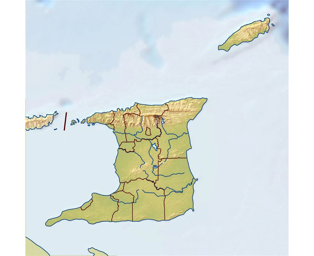
Trinidad and Tobago, officially the Republic of Trinidad and Tobago, is a twin island country that is the southernmost nation in the Caribbean. It is situated 130 kilometres (81 miles) south of Grenada off the northern edge of the South American mainland, 11 kilometres (6.8 miles) off the coast of northeastern Venezuela. It shares maritime boundaries with Barbados to the northeast, Grenada to the northwest, Guyana to the southeast, and Venezuela to the south and west.
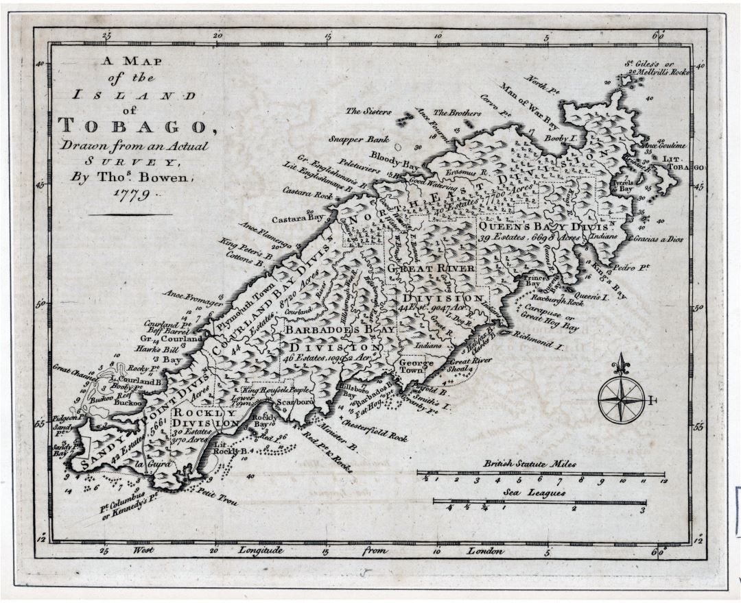
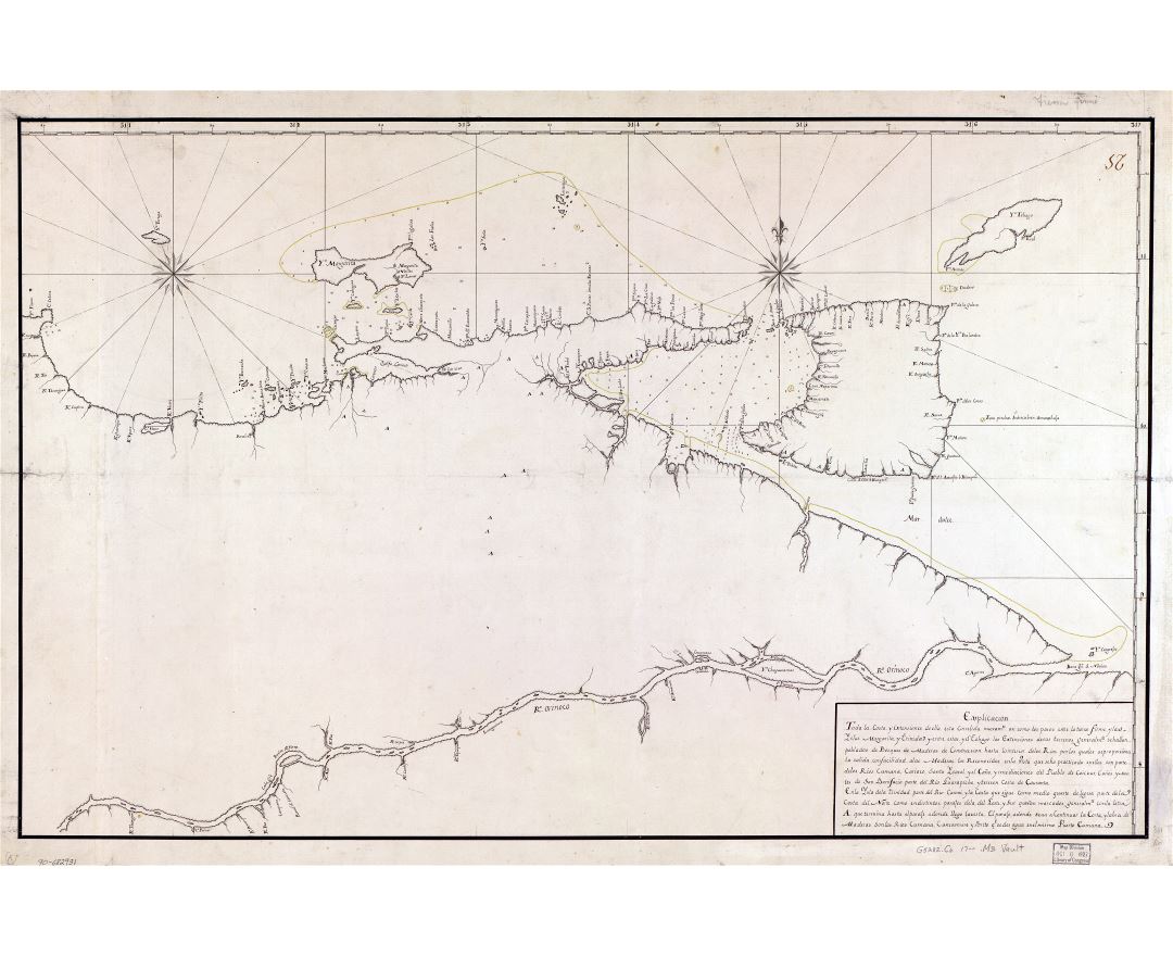
The island of Trinidad was a Spanish colony from the arrival of Christopher Columbus in 1498 until Spanish governor Don Jose Maria Chacón surrendered the island to a British fleet under the command of Sir Ralph Abercromby in 1797. During the same period, the island of Tobago changed hands among Spanish, British, French, Dutch and Courlander colonizers more times than any other island in the Caribbean. Trinidad and Tobago were ceded to Britain in 1802 under the Treaty of Amiens as separate states and unified in 1889. Trinidad and Tobago obtained independence in 1962 and became a republic in 1976.
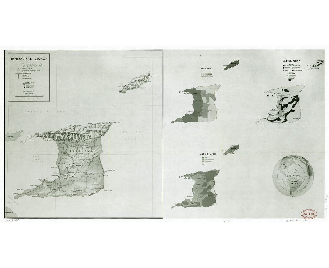
As of 2015, Trinidad and Tobago had the third highest GDP per capita based on purchasing power parity (PPP) in the Americas after the United States and Canada. It is recognised by the World Bank as a high-income economy. Unlike most of the English-speaking Caribbean, the country's economy is primarily industrial with an emphasis on petroleum and petrochemicals. The country's wealth is attributed to its large reserves and exploitation of oil and natural gas.
Trinidad and Tobago is known for its Carnival celebration and as the birthplace of steelpan drums, the limbo, and music styles such as calypso, soca, parang, chutney, cariso, extempo, kaiso, pichakaree, and rapso. It is also famous for its Indo-Caribbean cuisine, for example the curry chickpea flatbread sandwiches known as doubles.