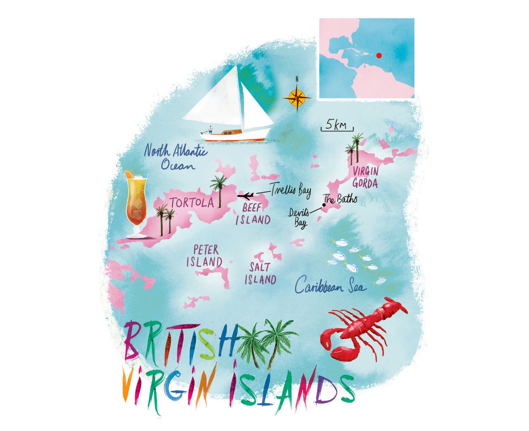
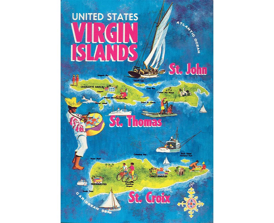
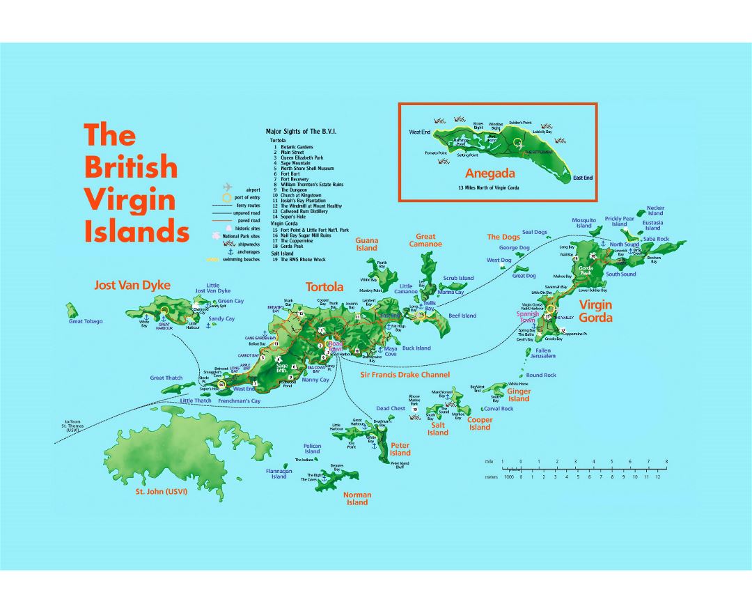
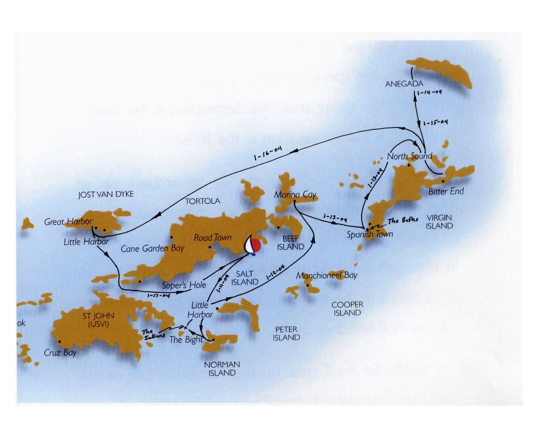
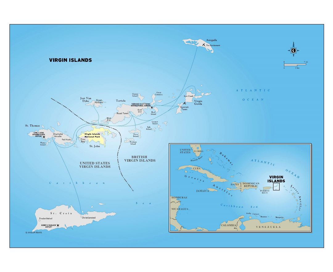
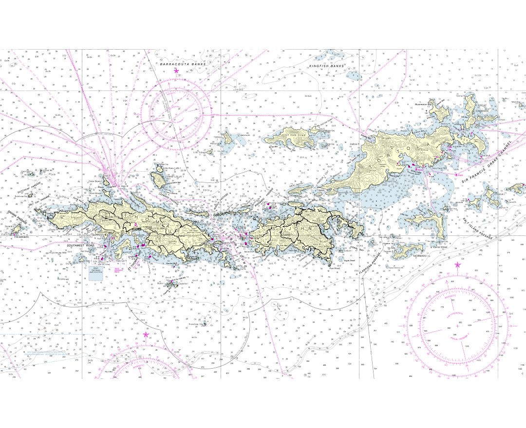
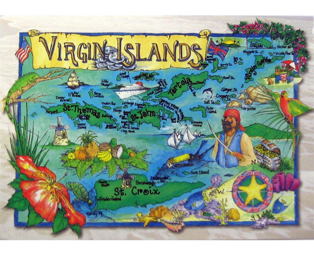
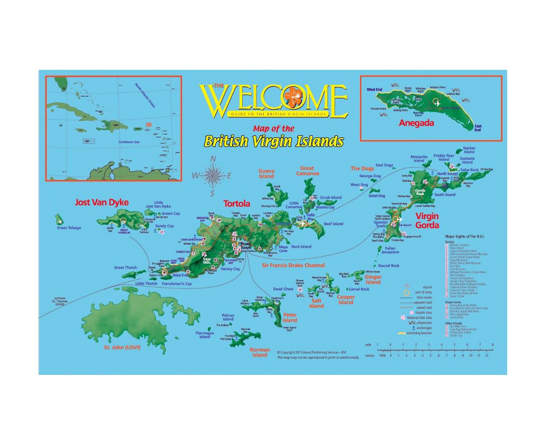
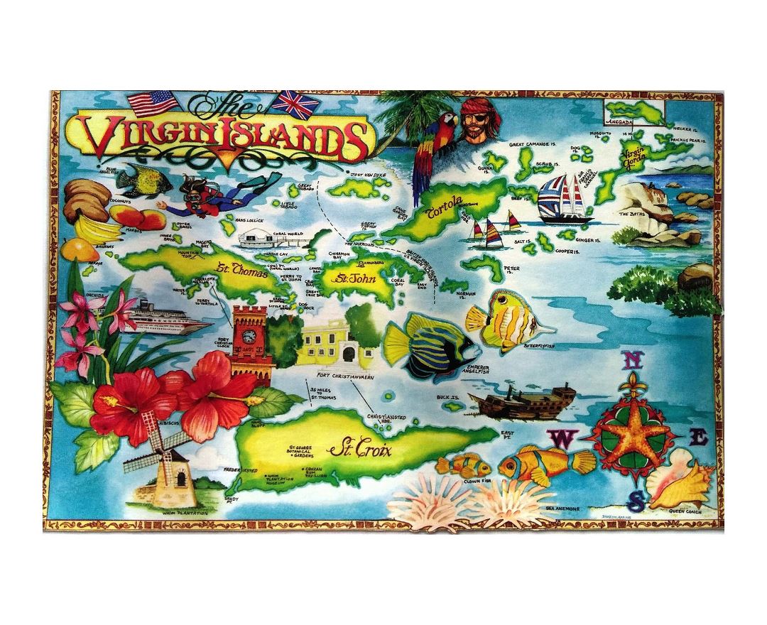
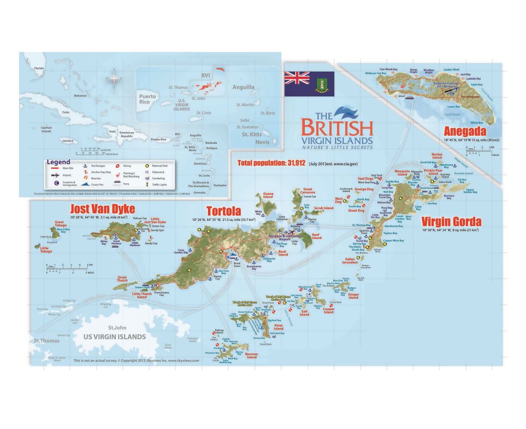
British Virgin Islands
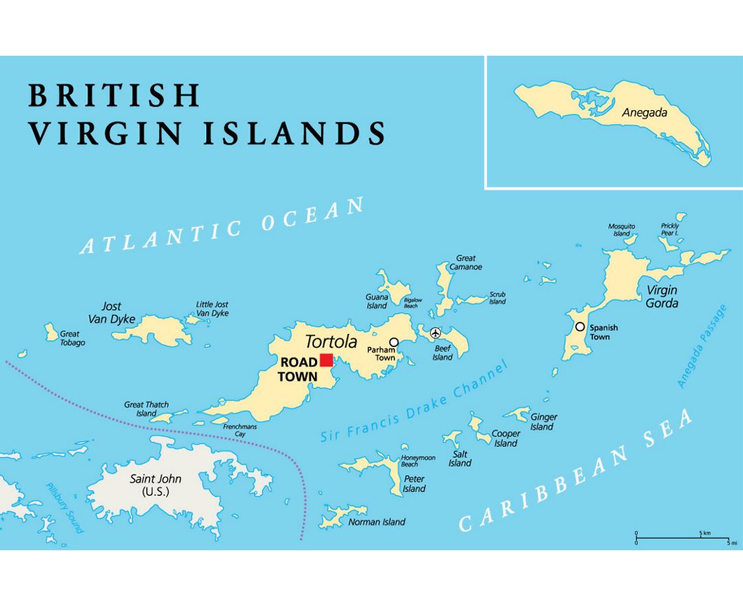
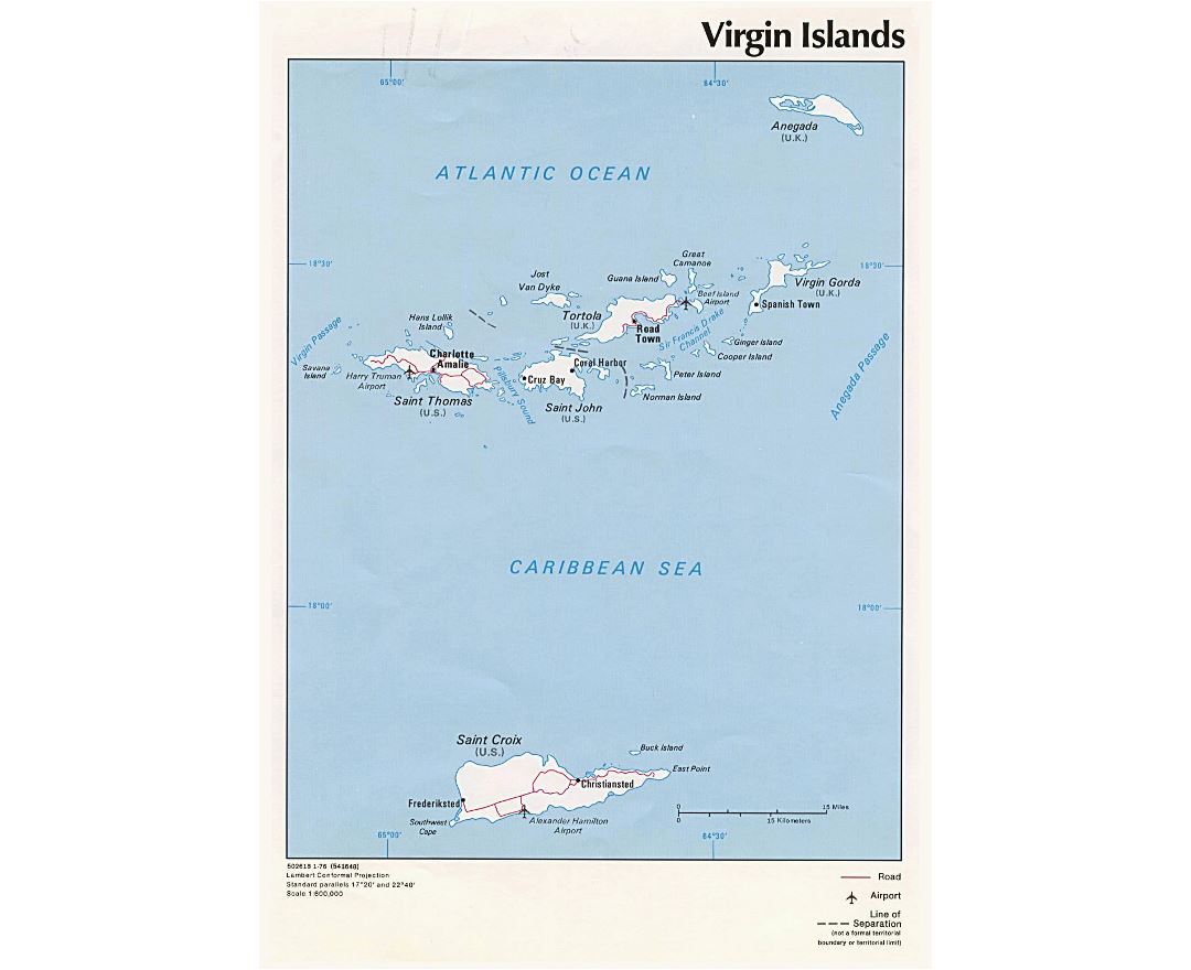
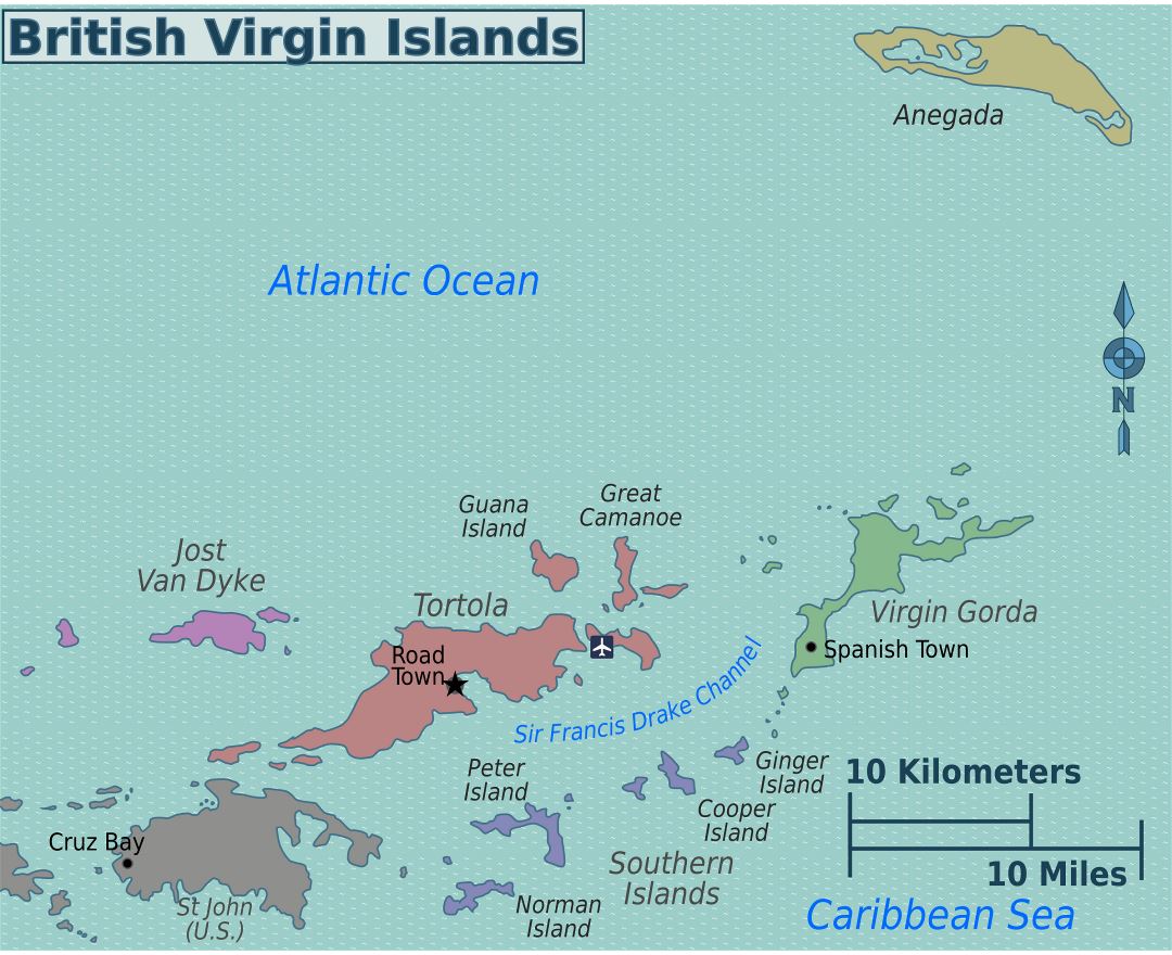
The British Virgin Islands (BVI), officially the Virgin Islands, are a British overseas territory located in the Caribbean to the east of Puerto Rico. The islands make up part of the Virgin Islands archipelago, the remaining islands constitute the US Virgin Islands and the Spanish Virgin Islands.
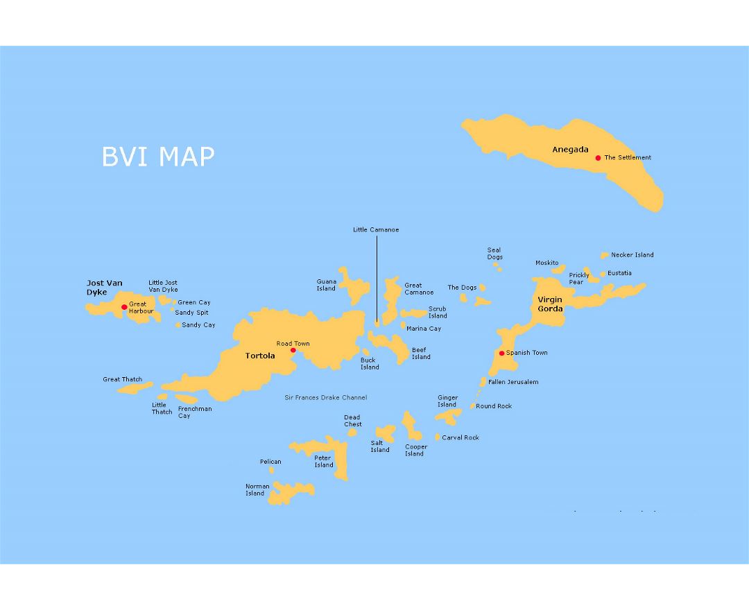
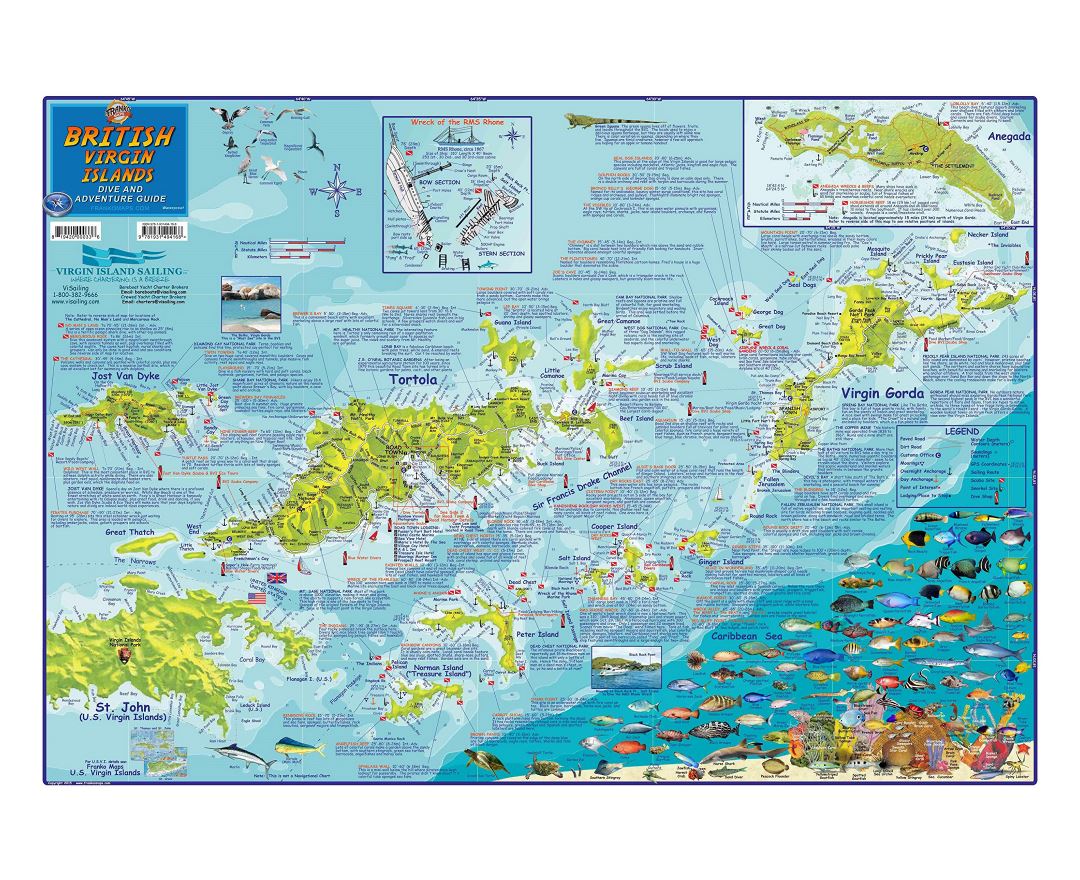
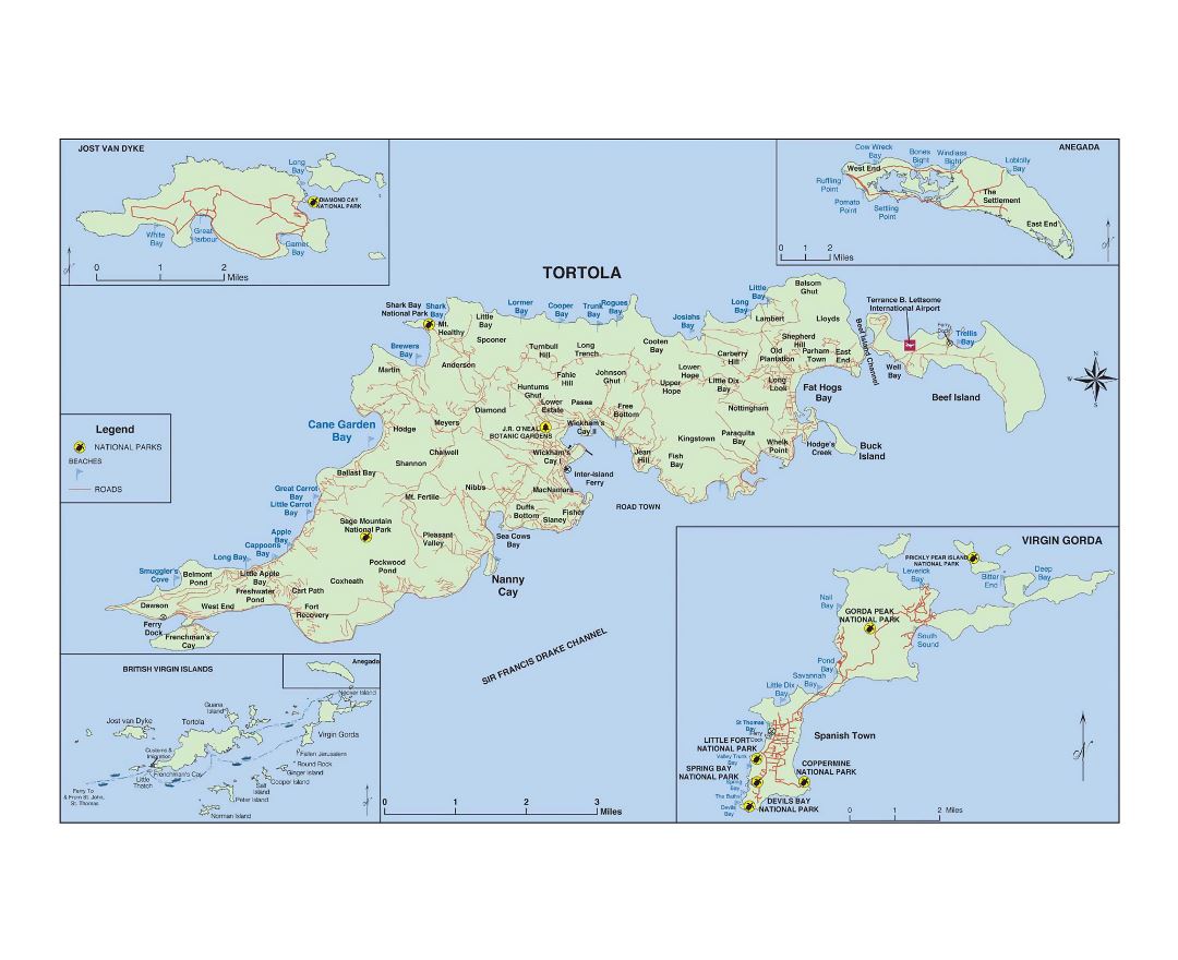
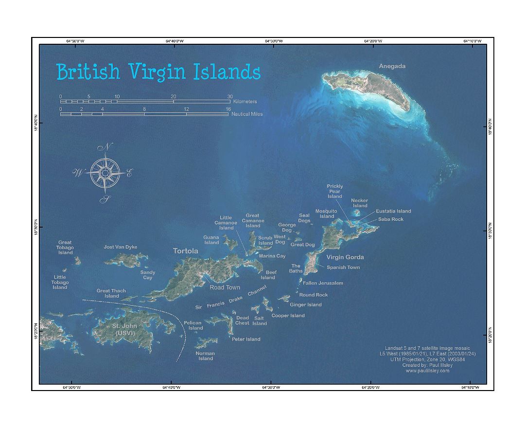
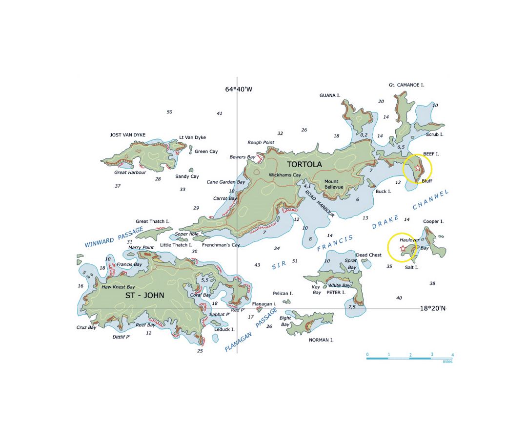
The 150-square-kilometre (58-square-mile) British Virgin Islands consist of the main islands of Tortola, Virgin Gorda, Anegada, and Jost Van Dyke, along with over 50 other smaller islands and cays. About 15 of the islands are inhabited. The capital, Road Town, is situated on Tortola, the largest island, which is about 20 km (12 mi) long and 5 km (3 mi) wide. The islands had a population of about 28,000 at the 2010 Census, of whom approximately 23,500 lived on Tortola, the latest estimate (2016) is 30,800.
British Virgin Islanders are classed as British Overseas Territories citizens and since 2002 have had an entitlement to take up full UK citizenship. Although the territory is not part of the European Union and not directly subject to EU law, its citizens are deemed to be citizens of the EU as well.