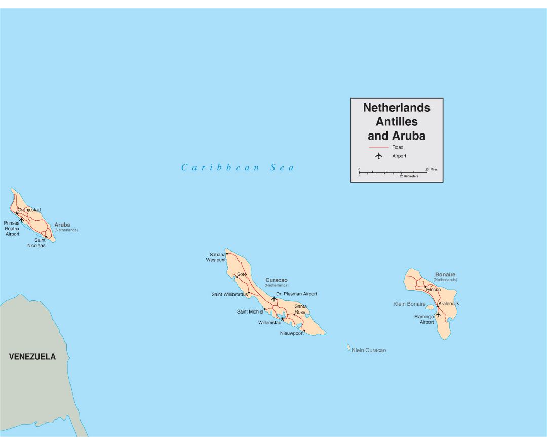
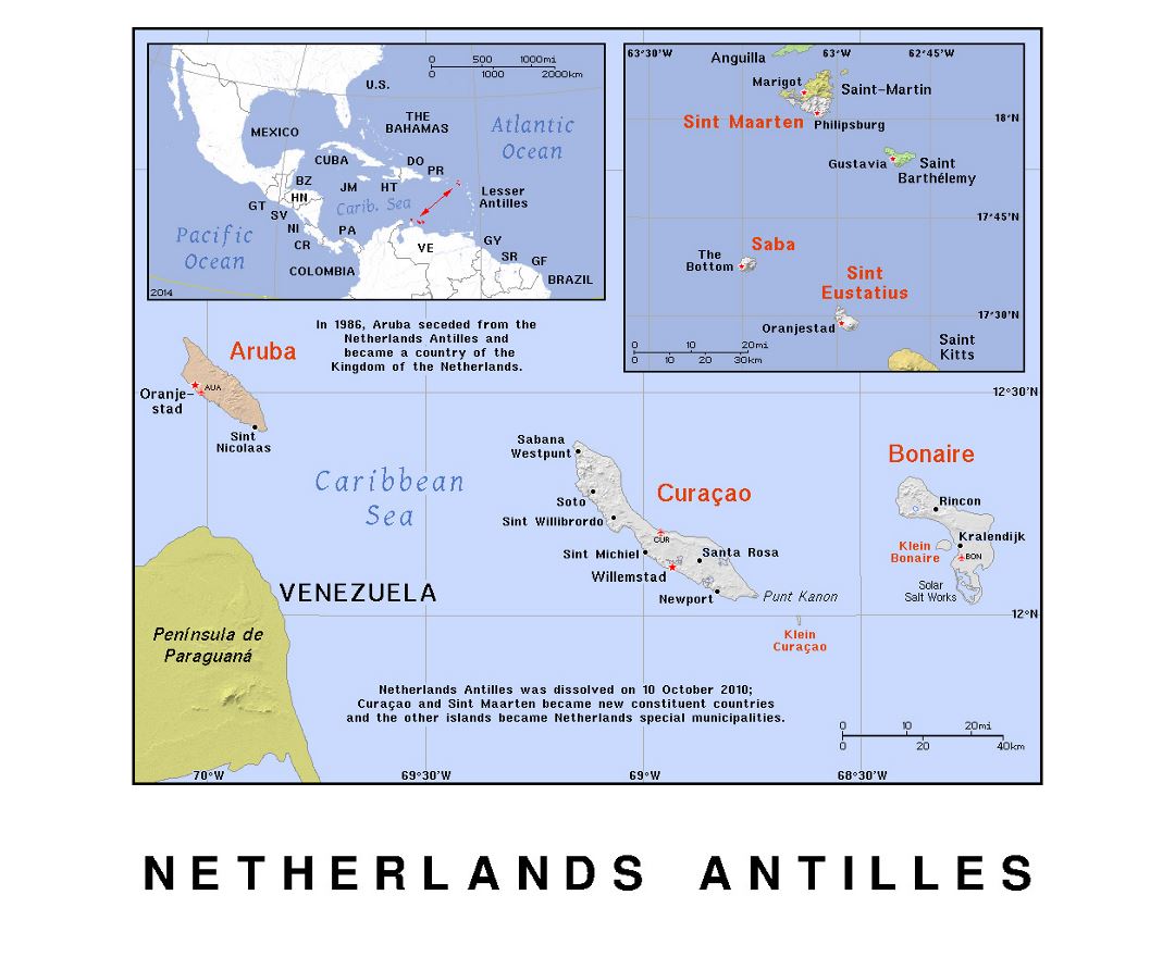
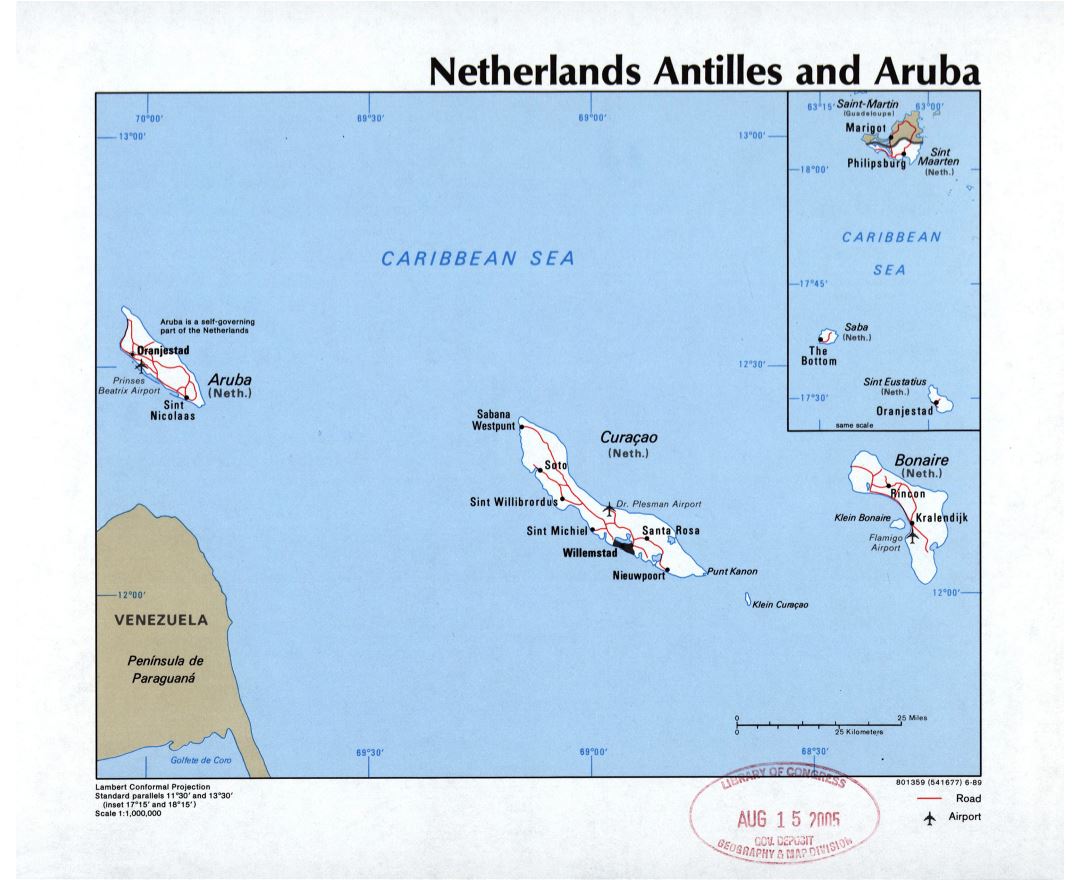
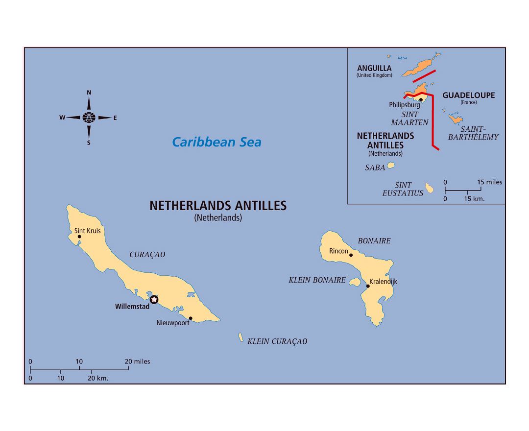
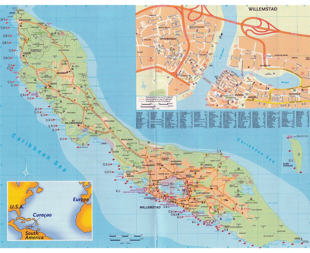
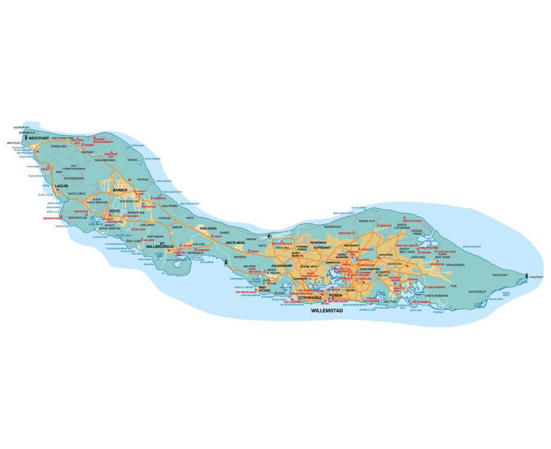
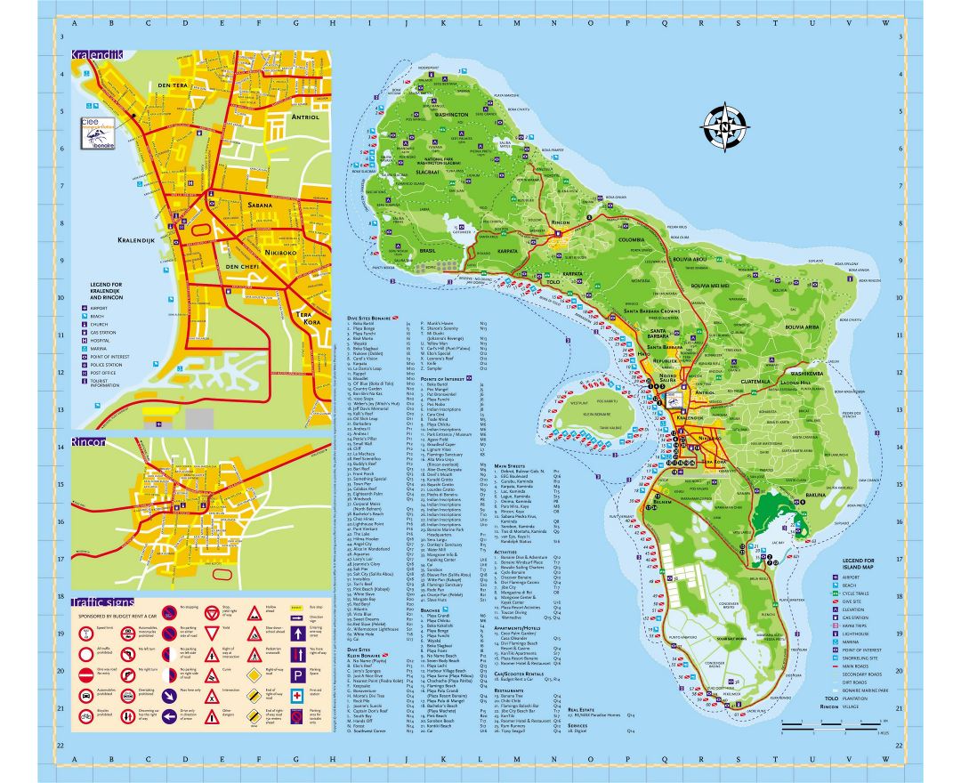
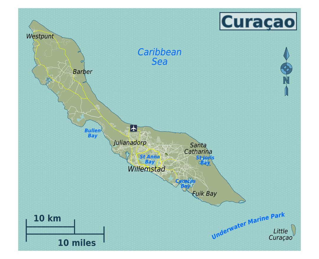
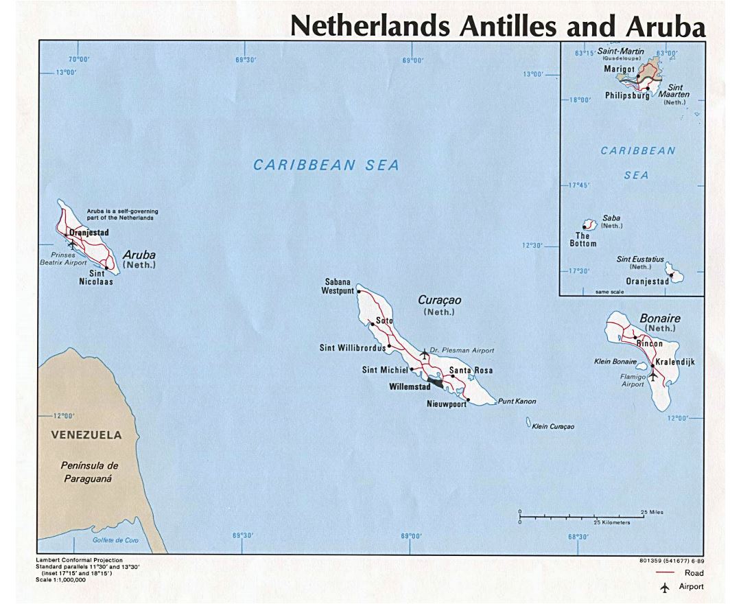
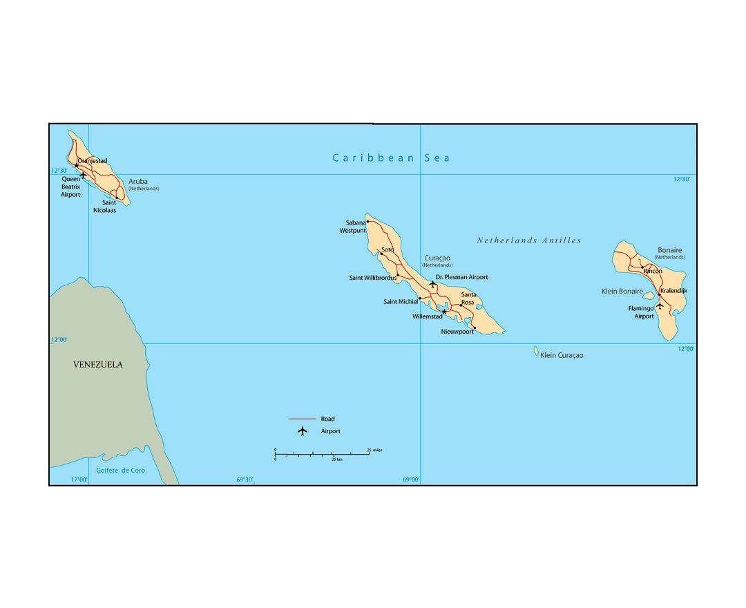
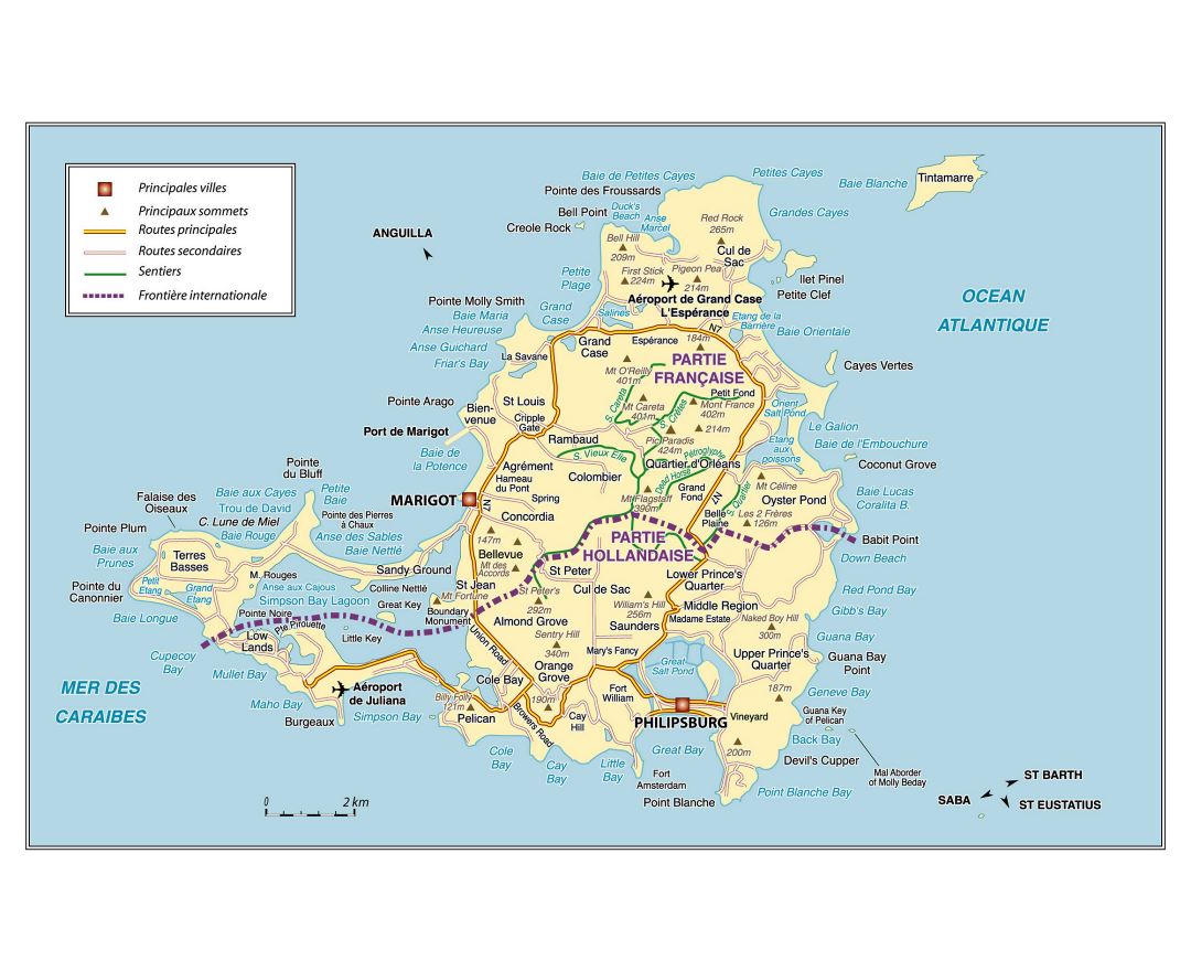
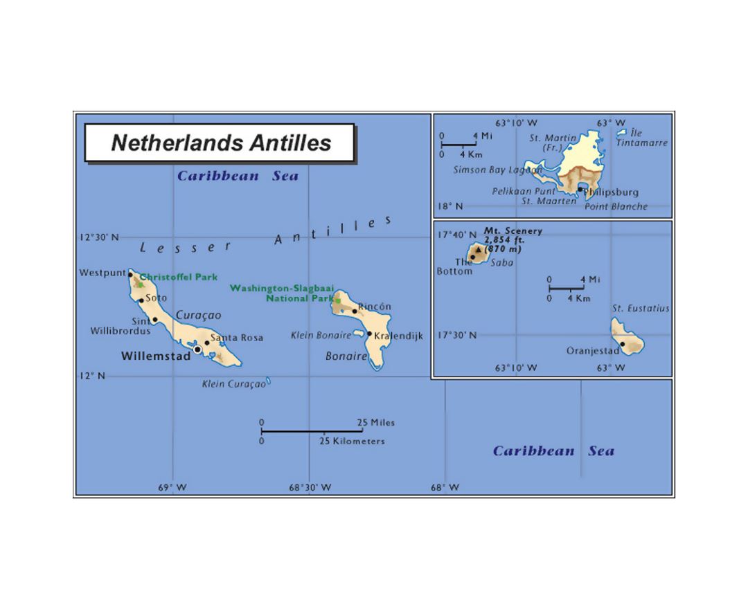
Netherlands Antilles
The Netherlands Antilles was a constituent country of the Kingdom of the Netherlands. The country consisted of several island territories located in the Caribbean Sea. The islands were also informally known as the Dutch Antilles. The country came into being in 1954 as the autonomous successor of the Dutch colony of Curacao and Dependencies, and was dissolved in 2010. The former Dutch colony of Surinam, although it was relatively close by on the continent of South America, did not become part of Netherlands Antilles but became a separate autonomous country at the same time. All the island territories that belonged to the Netherlands Antilles remain part of the kingdom today, although the legal status of each differs. As a group they are still commonly called the Dutch Caribbean, regardless of their legal status.