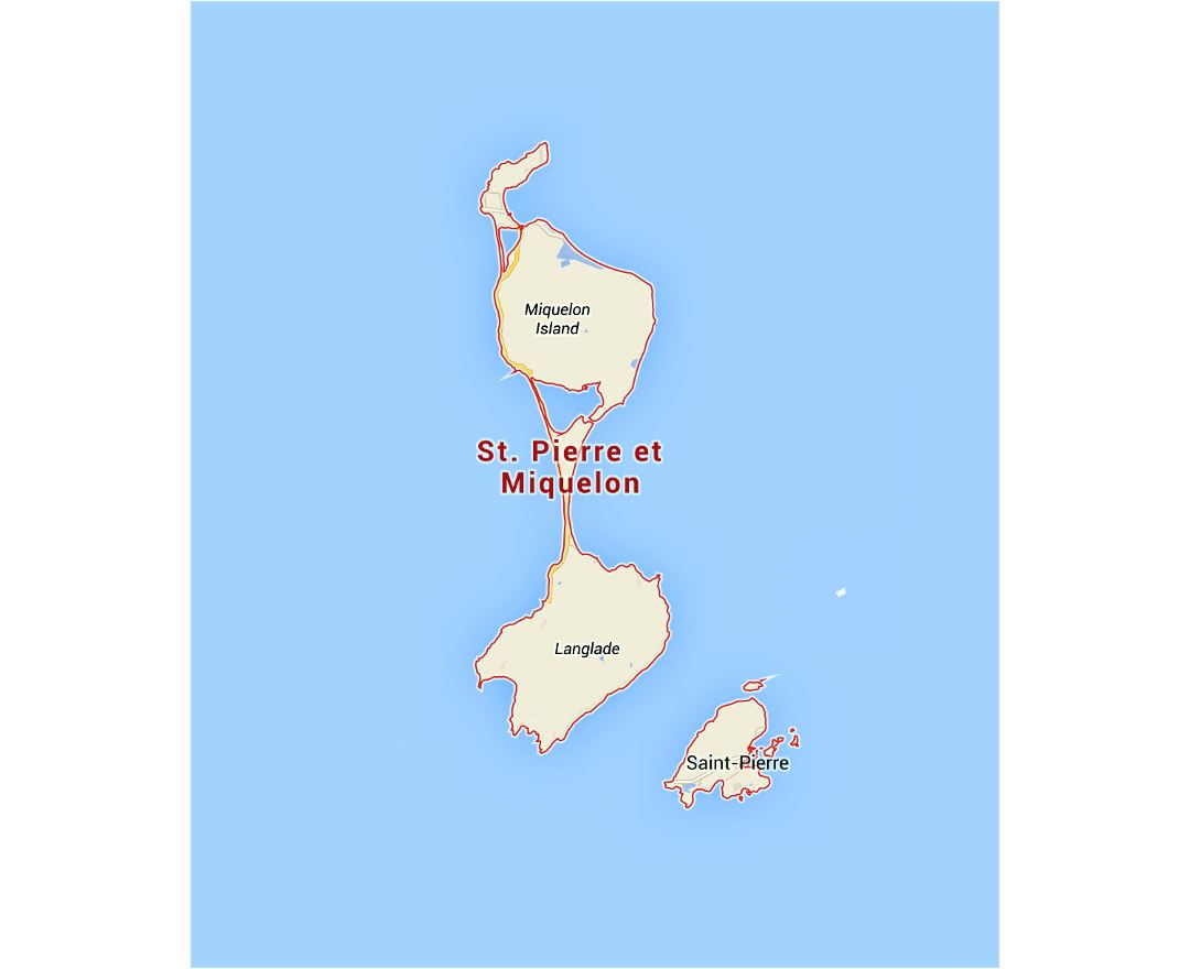
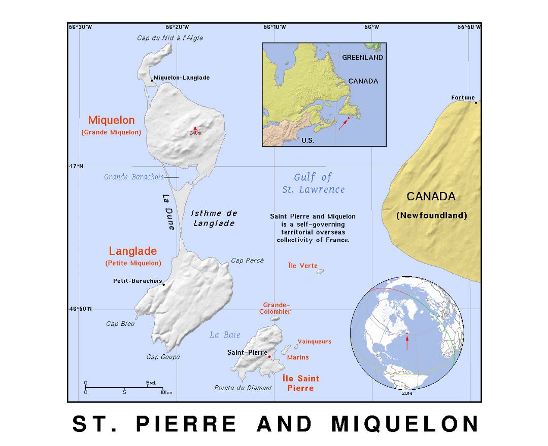
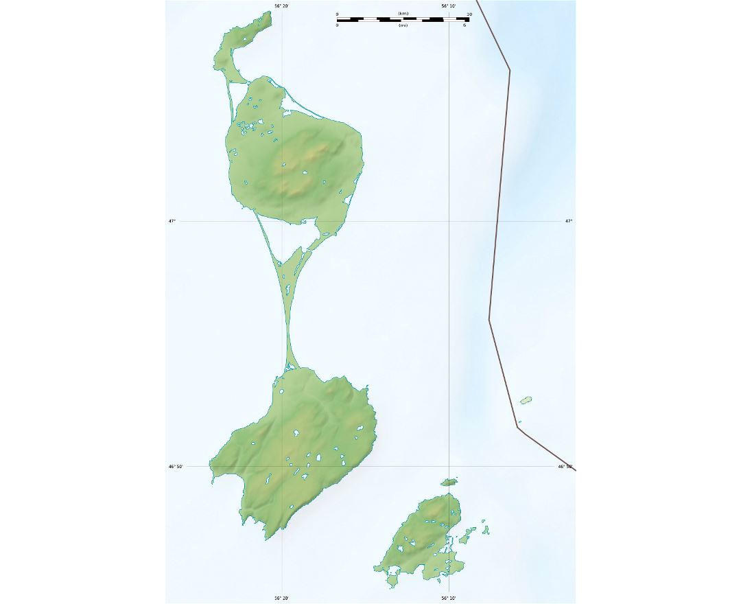
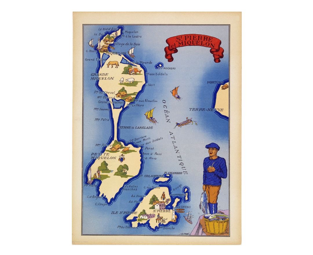
Saint Pierre and Miquelon
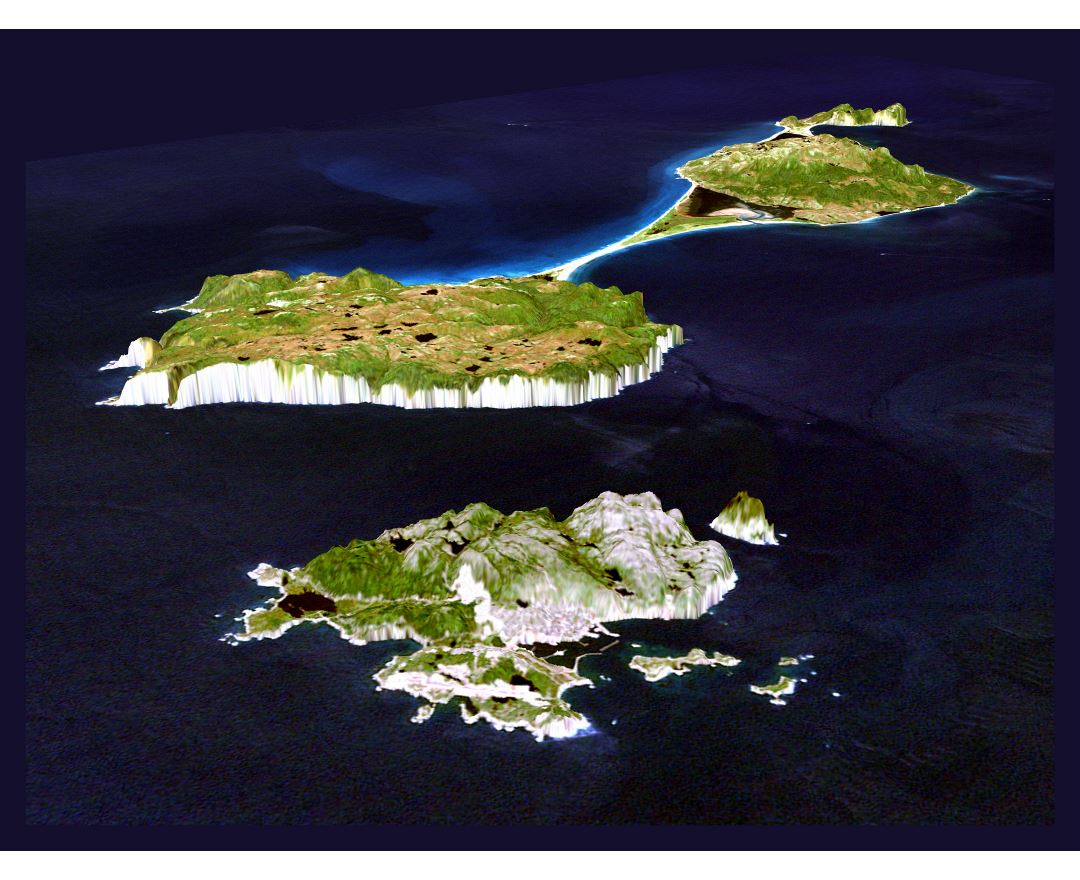
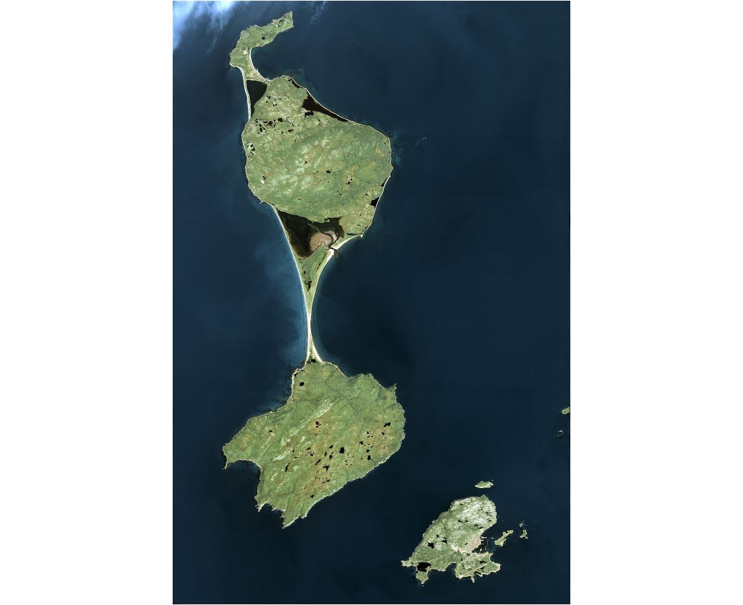
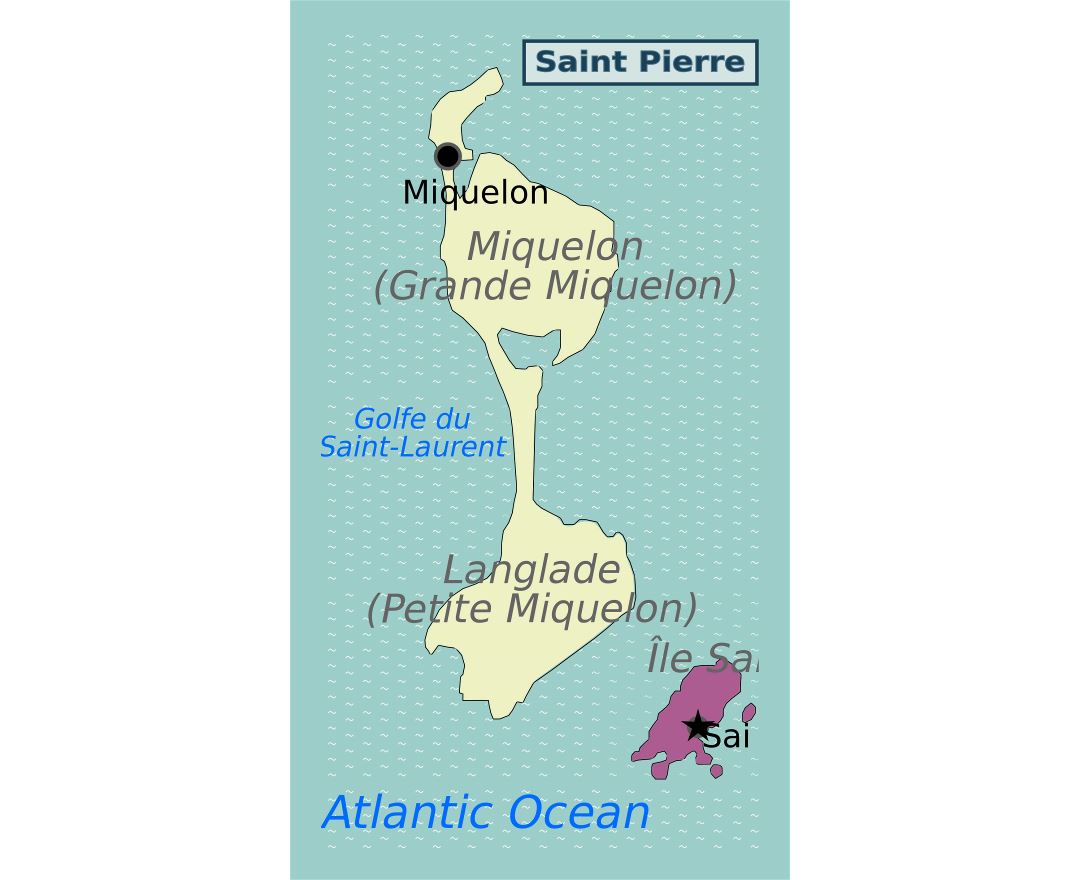
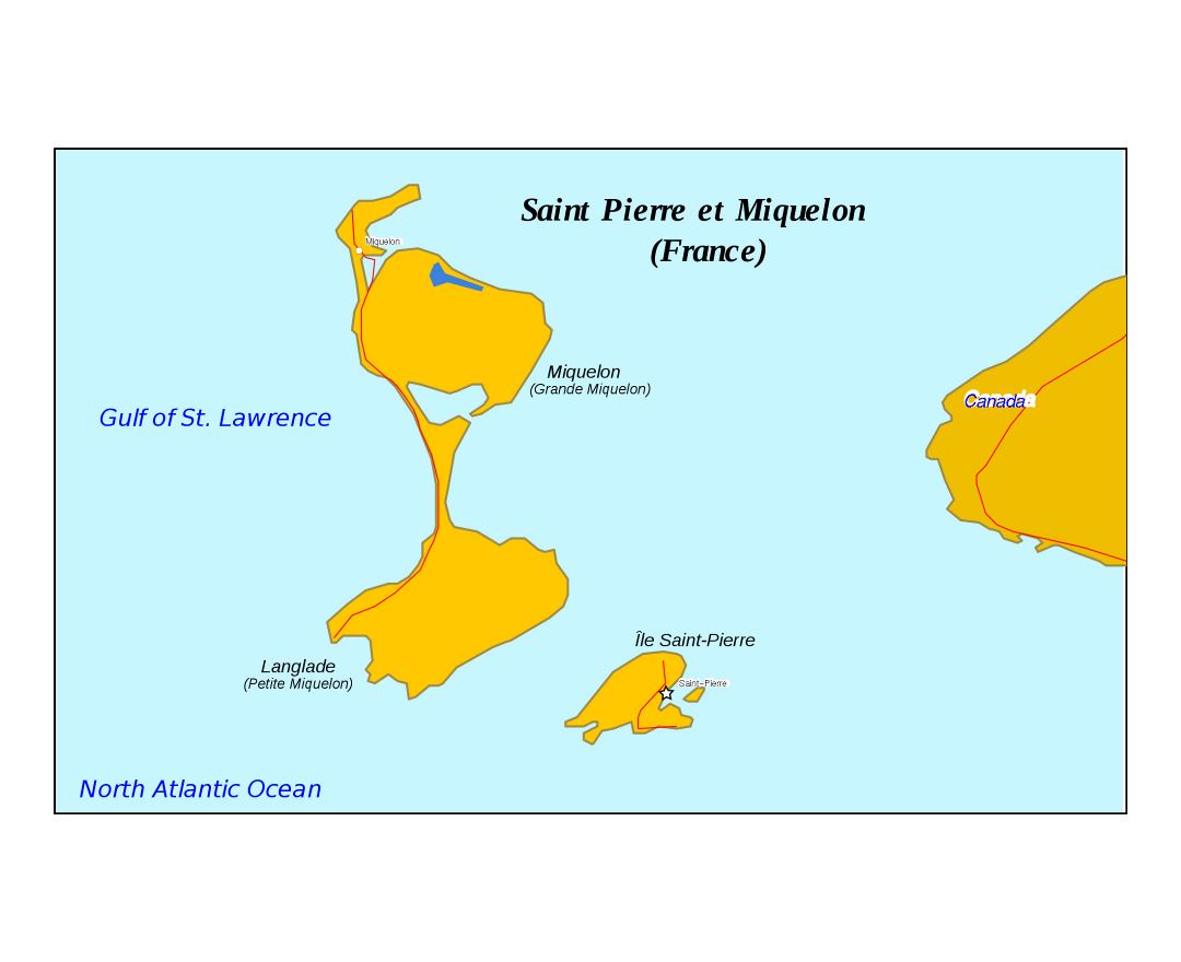
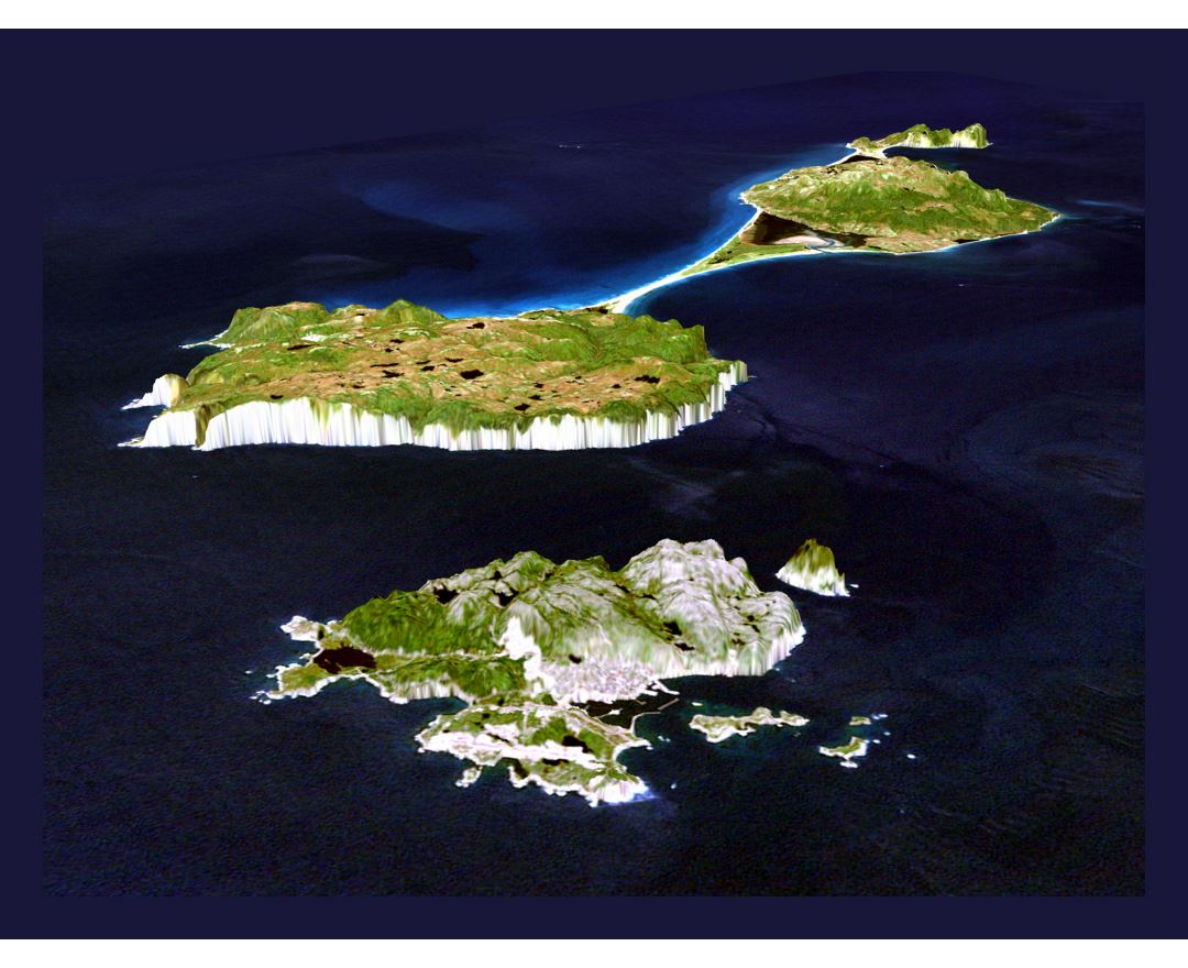
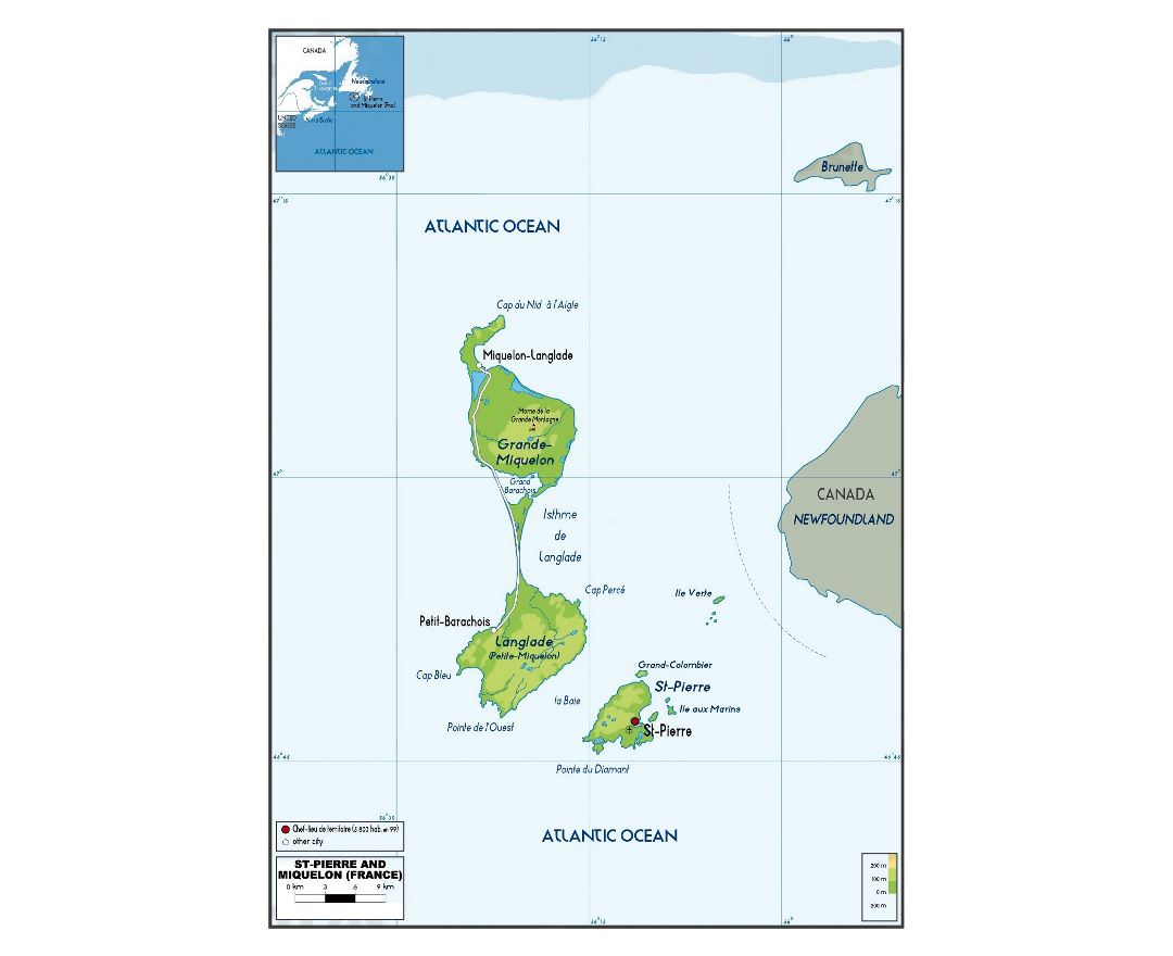
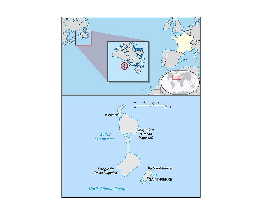
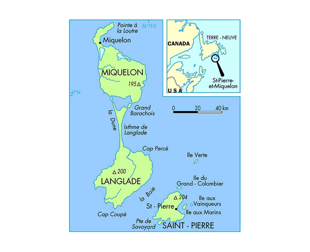
Saint Pierre and Miquelon, officially the Overseas Collectivity of Saint Pierre and Miquelon, is a self-governing territorial overseas collectivity of France, situated in the northwestern Atlantic Ocean near the Newfoundland and Labrador province of Canada. It is the only part of New France that remains under French control, with an area of 242 km² and a population of 6,080 at the January 2011 census.
The islands are situated at the entrance of Fortune Bay, which extends into the southwestern coast of Newfoundland, near the Grand Banks. They are 3,819 kilometres (2,373 mi) from Brest, the nearest point in Metropolitan France, but only 25 kilometres (16 mi) from the Burin Peninsula of Newfoundland.