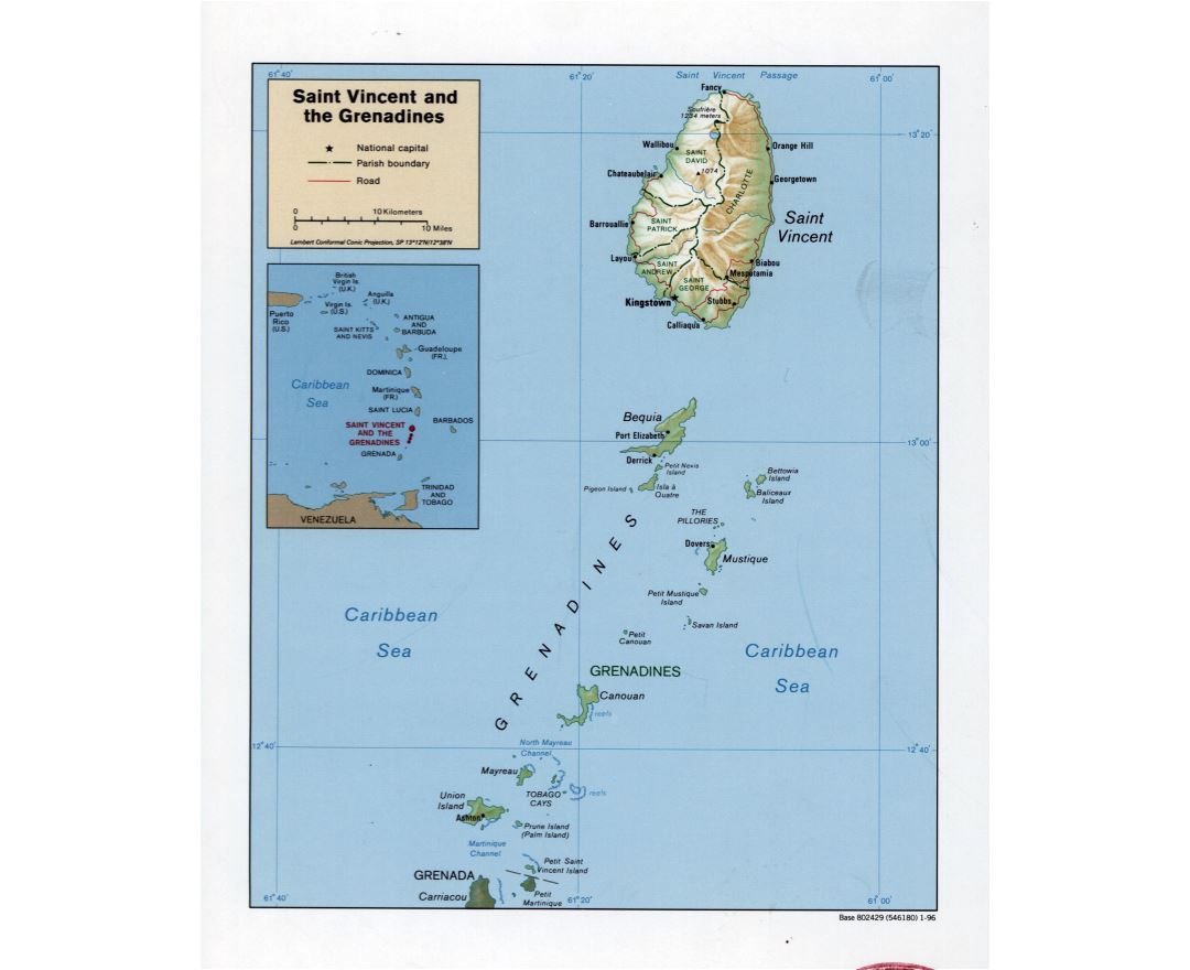
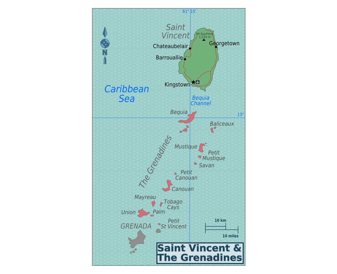
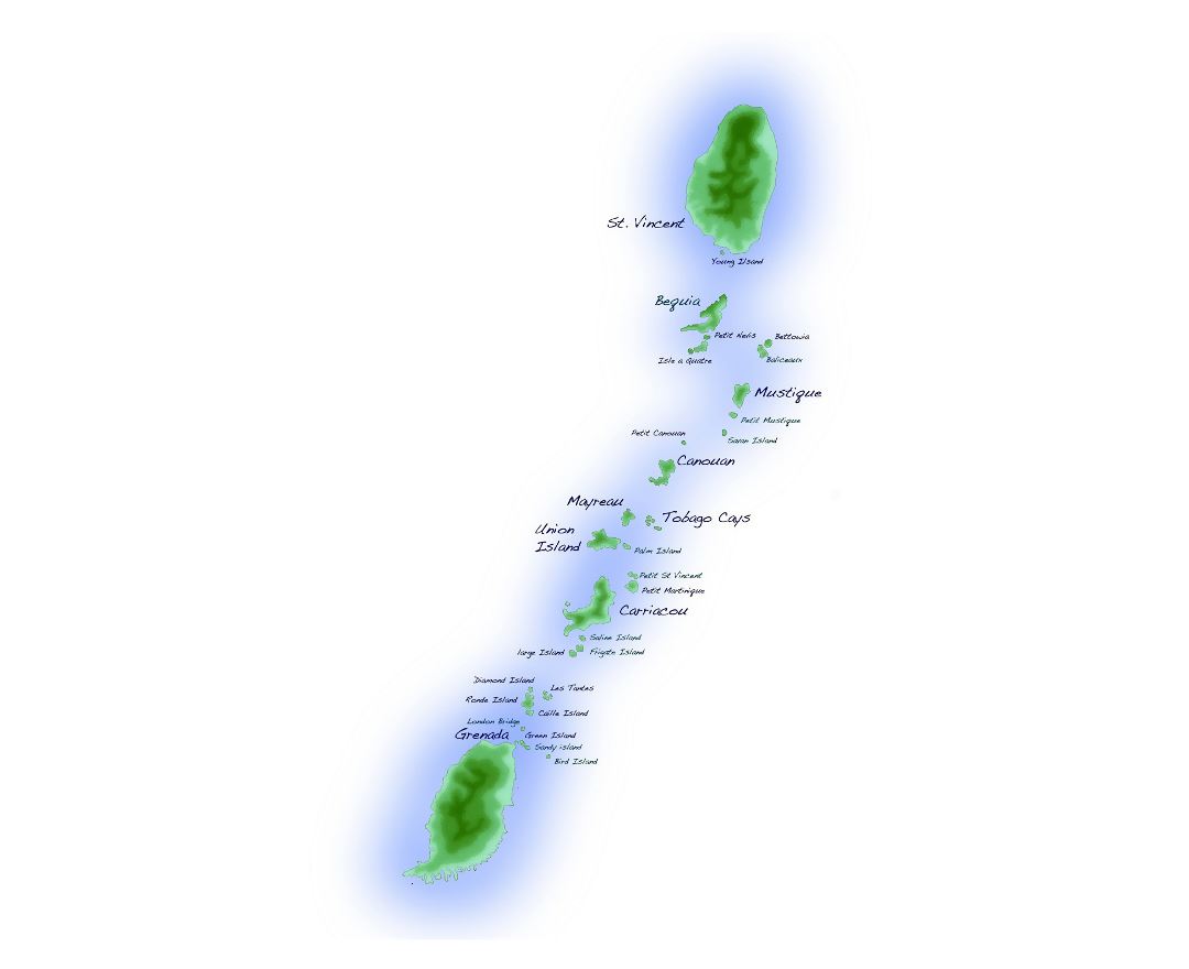
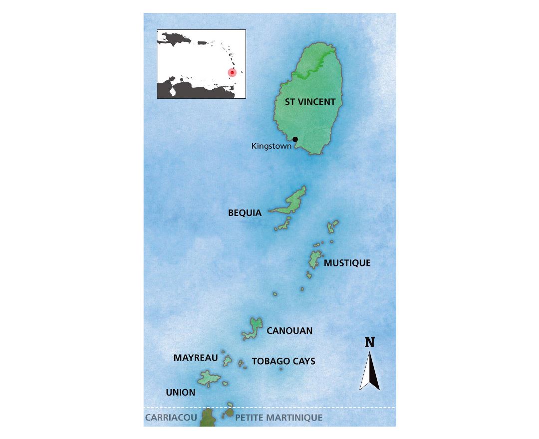
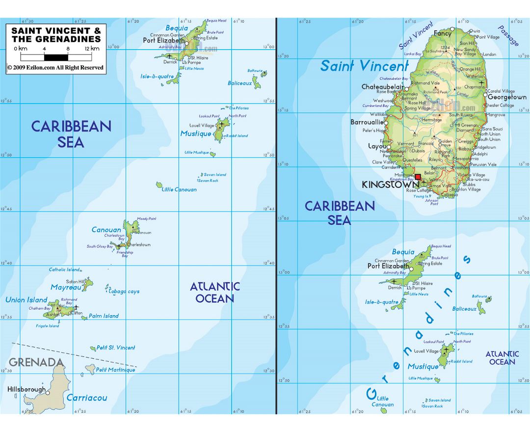
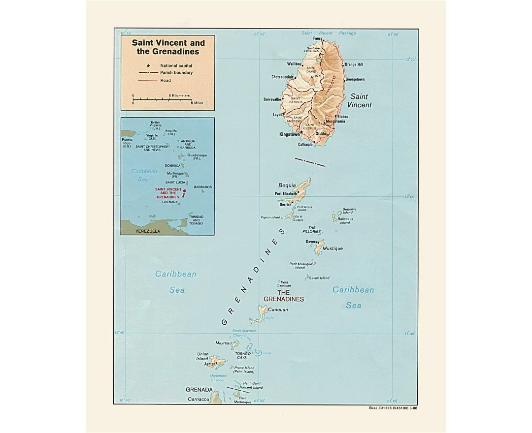
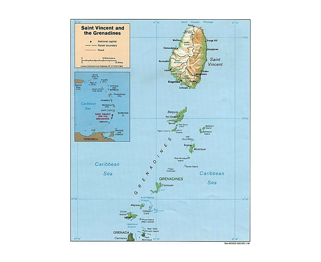
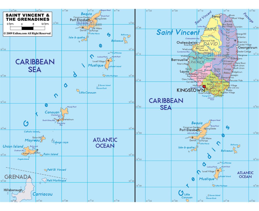
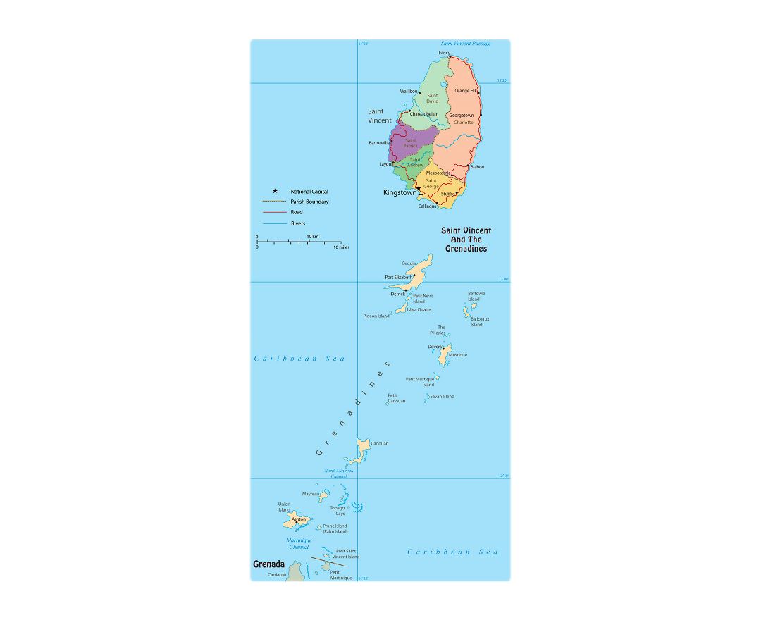
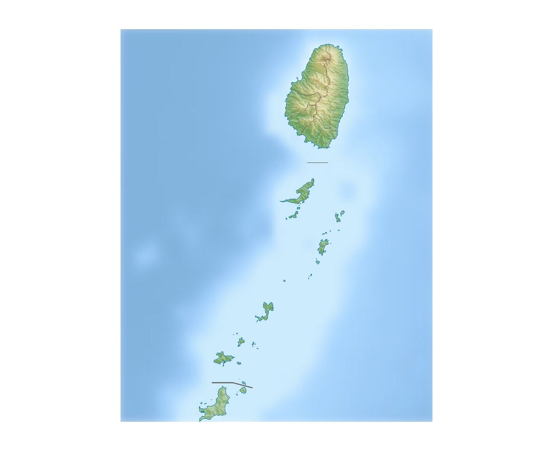
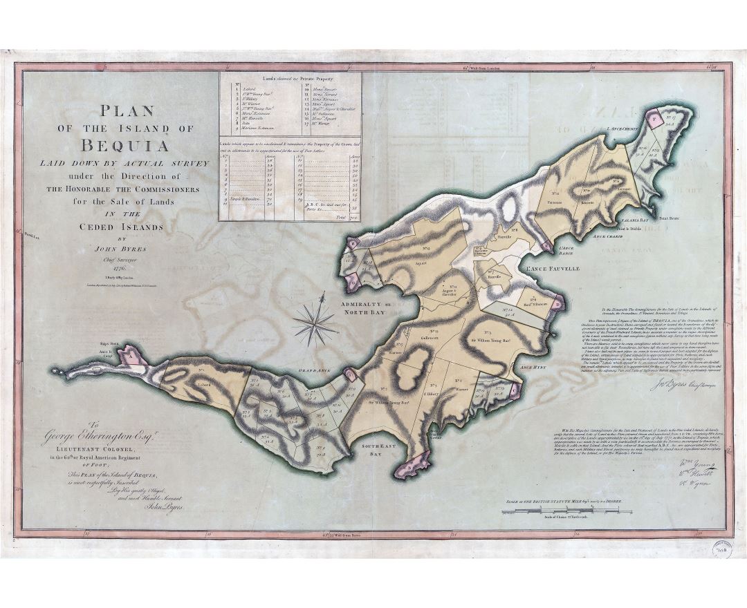
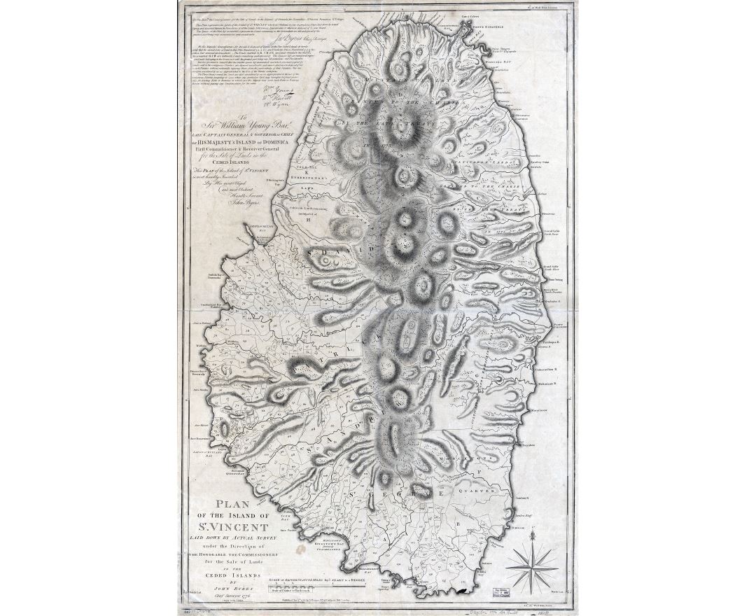
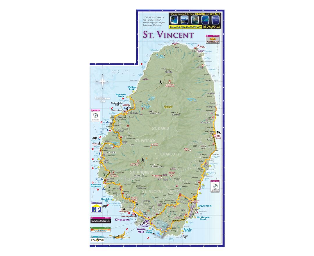
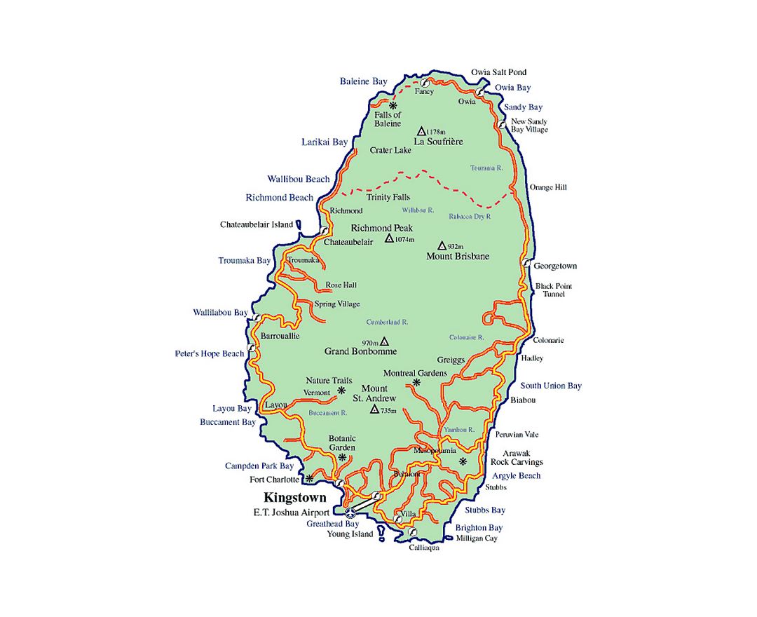
Saint Vincent and the Grenadines
Saint Vincent and the Grenadines is a sovereign state in the Lesser Antilles island arc, in the southern portion of the Windward Islands, which lie at the southern end of the eastern border of the Caribbean Sea where the latter meets the Atlantic Ocean. The country is also known simply as Saint Vincent.
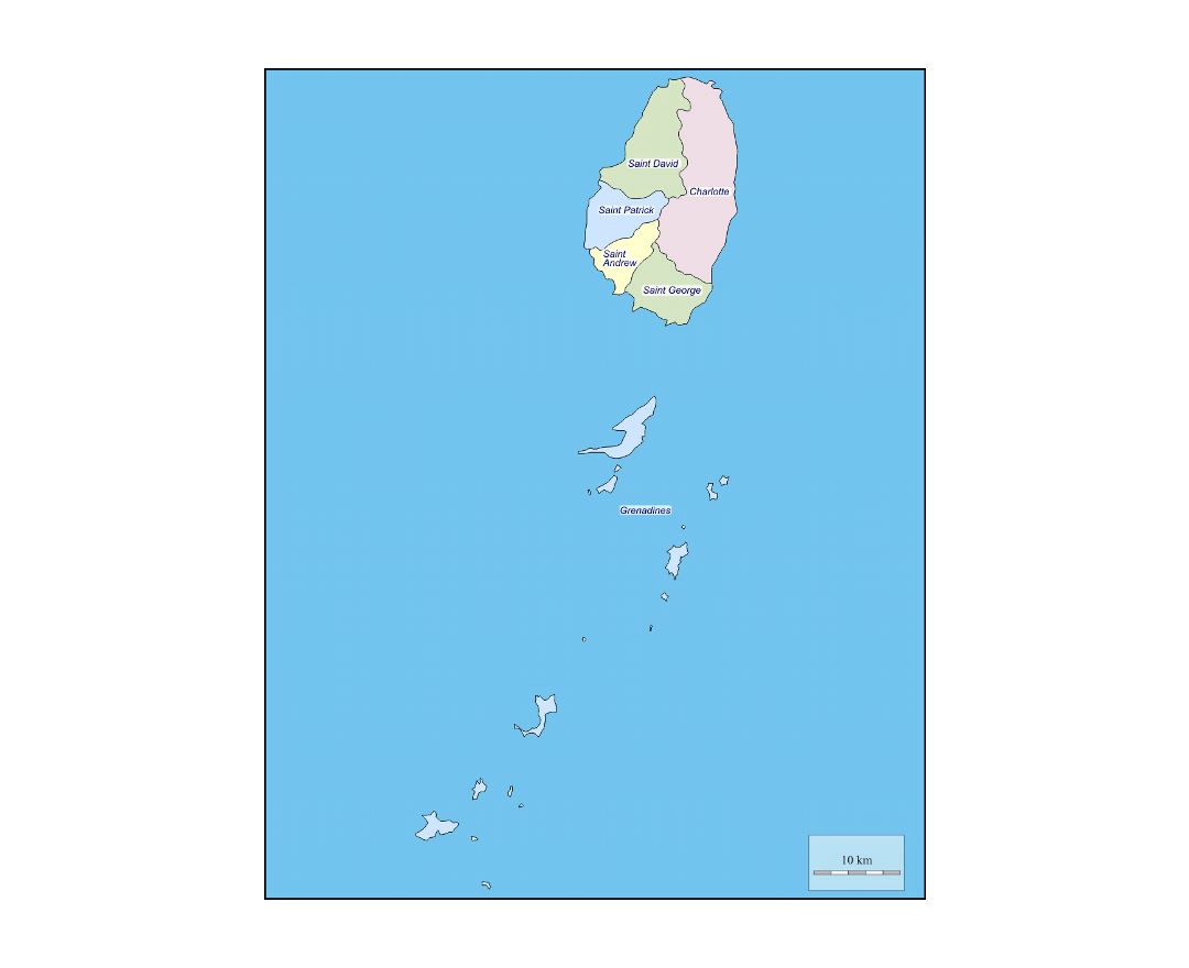
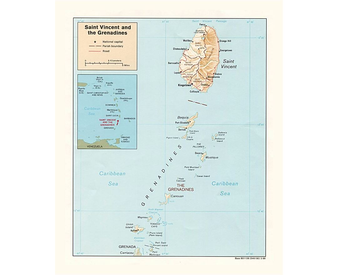
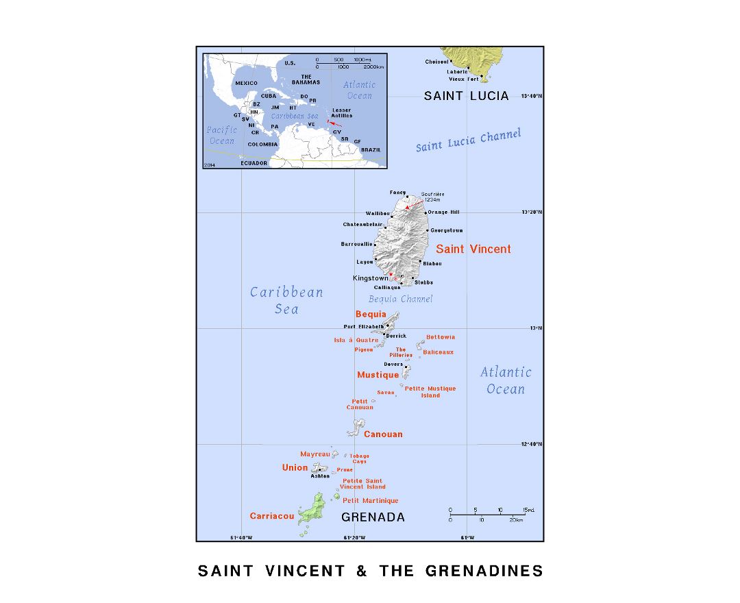
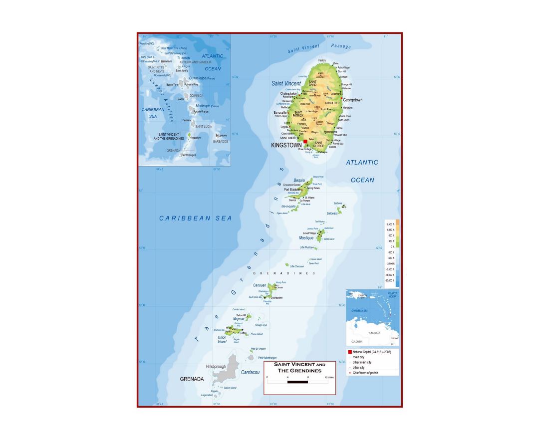
Its 389 km² (150 sq mi) territory consists of the main island of Saint Vincent and the northern two-thirds of the Grenadines, which are a chain of smaller islands stretching south from Saint Vincent Island to Grenada. Most of Saint Vincent and the Grenadines lies within the Hurricane Belt.
To the north of Saint Vincent lies Saint Lucia, to the east Barbados. Saint Vincent and the Grenadines is a densely populated country (over 300 inhabitants/km²) with approximately 109,643 inhabitants.
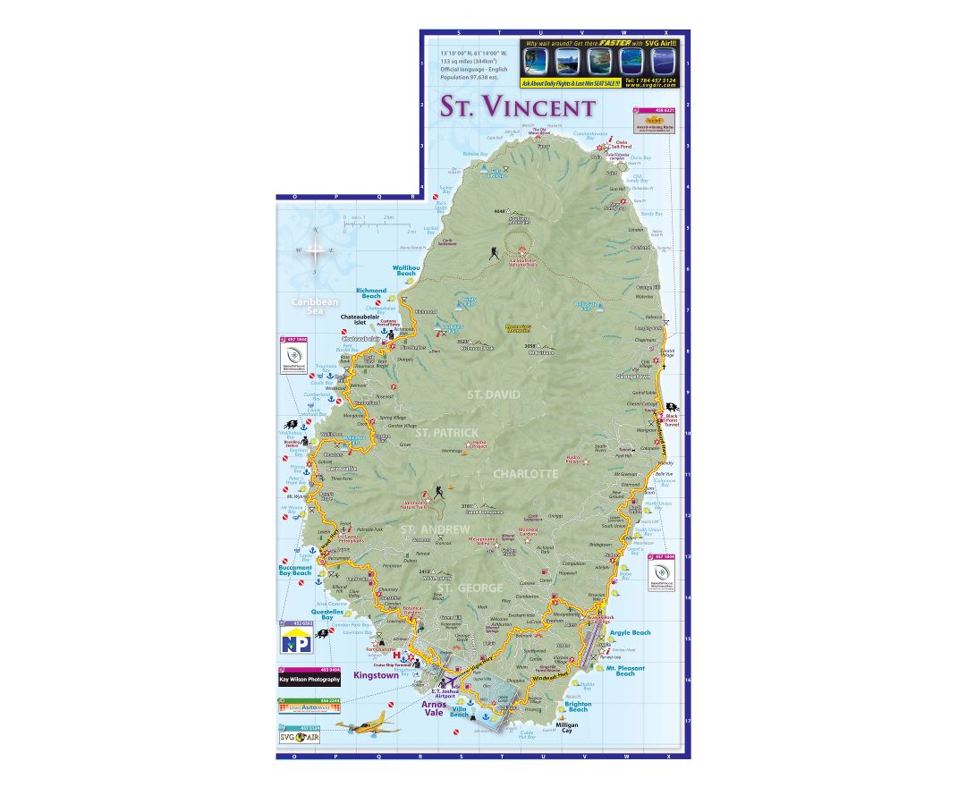
Kingstown is the capital and main port. Saint Vincent has a French and British colonial history and is now part of the Organisation of Eastern Caribbean States, CARICOM, the Commonwealth of Nations, the Bolivarian Alliance for the Americas and the Community of Latin American and Caribbean States (CELAC).