Baker Island
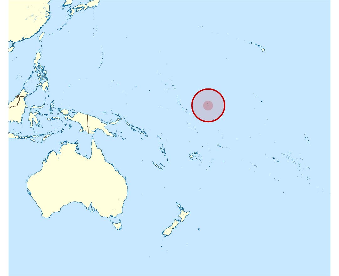
Baker Island is an uninhabited atoll located just north of the equator in the central Pacific Ocean about 3,090 km (1,920 mi) southwest of Honolulu. The island lies almost halfway between Hawaii and Australia. Its nearest neighbor is Howland Island, 42 mi (68 km) to the north-northwest; both have been claimed as territories of the United States since 1857, though the United Kingdom considered them part of the British Empire between 1897 and 1936.
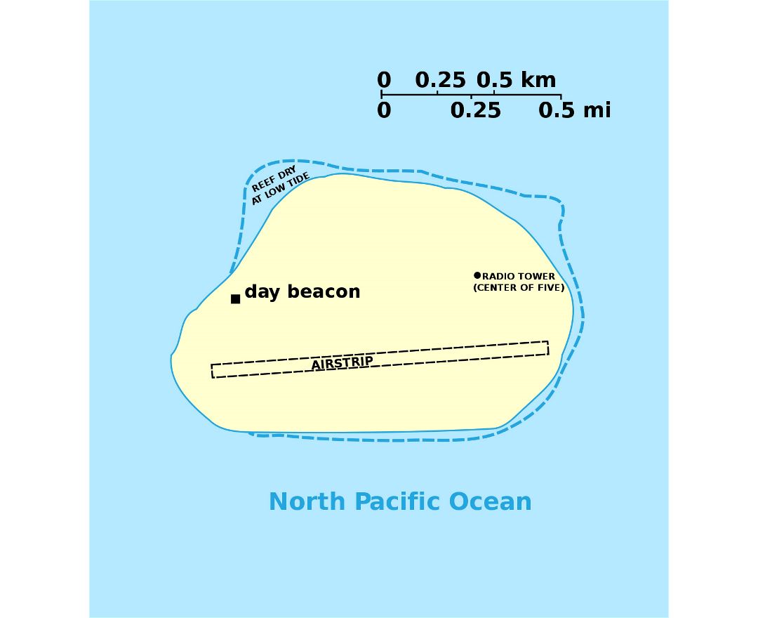
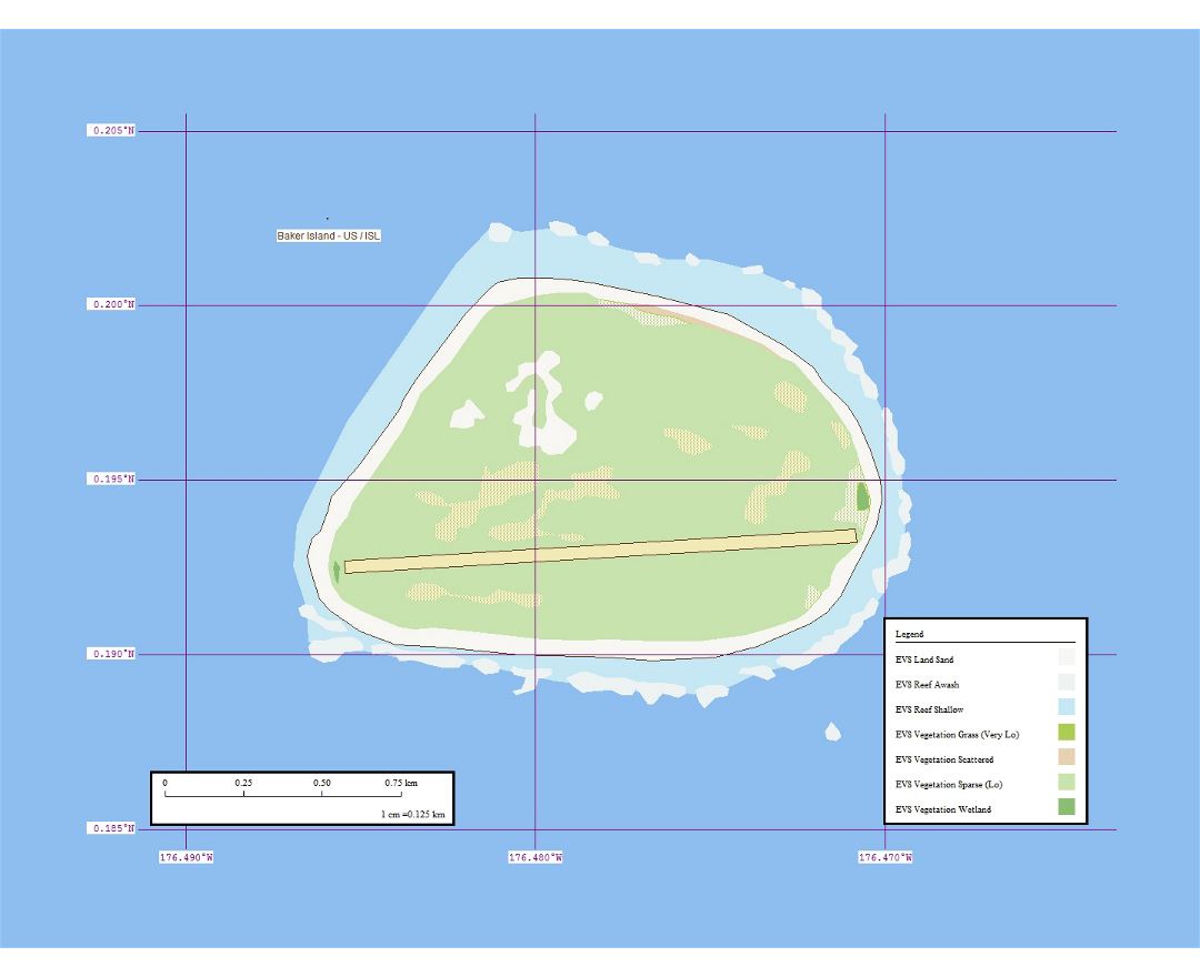
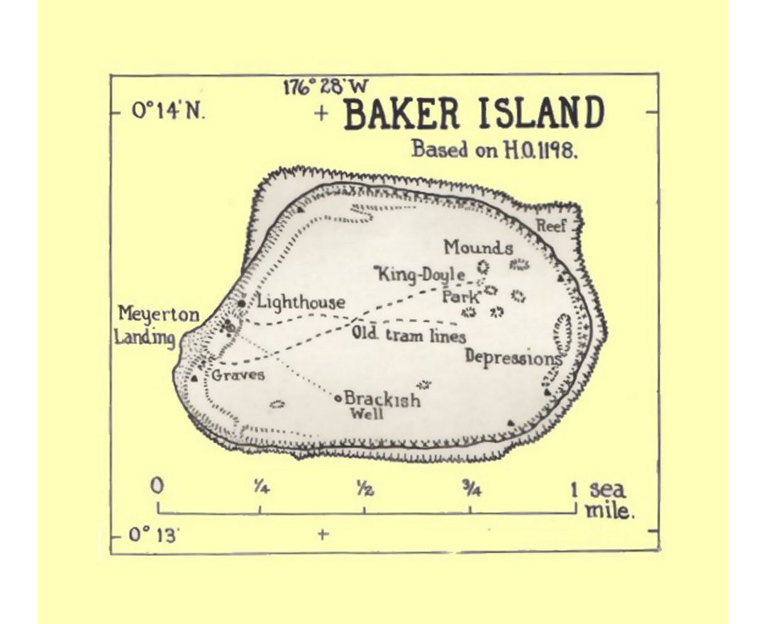
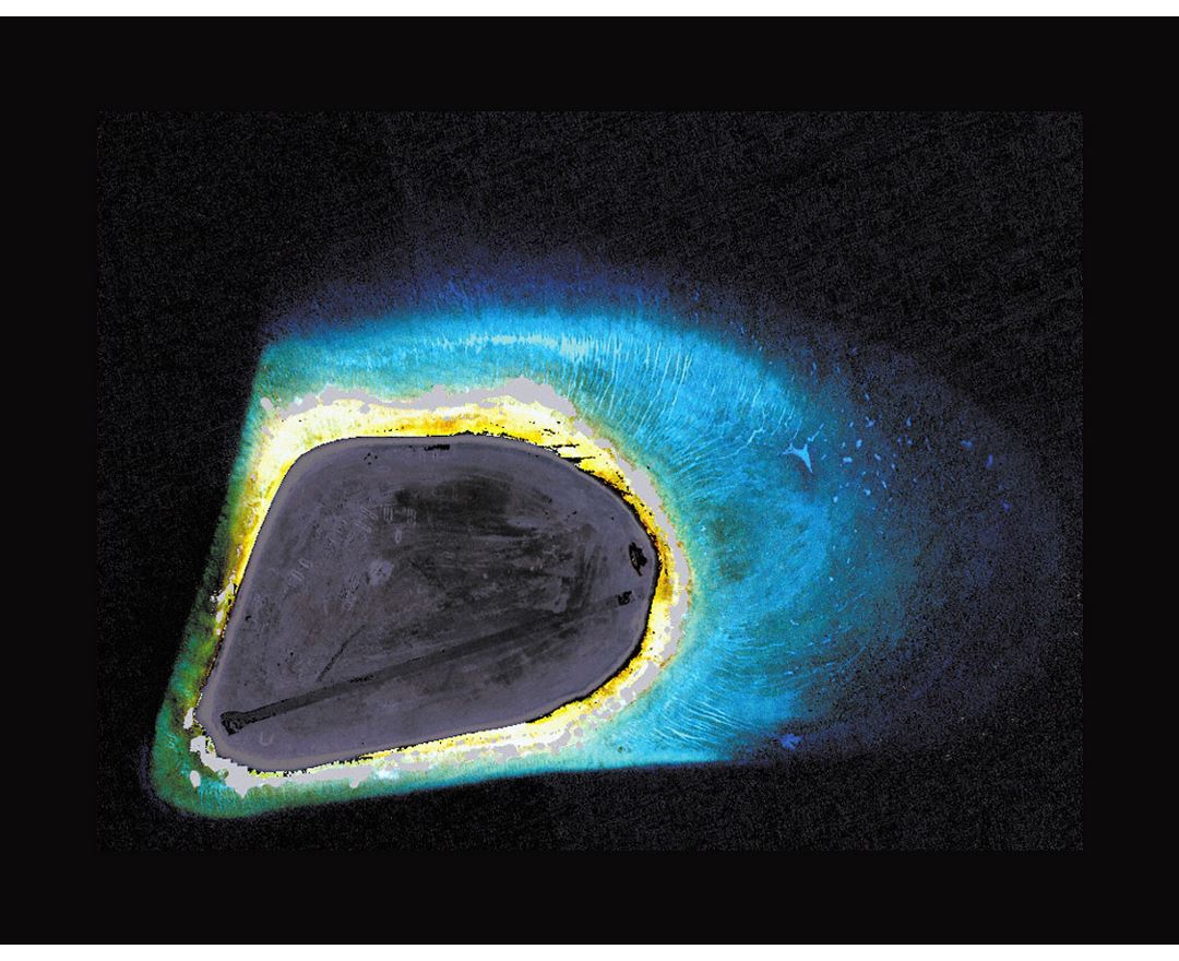
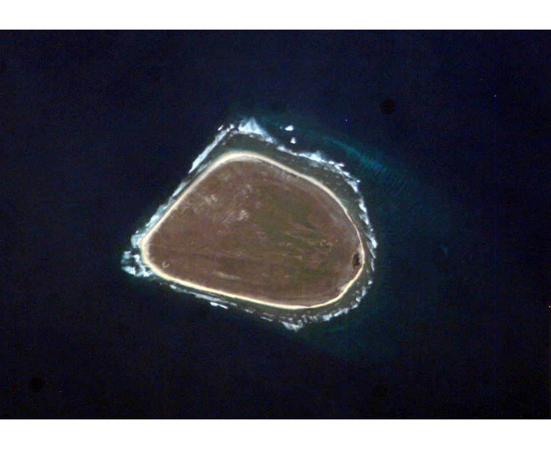
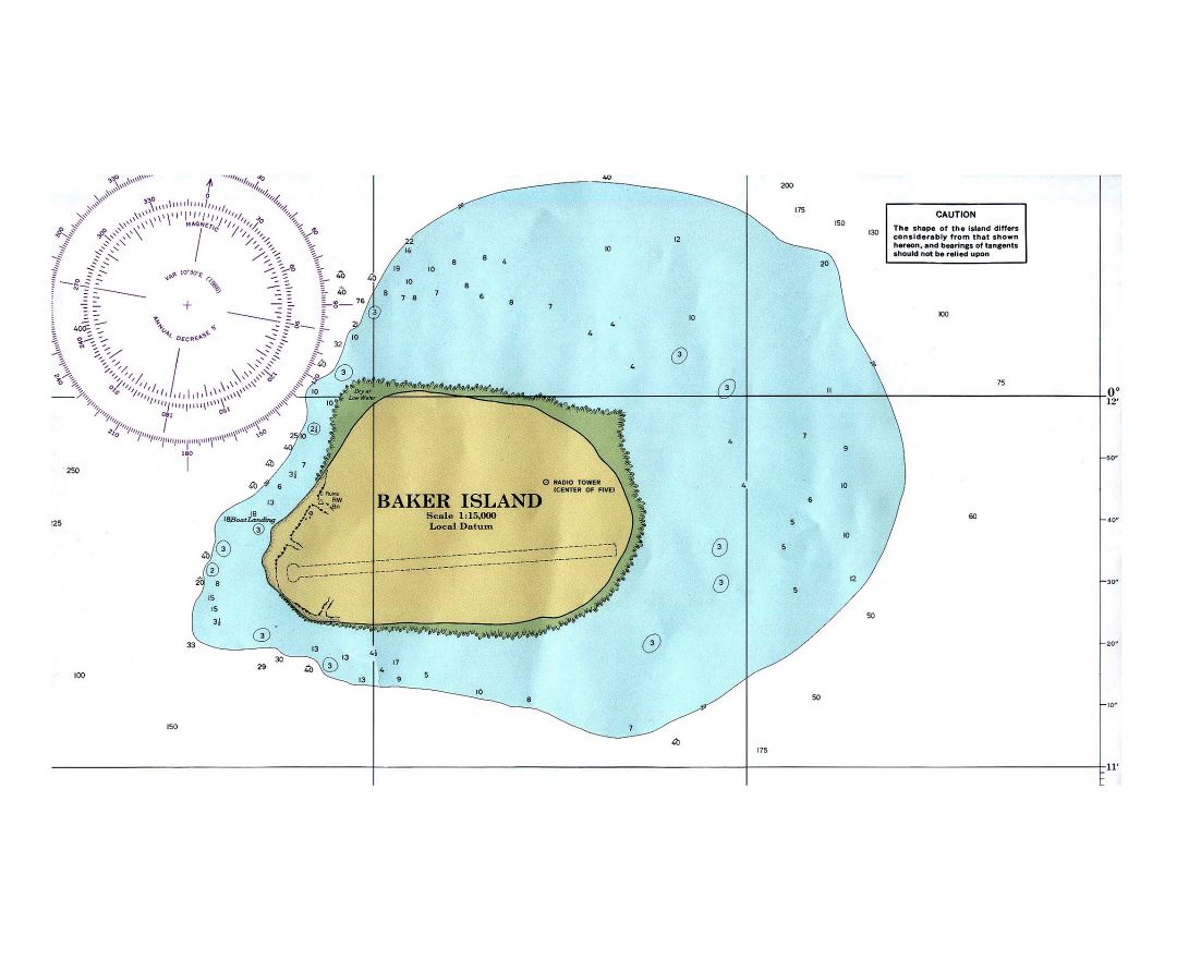
Located at 0°11′41″N 176°28′46″W. the island covers 2.1 km² (0.81 sq mi), with 4.8 km (3.0 mi) of coastline. The climate is equatorial, with little rainfall, constant wind, and strong sunshine. The terrain is low-lying and sandy: a coral island surrounded by a narrow fringing reef with a depressed central area devoid of a lagoon with its highest point being 8 m (26 ft) above sea level.
The island now forms the Baker Island National Wildlife Refuge and is an unincorporated and unorganized territory of the U.S. which vouches for its defense. It is visited annually by the U.S. Fish and Wildlife Service. For statistical purposes, Baker is grouped with the United States Minor Outlying Islands. Baker Island and Howland Island are also the last pieces of land that experience the New Year (earliest time zone - UTC−12:00).