Congo
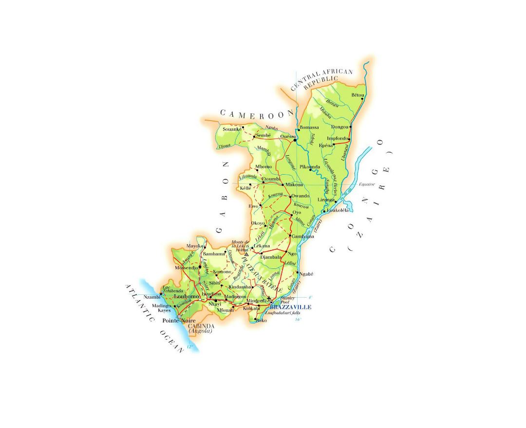
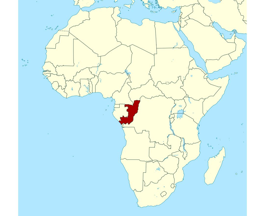
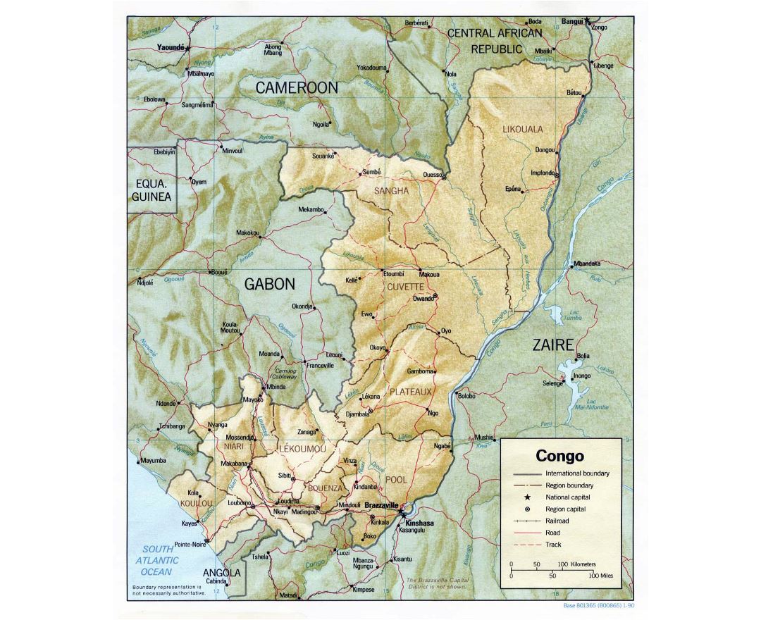
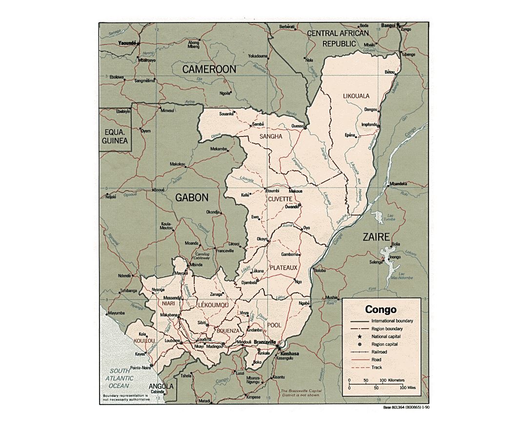
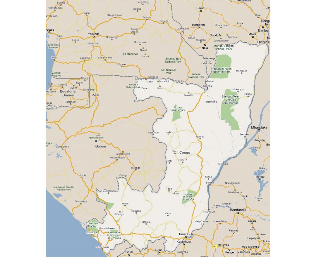
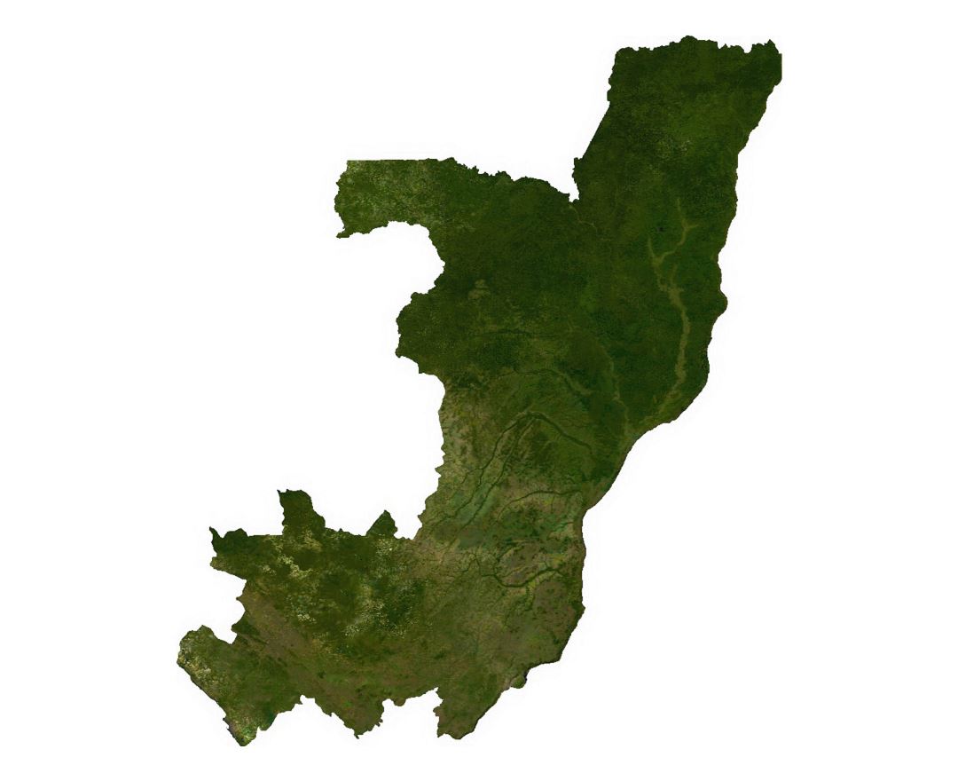
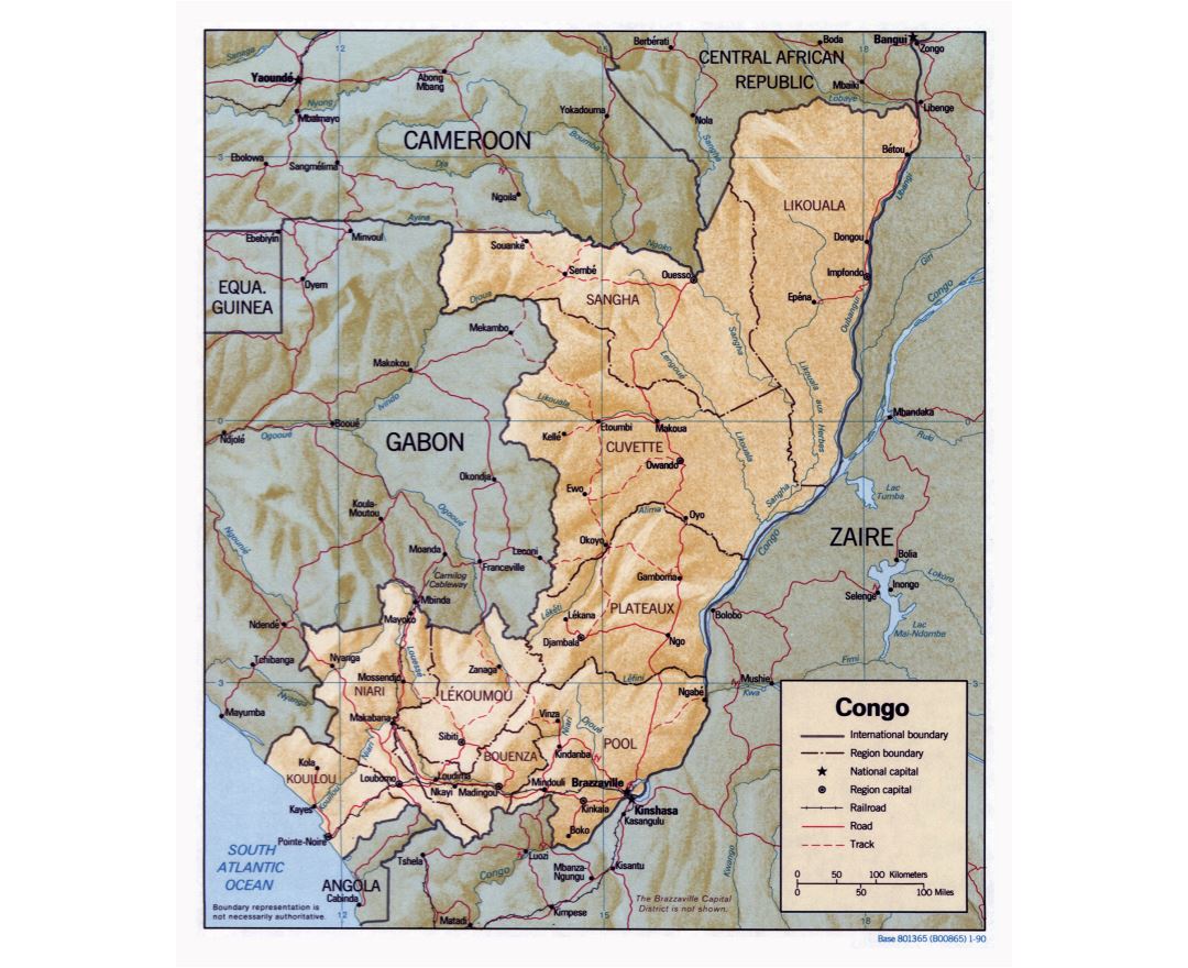
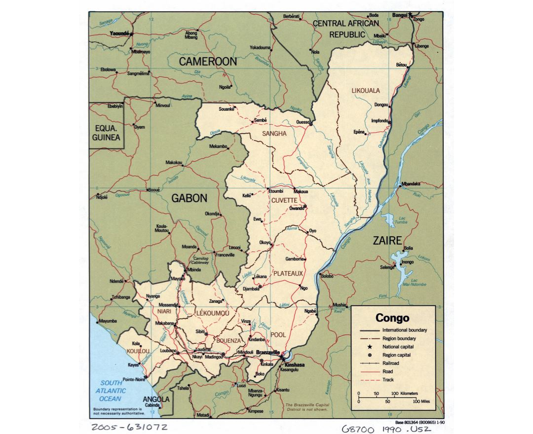
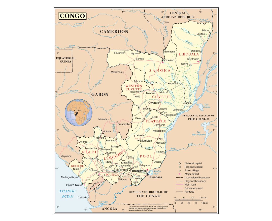
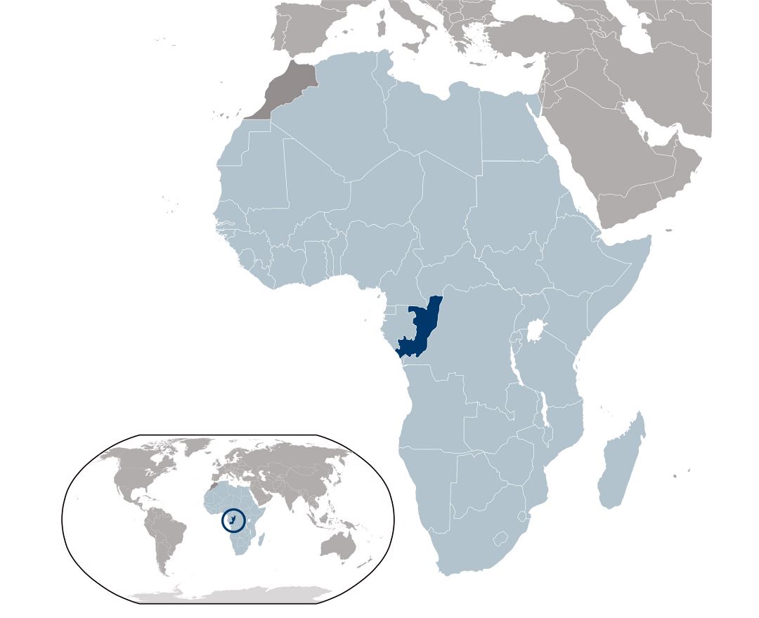
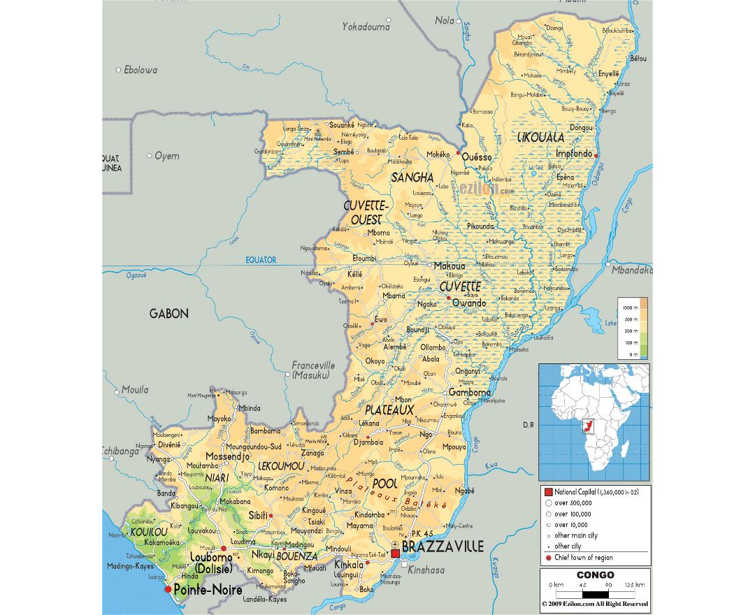
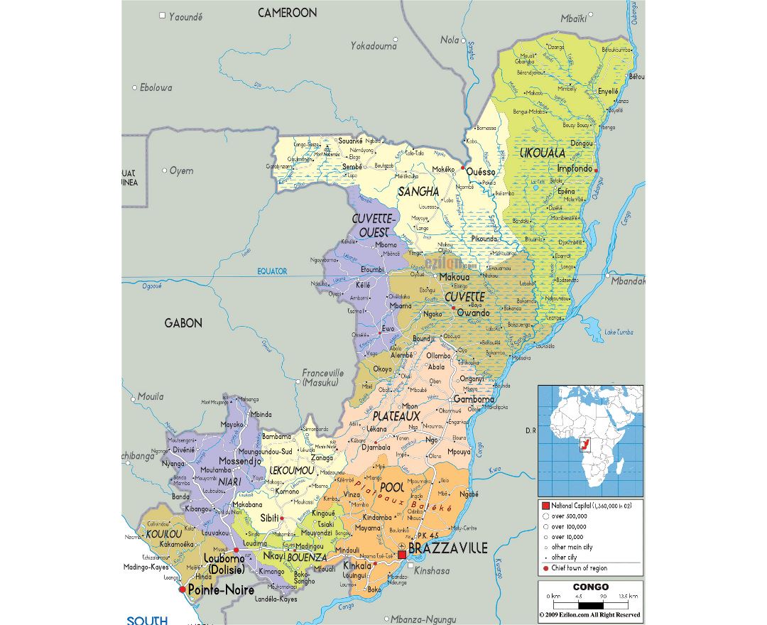
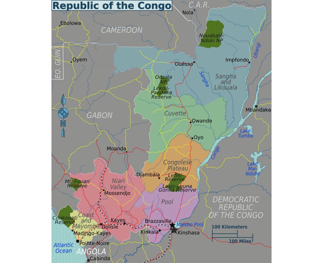
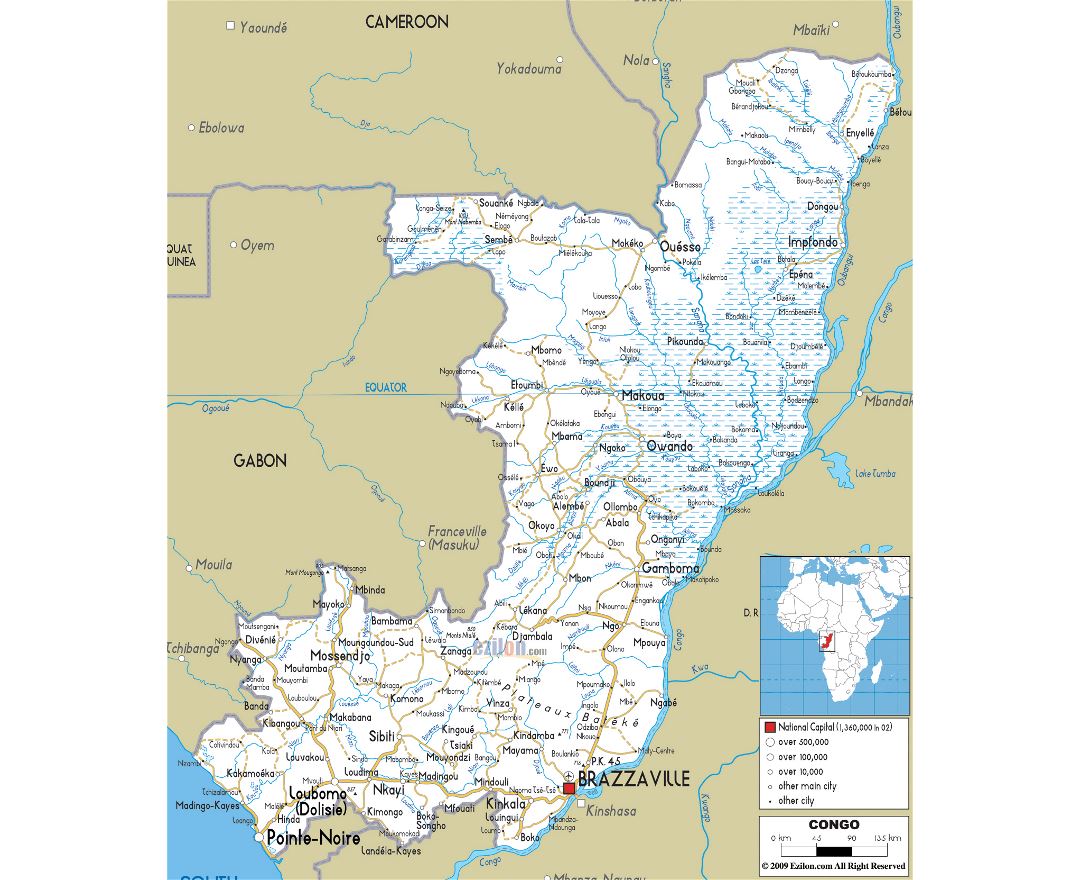
The Republic of the Congo, also known as the Congo Republic, Congo-Brazzaville or simply Congo, is a country located in Central Africa. It is bordered by five countries: Gabon and the Atlantic Ocean to the west; Cameroon to the northwest; the Central African Republic to the northeast; the Democratic Republic of the Congo to the east and south; and the Angolan exclave of Cabinda to the southwest.
The region was dominated by Bantu-speaking tribes, who built trade links leading into the Congo River basin. Congo-Brazzaville was formerly part of the French colony of Equatorial Africa. Upon independence in 1960, the former colony of French Congo became the Republic of the Congo. The People's Republic of the Congo was a Marxist - Leninist one-party state from 1970 to 1991. Multi-party elections have been held since 1992, although a democratically elected government was ousted in the 1997 Republic of the Congo Civil War and President Denis Sassou Nguesso has ruled for 26 of the past 36 years.
The political stability and development of hydrocarbon production made Republic of the Congo the fourth largest oil producer in the Gulf of Guinea and provided the country with a relative prosperity despite the poor state of its infrastructure and public services and an unequal distribution of oil revenues.