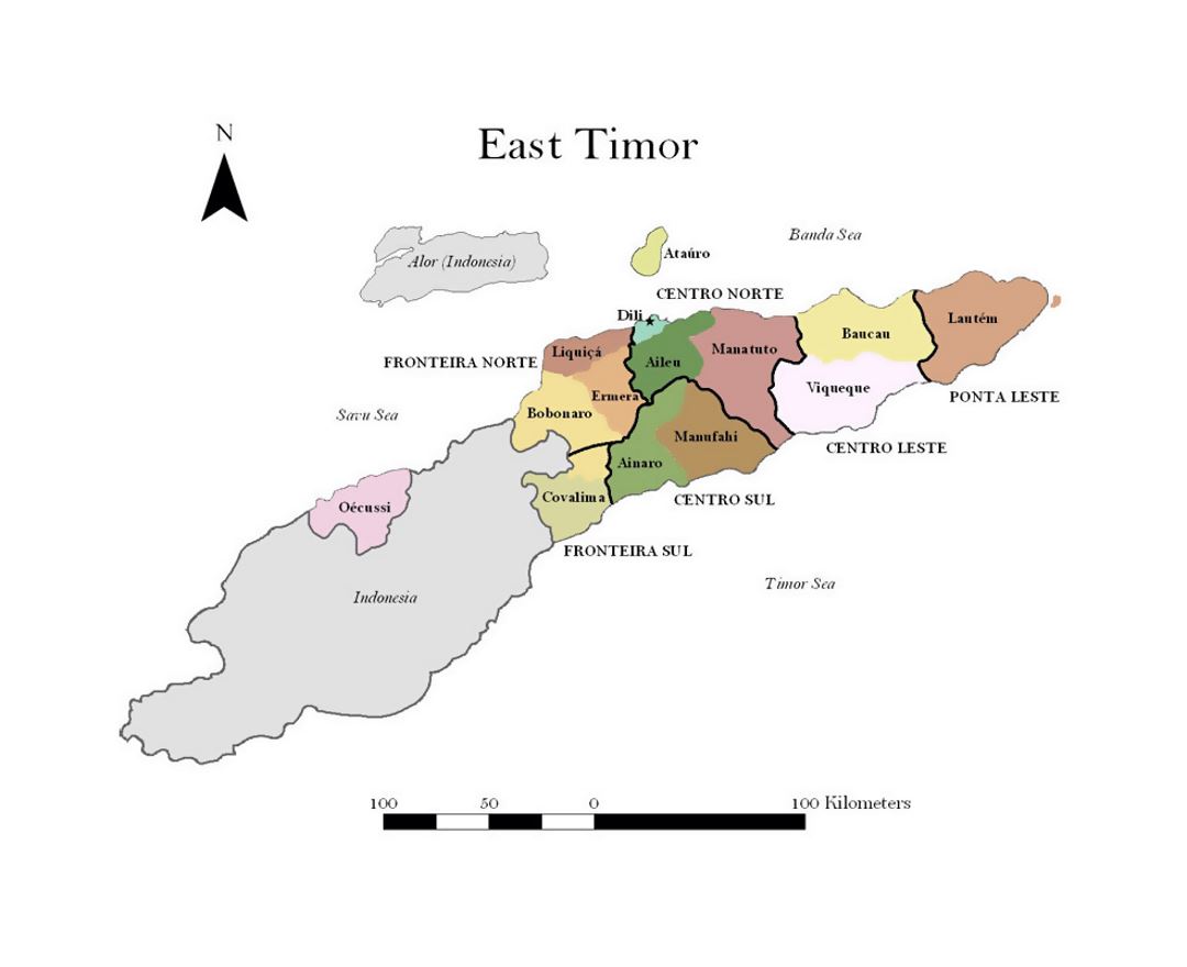
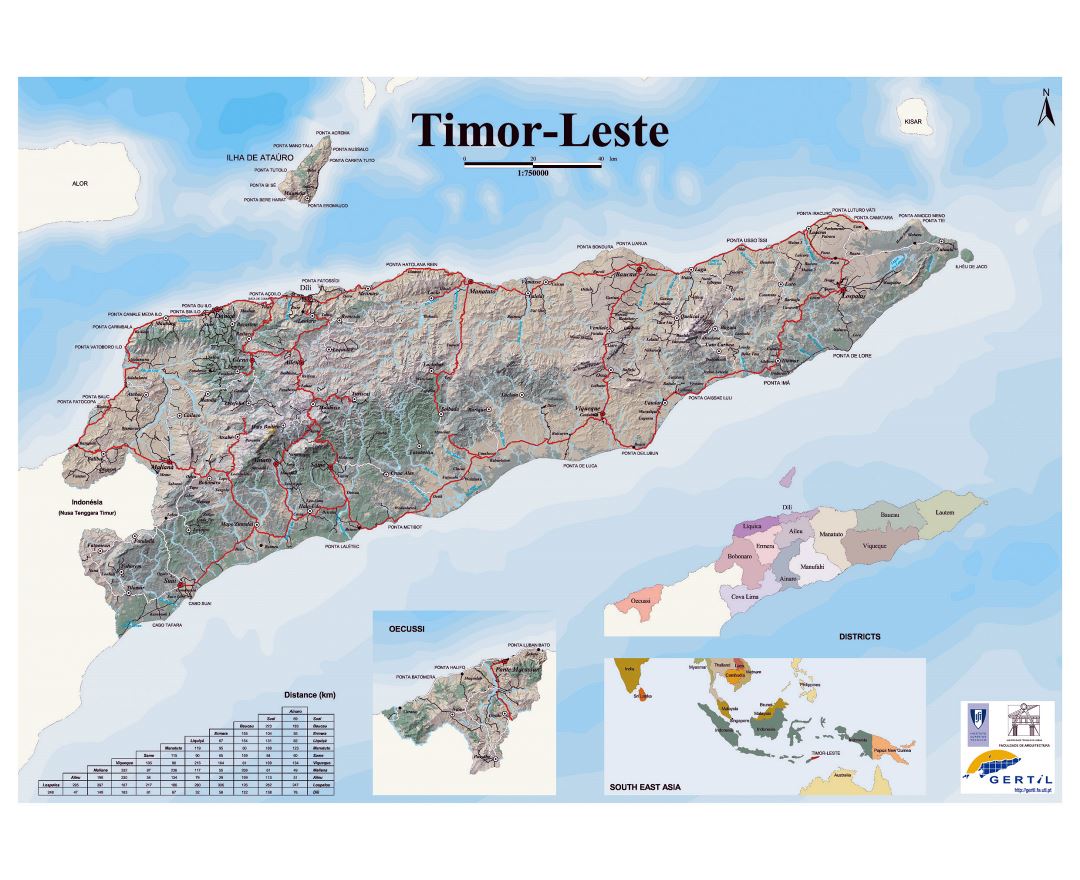
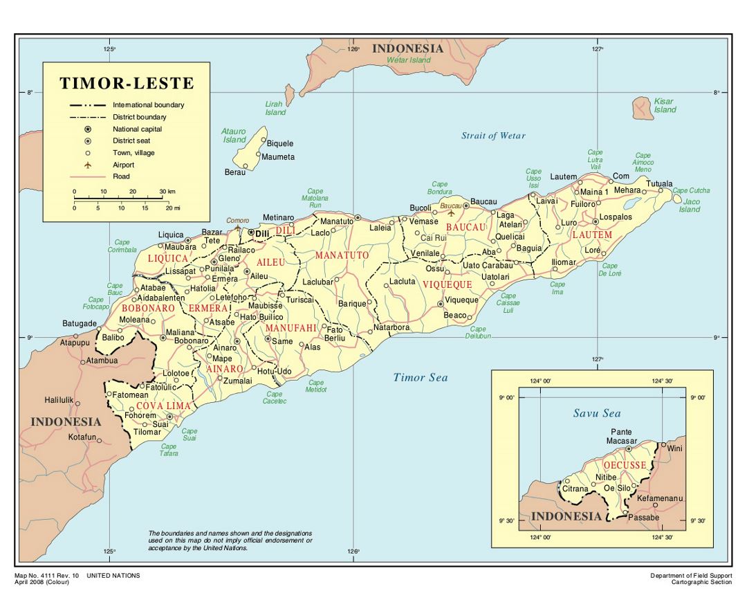
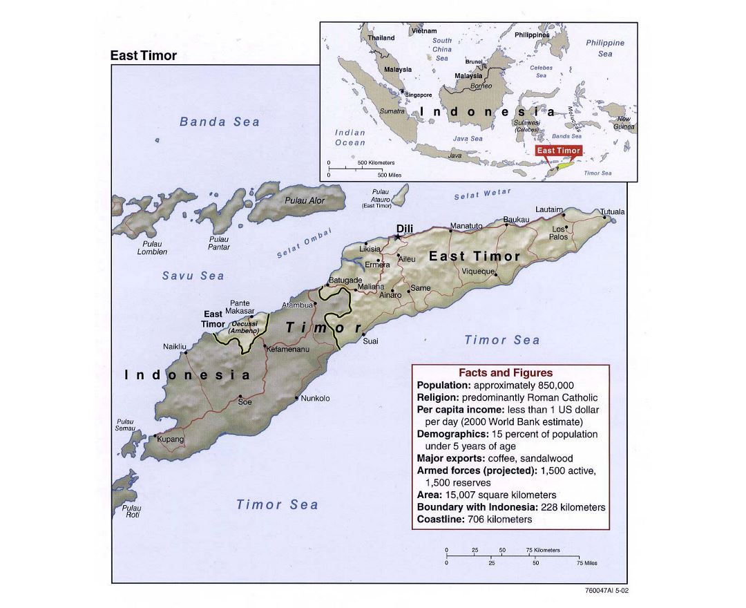
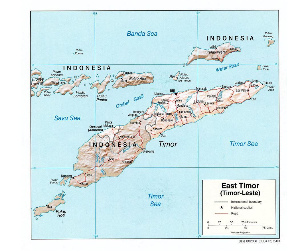
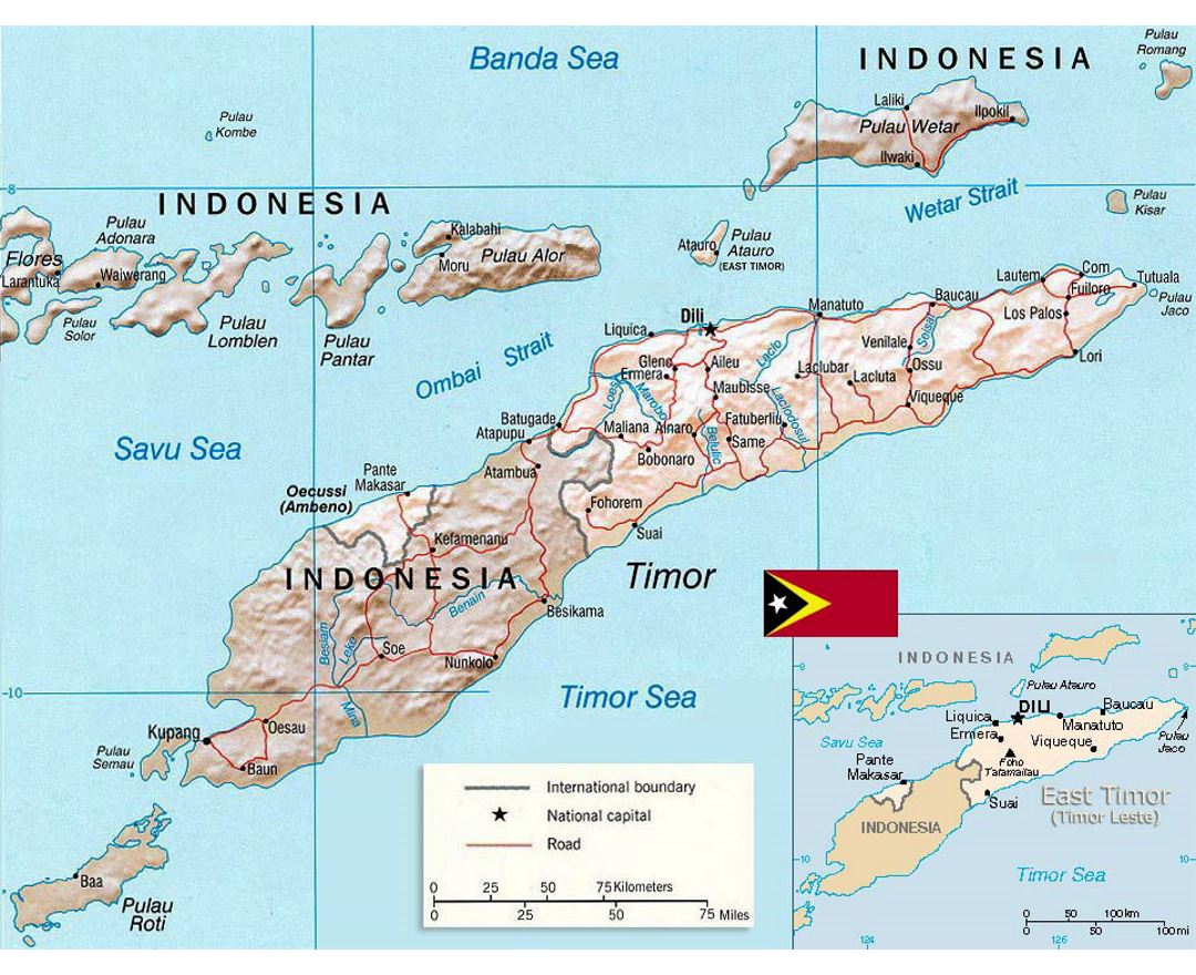
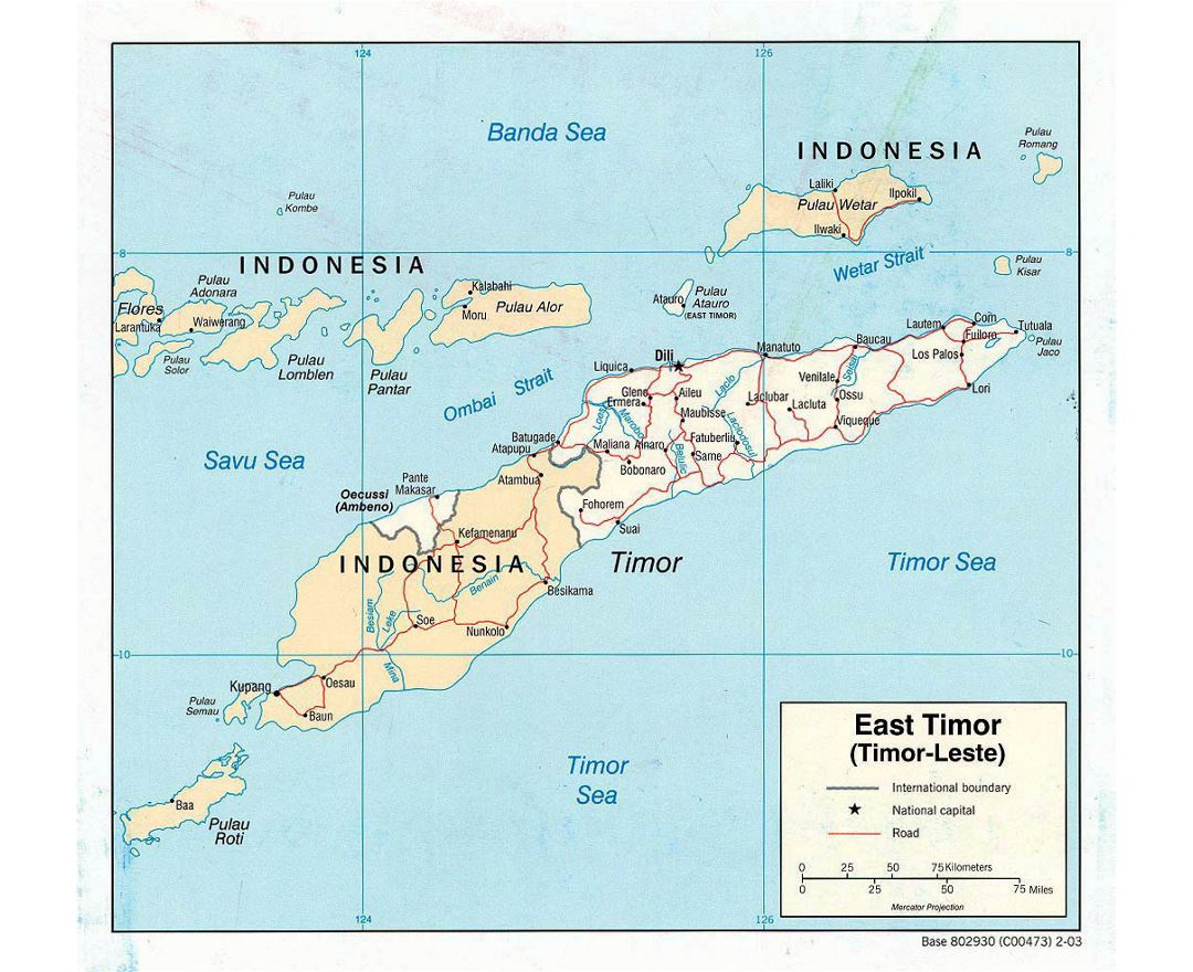
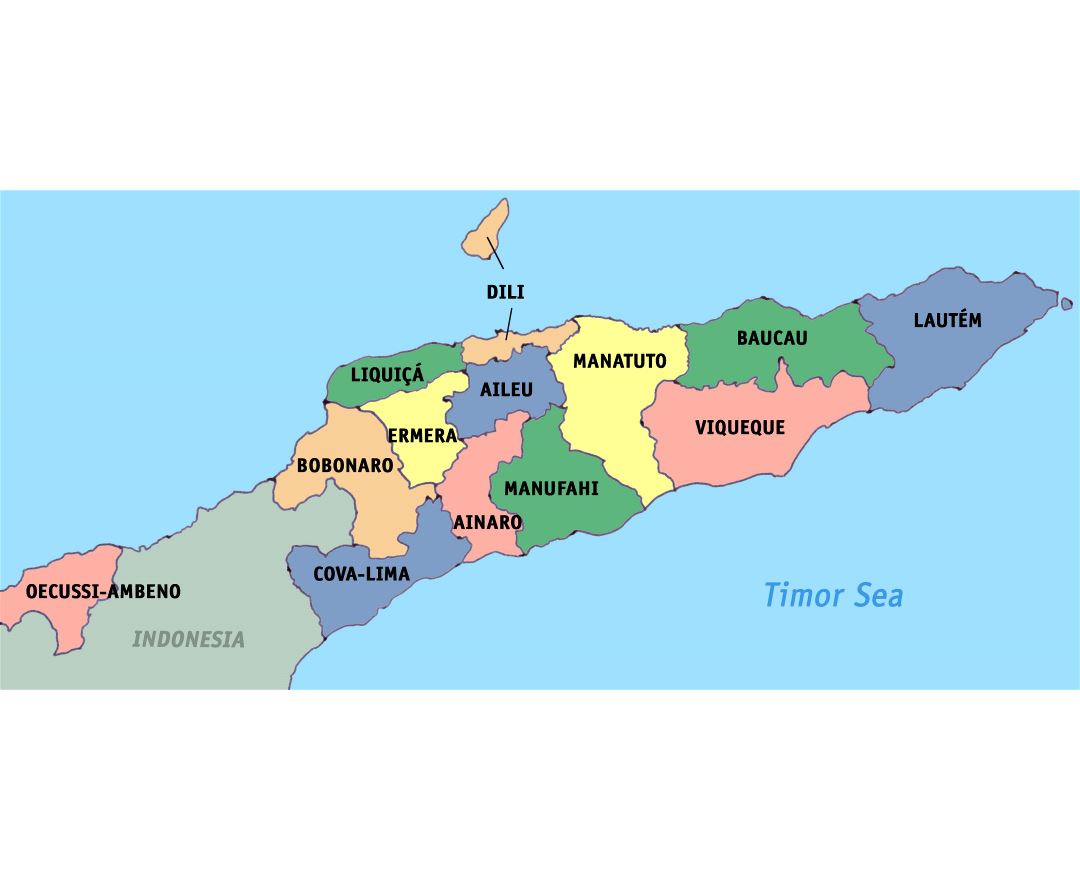
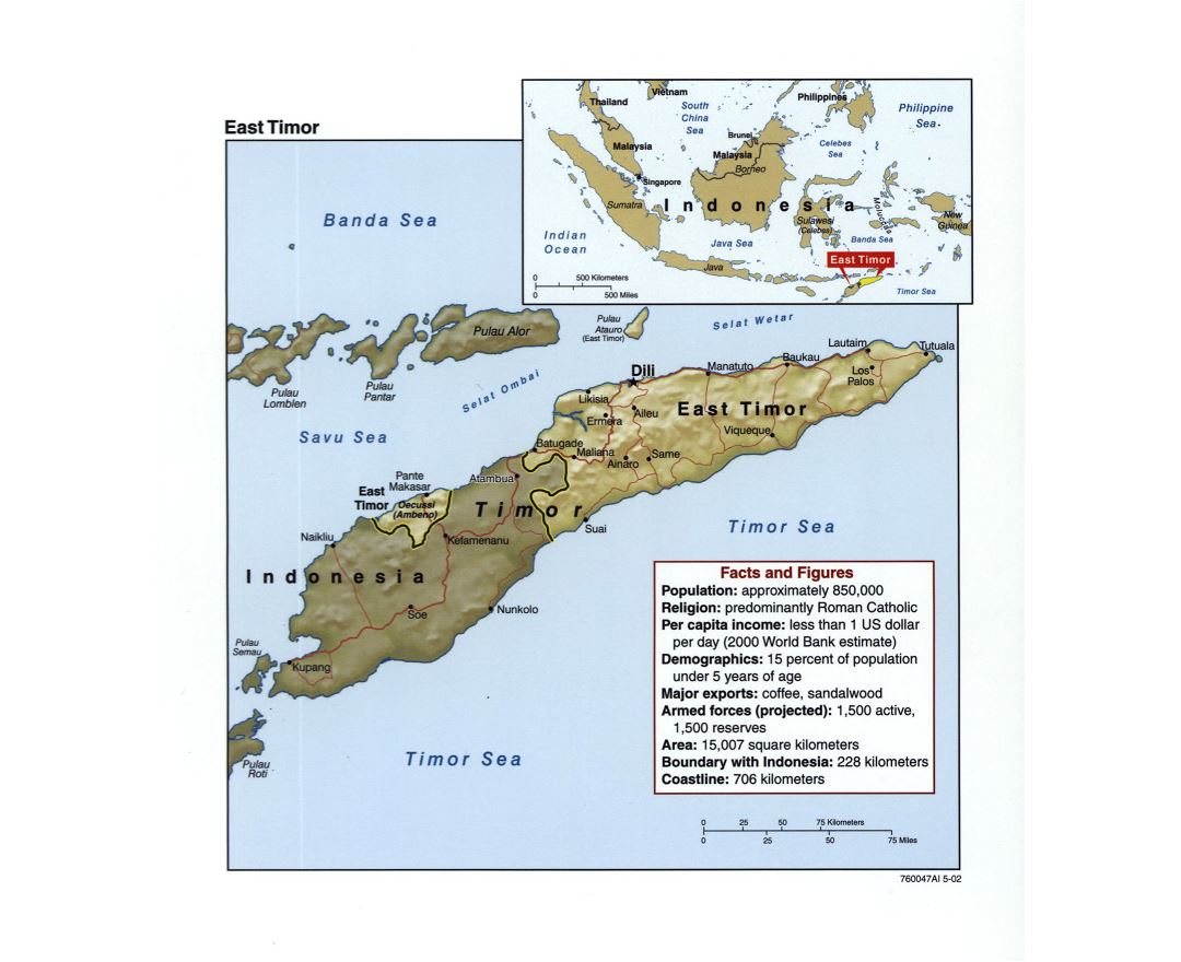
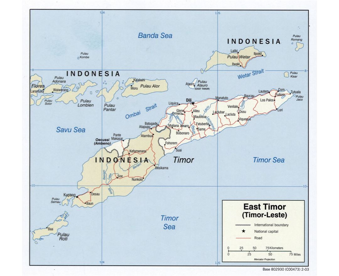
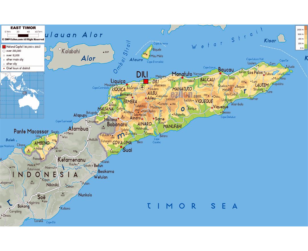
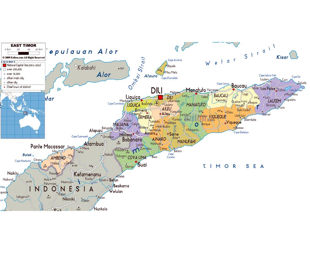
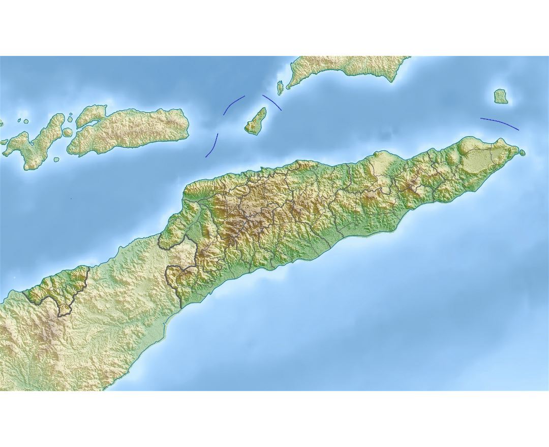
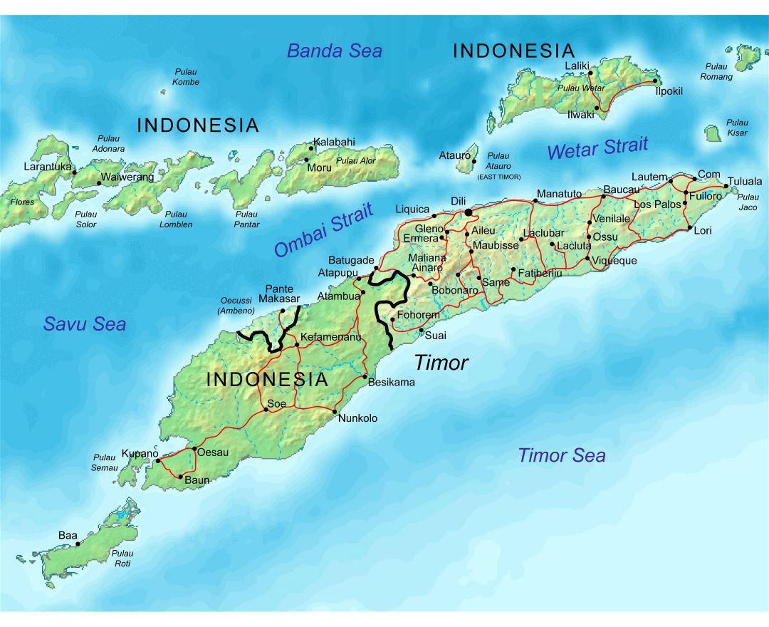
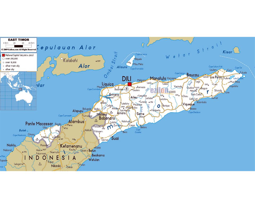
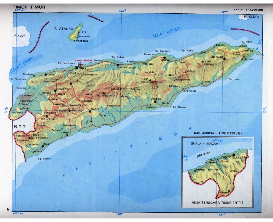
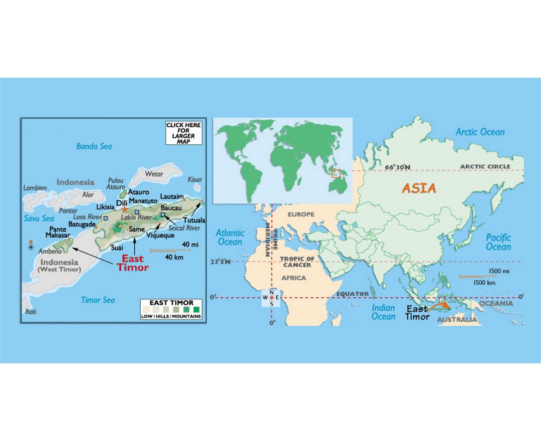
East Timor
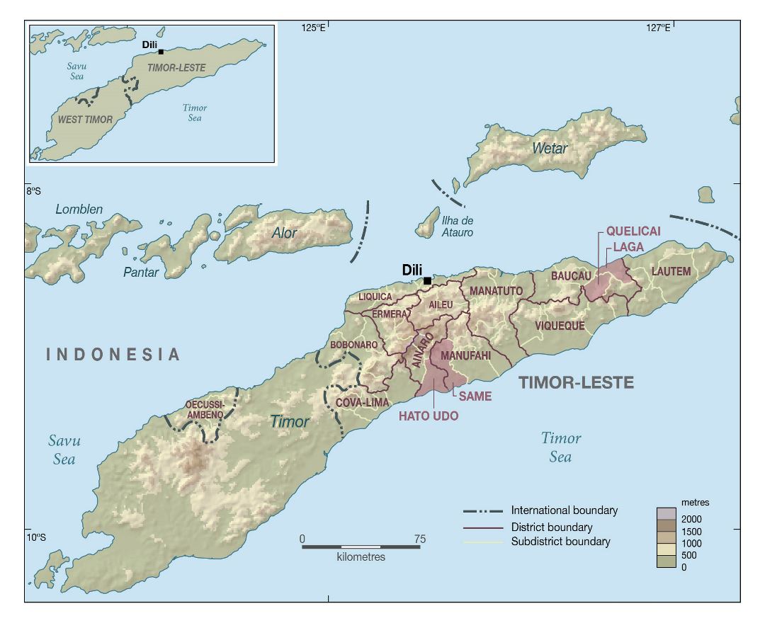
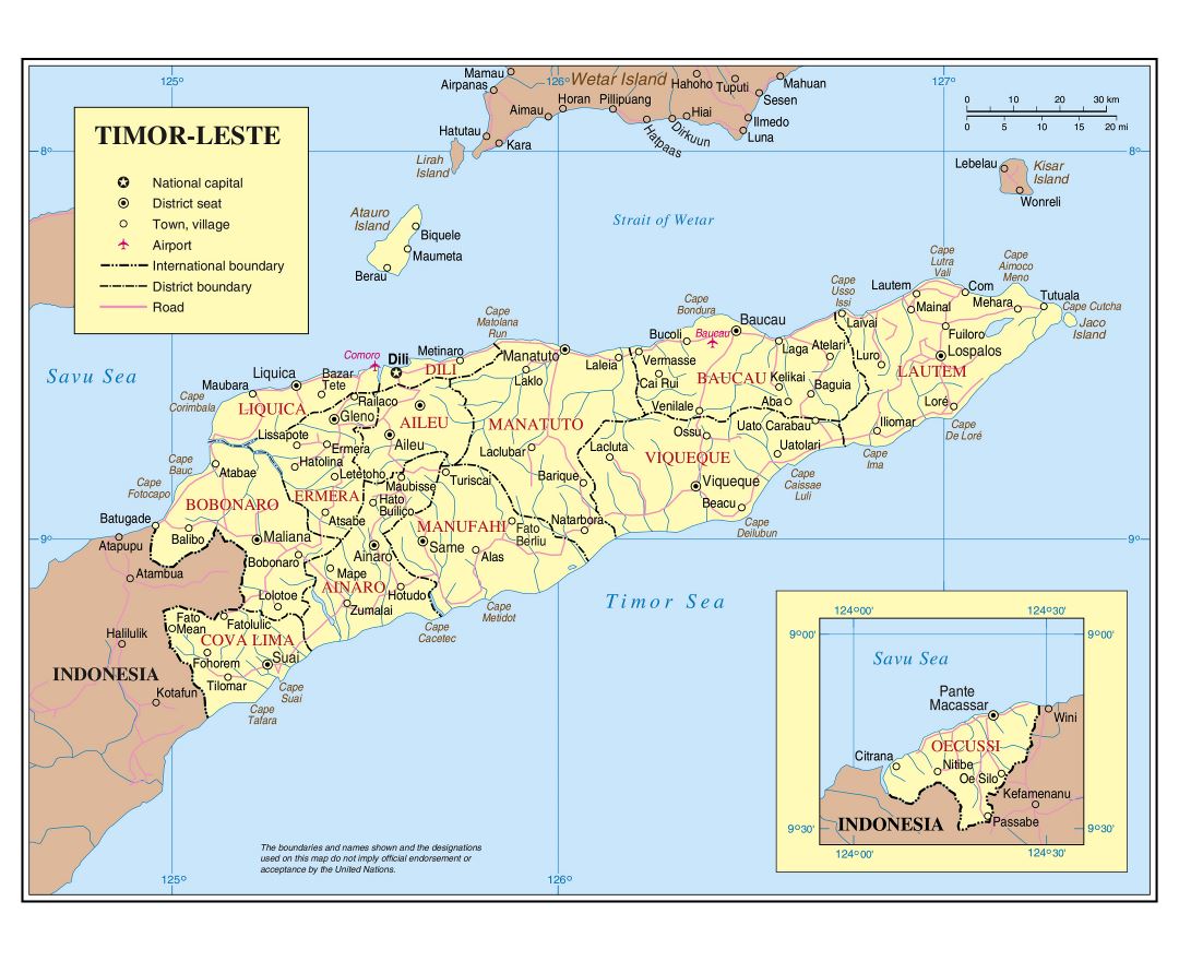
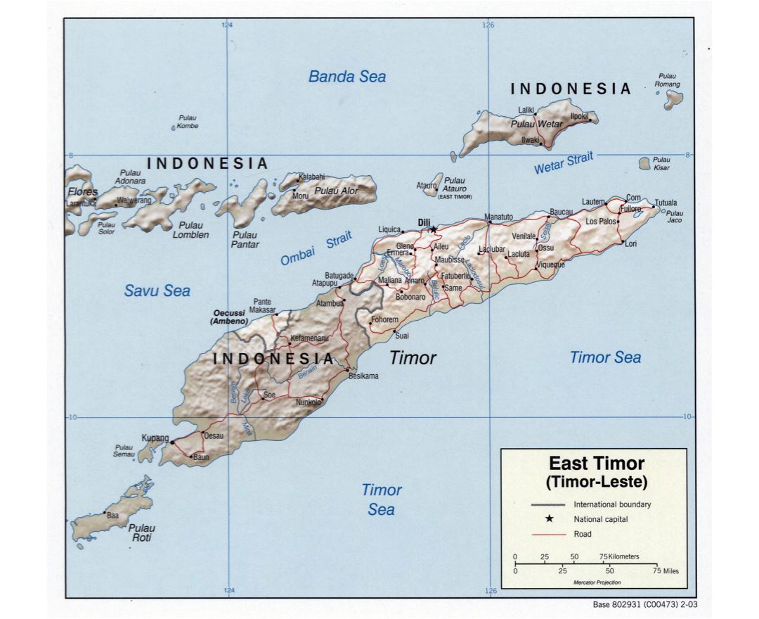
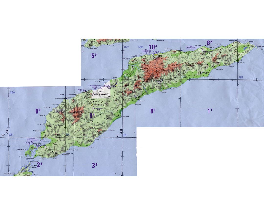
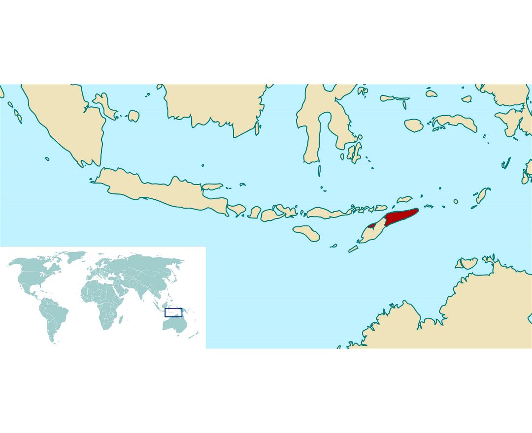
East Timor or Timor-Leste, officially the Democratic Republic of Timor-Leste, is a sovereign state in Maritime Southeast Asia. It comprises the eastern half of the island of Timor, the nearby islands of Atauro and Jaco, and Oecusse, an exclave on the northwestern side of the island surrounded by Indonesian West Timor. The country's size is about 15,410 km² (5,400 sq mi).
East Timor was colonised by Portugal in the 16th century, and was known as Portuguese Timor until November 1975, when the Revolutionary Front for an Independent East Timor (FRETILIN) declared the territory's independence. Nine days later, it was invaded and occupied by Indonesia and was declared Indonesia's 27th province the following year. The Indonesian occupation of East Timor was characterised by a highly violent decades-long conflict between separatist groups (especially FRETILIN) and the Indonesian military.
In 1999, following the United Nations-sponsored act of self-determination, Indonesia relinquished control of the territory. East Timor became the first new sovereign state of the 21st century on 20 May 2002 and joined the United Nations and the Community of Portuguese Language Countries. In 2011, East Timor announced its intention to gain membership status in the Association of Southeast Asian Nations by applying to become its eleventh member. It is one of only two predominantly Christian nations in Southeast Asia, the other being the Philippines.