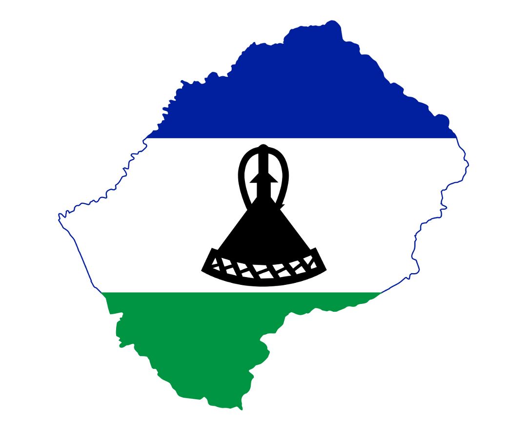
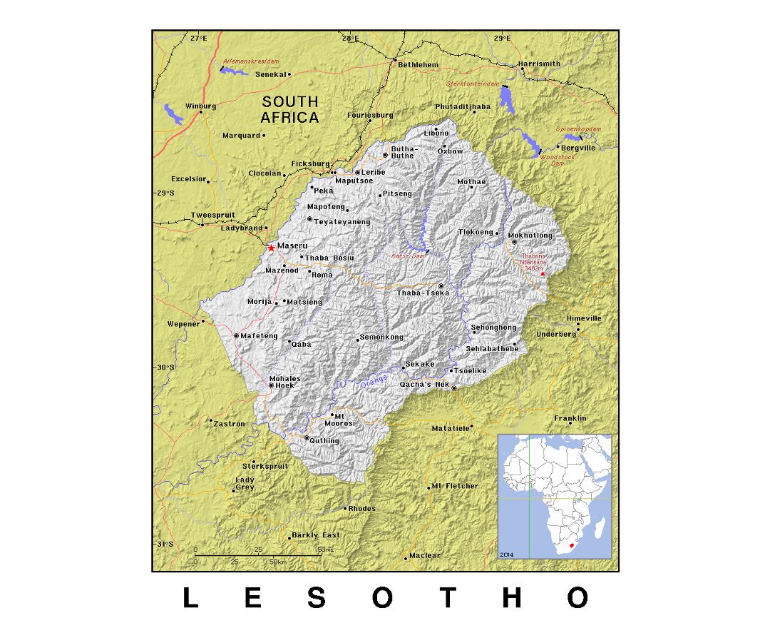
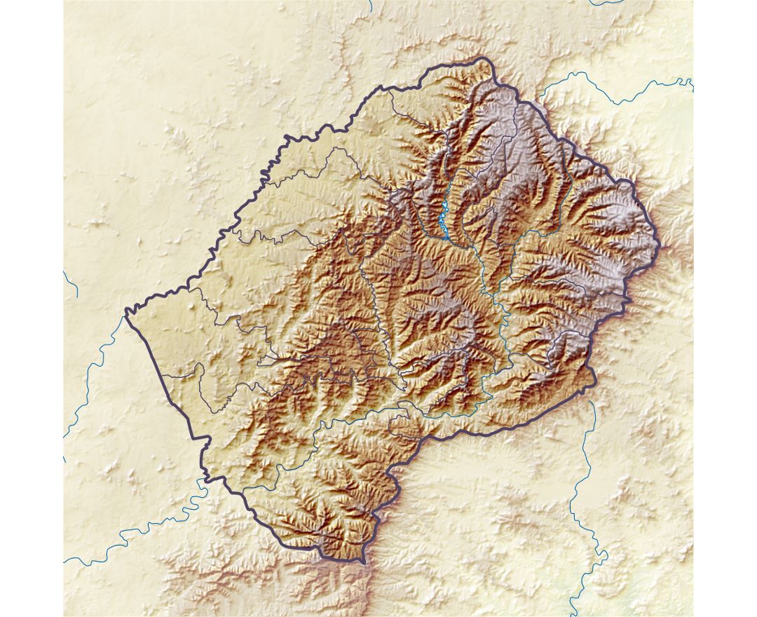
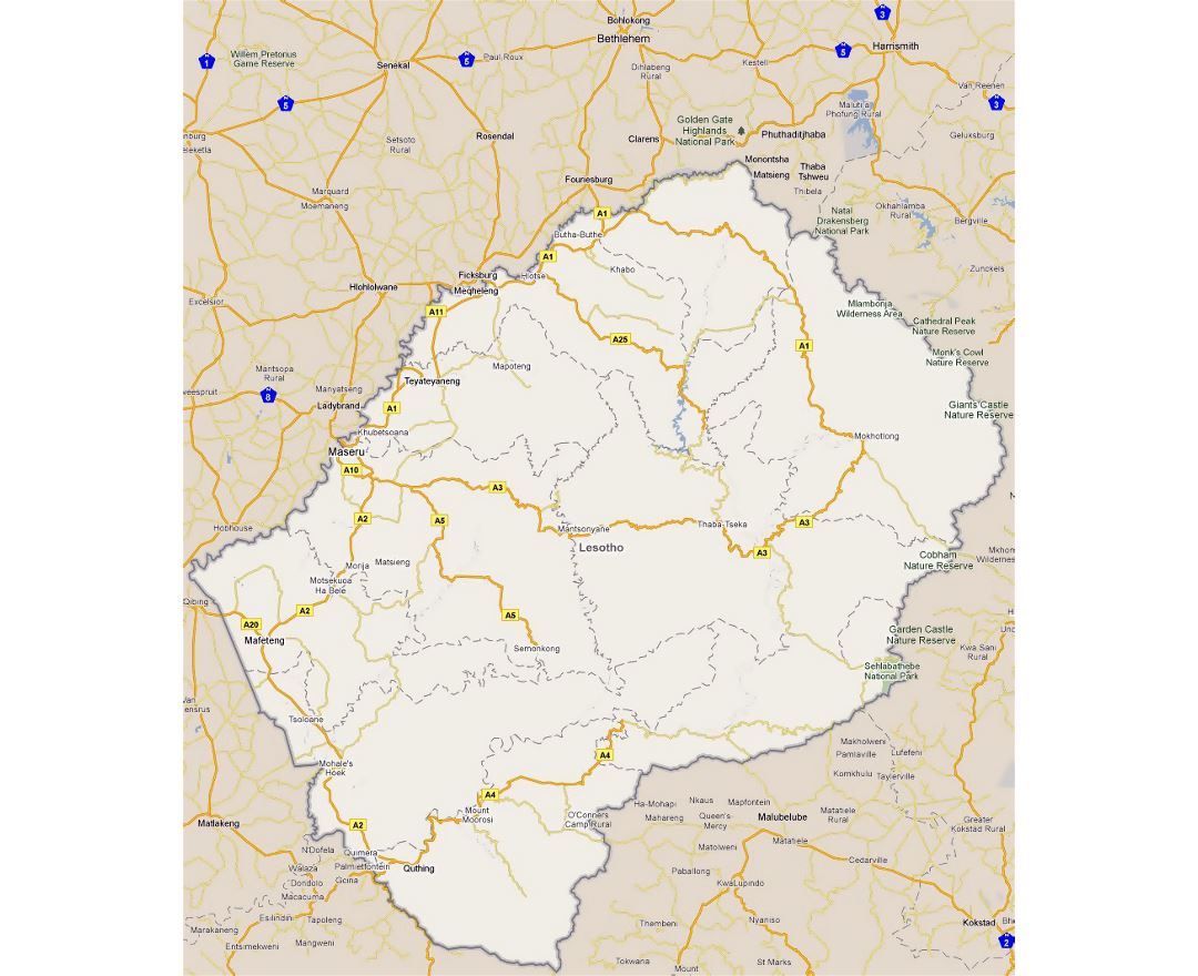
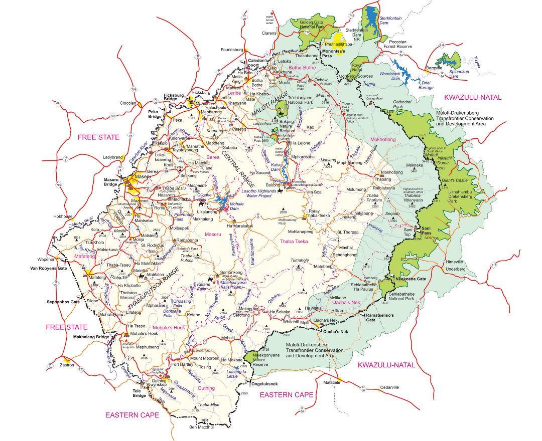
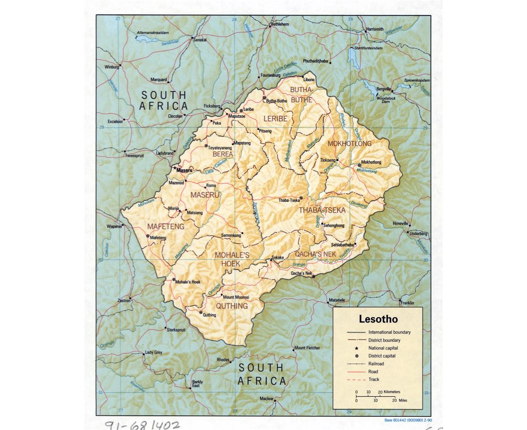
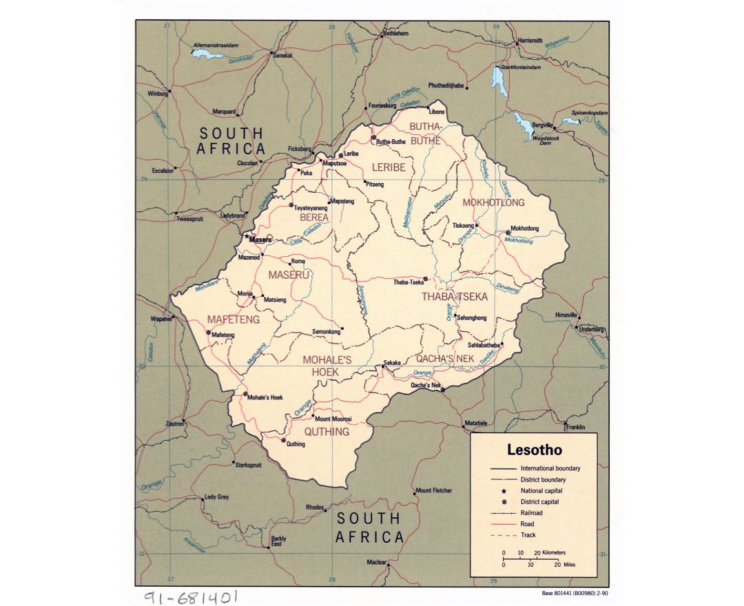
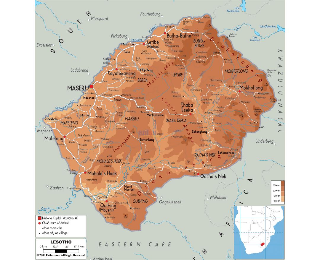
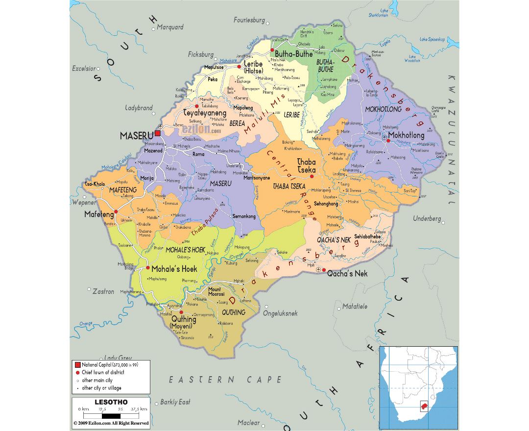
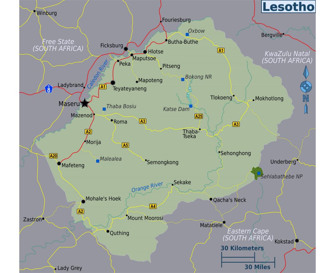
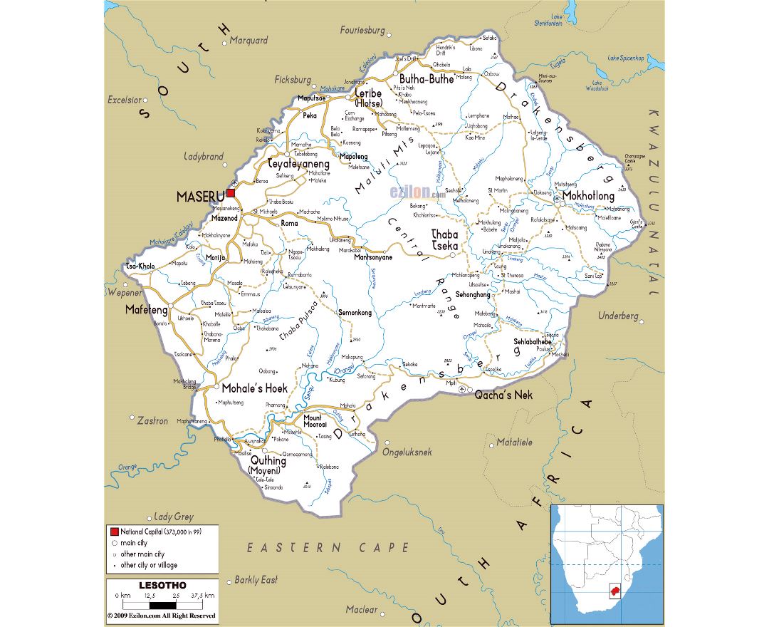
Lesotho
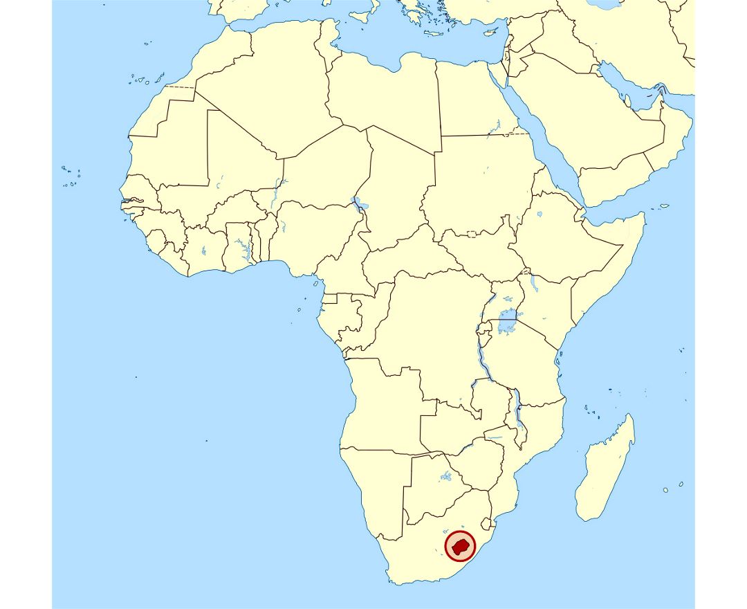
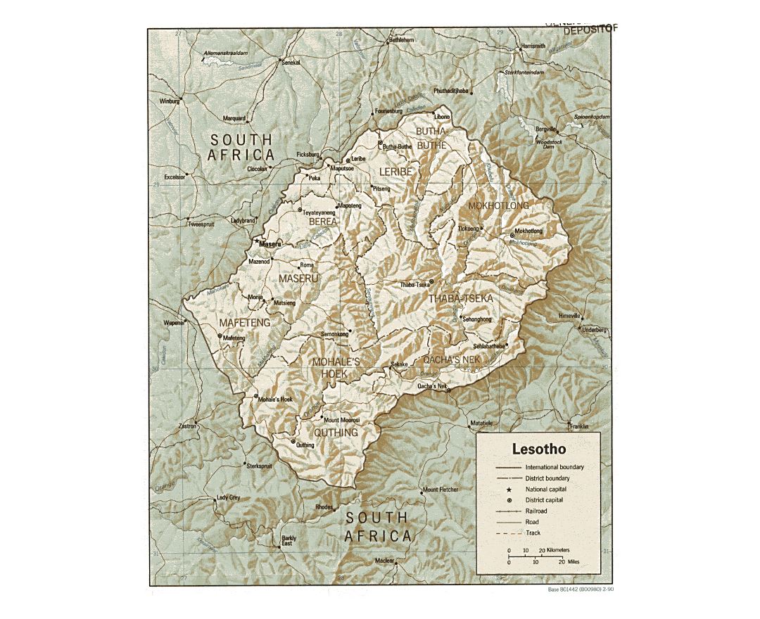
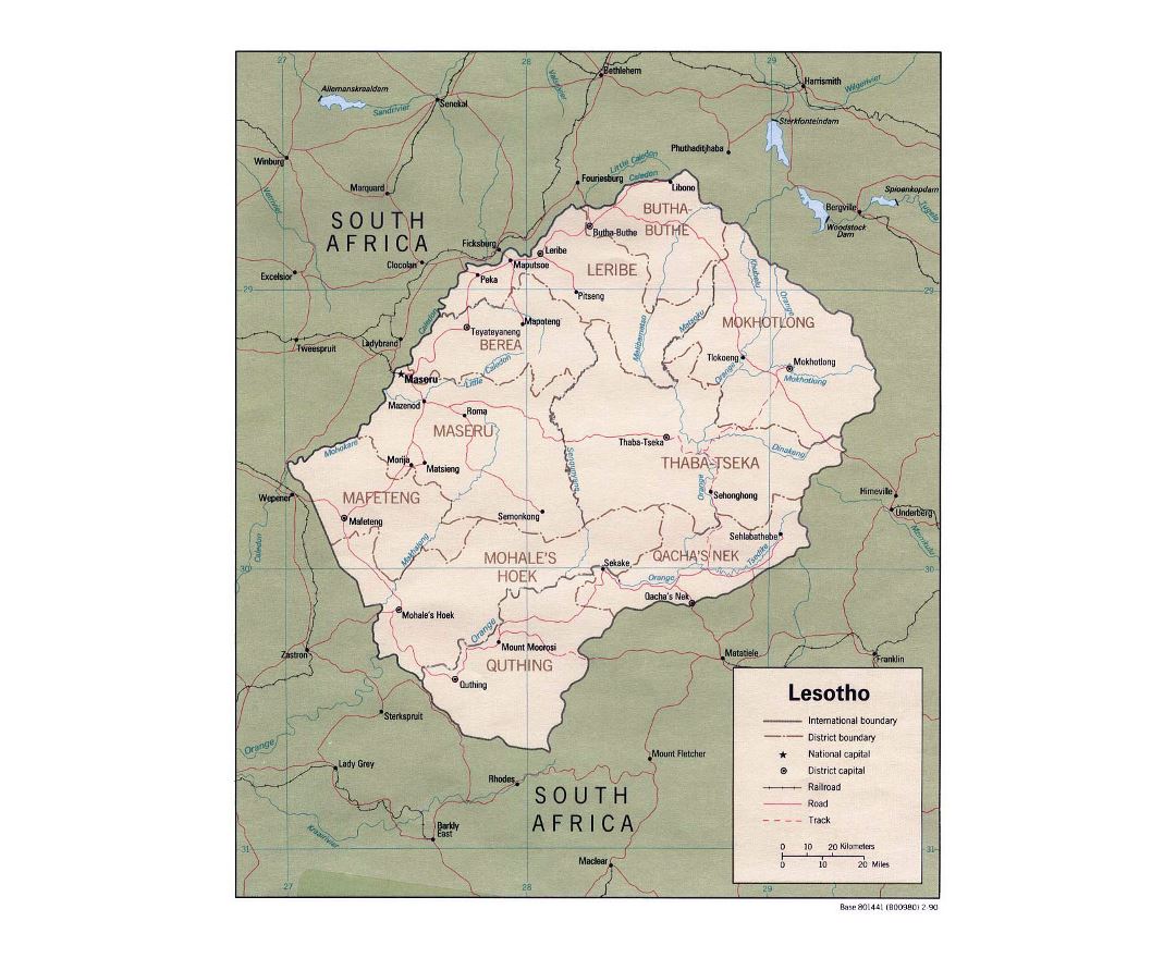
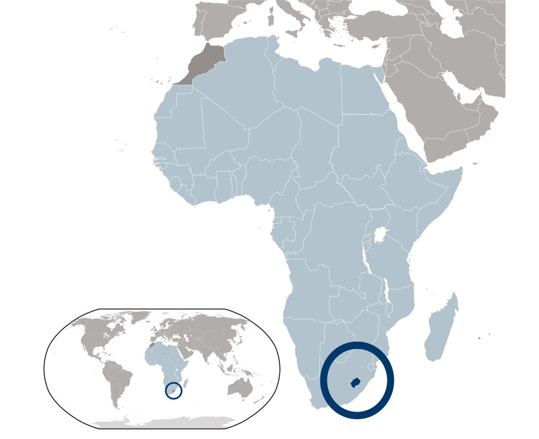
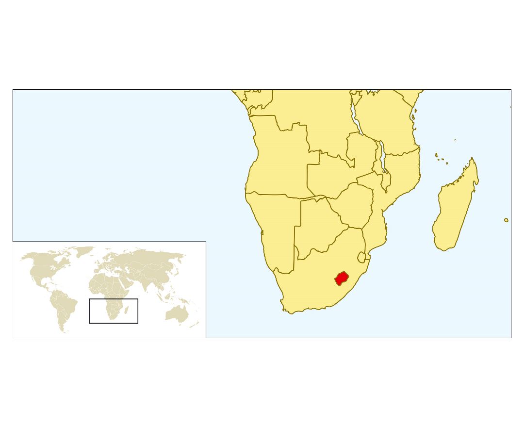
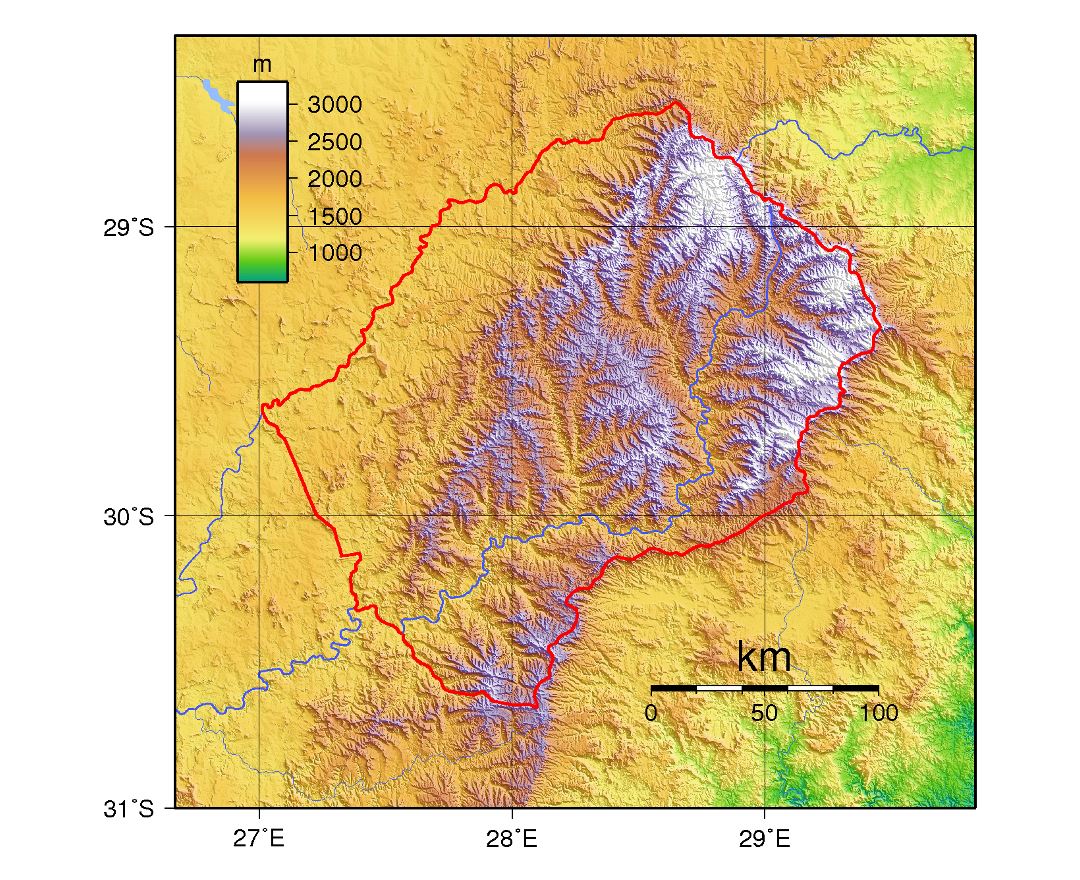
Lesotho, officially the Kingdom of Lesotho, is an enclaved, landlocked country in southern Africa completely surrounded by South Africa. It is just over 30,000 km² (11,583 sq mi) in size and has a population slightly over two million. Its capital and largest city is Maseru.
Previously known as Basutoland, Lesotho declared independence from the United Kingdom on 4 October 1966. It is a member of the United Nations, the Commonwealth of Nations and the Southern African Development Community (SADC). The name Lesotho translates roughly into the land of the people who speak Sesotho.[5] About 40% of the population lives below the international poverty line of US $1.25 a day.